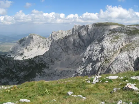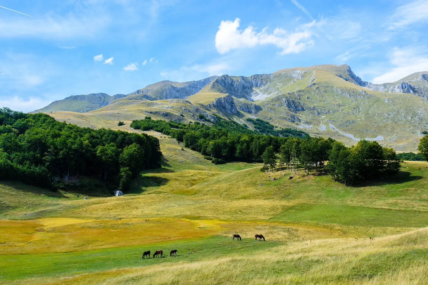
A one-way hiking tour through Durmitor National Park, with the Šljeme peaks and a long descent.
The Žabljak – Šljeme trail is 10.3 km long, with an ascent of 143 m and a descent of 1078 m. It passes through Durmitor National Park and takes about 3 h 55 min.
The Žabljak – Šljeme trail is 10.3 km long and leads through Durmitor National Park. The total ascent is 143 m, and the descent is 1078 m. The highest point is at 2451 m above sea level, the lowest at 1469 m above sea level. The tour takes about 3 h 55 min without breaks and is of moderate difficulty.
The terrain is varied: 63% consists of dirt and forest paths, 24% asphalt and concrete, and 13% gravel roads. The route is one-way, so return transport needs to be planned.
In the first section, the trail passes the peak Milošev tok, then by Šljeme (Eastern Peak) and Vrh Šljemena. It later descends toward the peak Panali, and at 10.3 km from the start there is a car park. Nearby are Crno Jezero, Riblje jezero, Vražje jezero and Sušičko jezero, and the trail passes about 0.5 km from Žabljak.
What this difficulty means
Longer or steeper sections and uneven ground. You need basic fitness, sturdy shoes and a little mountain experience.
Move along the profile to follow the route on the map; switch on 3D for the terrain.
↑ 143 m · ↓ 1,078 m · highest point 2,451 m
Along the way
Photos and short clips from points along the route – tap one to open it.
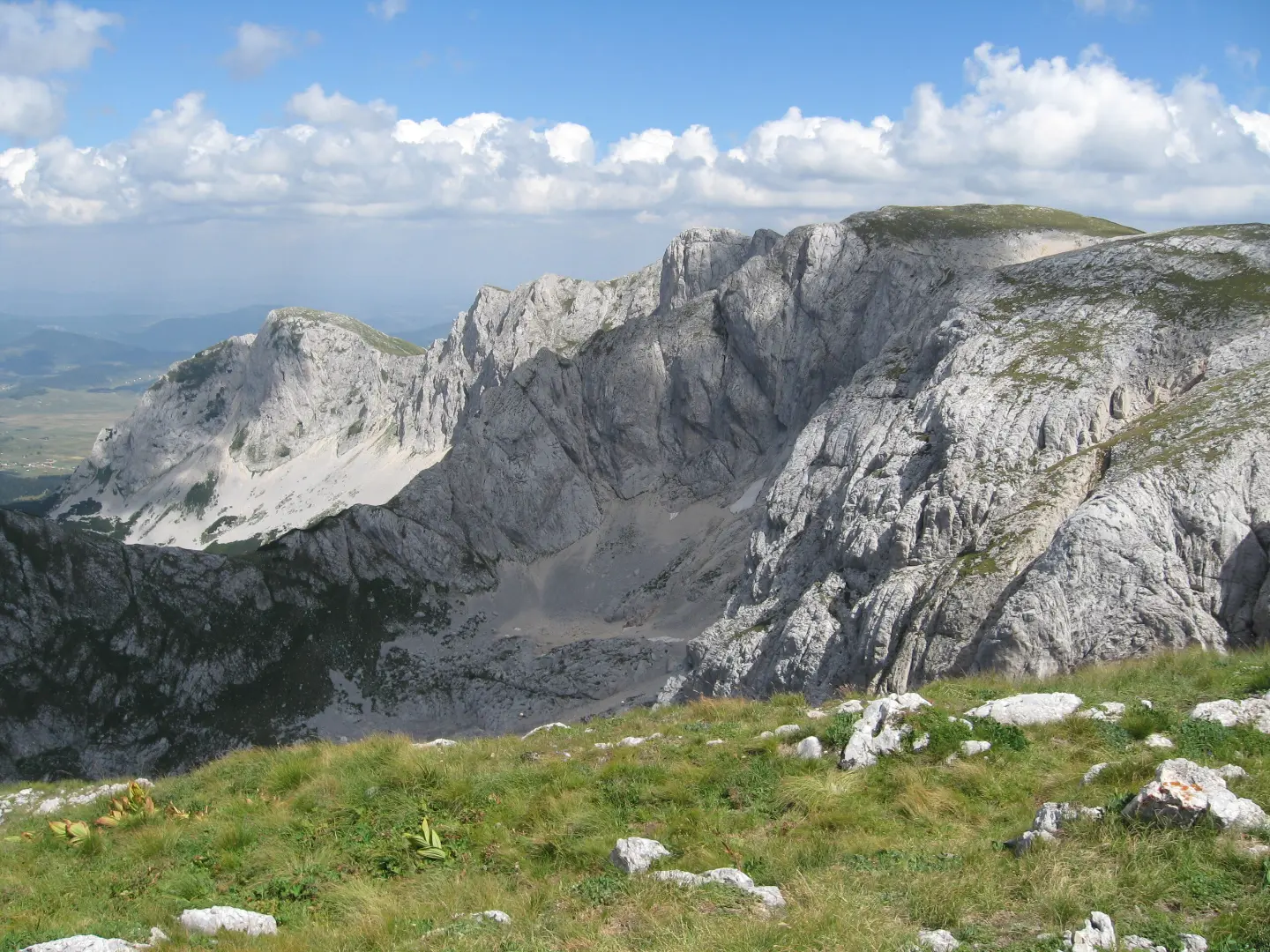
A peak 0.1 km from the start of the trail, at 2426 m above sea level.
Located 1.9 km from the start of the trail, in the high section of Durmitor.
A peak 4.2 km from the start, at 1813 m above sea level.
Near the trail are Crno Jezero, Riblje jezero, Vražje jezero and Sušičko jezero.
Bring enough water and food.
Plan to set off early in the morning; the tour takes 3 h 55 min without breaks and is one-way.
Wear hiking boots suitable for dirt, asphalt and gravel surfaces.
Dress in layers and bring protection from the sun and wind.
Check the weather forecast; sudden weather changes are possible at altitude.
Respect the rules of Durmitor National Park.
The trail reaches an altitude of 2451 m above sea level. Fog, strong sunlight and sudden weather changes are possible. In the event of thunder, descend from exposed peaks and call 112 in emergencies.
Emergency number in Montenegro: 112.
Good to know
Best season
The most favourable period is from June to September, when conditions at altitudes between 1469 m and 2451 m are generally more stable. In winter and early spring the trail may be covered in snow.
Getting there
The start of the trail is in Durmitor National Park. The nearest place to the start is Crno Jezero, about 4.7 km away, and the route passes about 0.5 km from Žabljak.
It is 10.3 km long.
About 3 h 55 min without breaks.
It is moderate; the total ascent is 143 m, and the descent is 1078 m.
In Durmitor National Park.
Climbing · Crno Jezero · Durmitor National Park
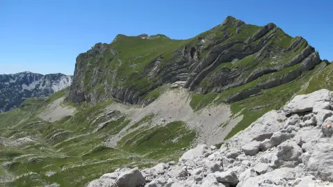
Hiking · Crno Jezero · Durmitor National Park
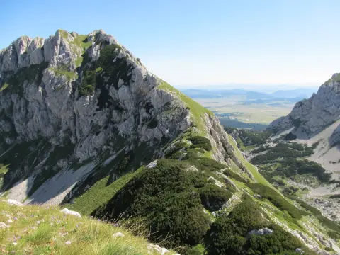
Hiking · Crno Jezero · Durmitor National Park
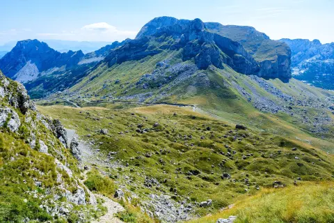
Via ferrata · Crno Jezero · Durmitor National Park
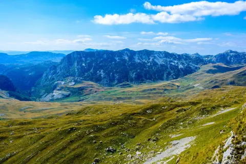
Cycling · Riblje jezero · Durmitor National Park
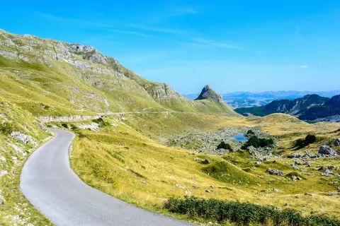
Cycling · Bijelo Polje · Durmitor National Park
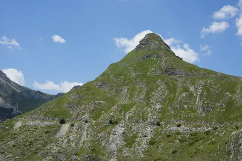
Cycling · Vražje jezero · Durmitor National Park
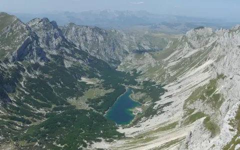
Hiking · Crno Jezero · Durmitor National Park
Times and grades are estimates. Conditions change: check the weather and local information before you set out. Map and data sources →