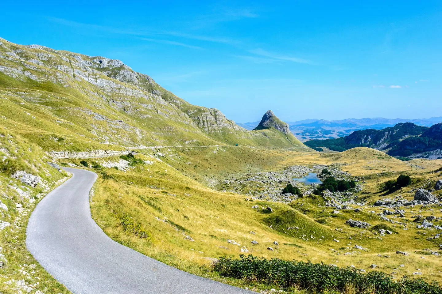
A demanding multi-day cycling tour through northern mountains, the Tara canyon and two national parks.
A demanding one-way cycling route 398,8 km long, with a total ascent of 9352 m. It passes through Biogradska Gora National Park and Durmitor National Park, past Bijelo Polje, Kolašin, Nikšić and Žabljak.
Top Biking Trail 2 – NORTH DISCOVERIES is a multi-day one-way cycling tour. It is 398,8 km long, with a total ascent of 9352 m and descent of 9324 m. Asphalt/concrete dominates the surface (68%), while gravel accounts for 31%. The route is very demanding and intended for experienced cyclists.
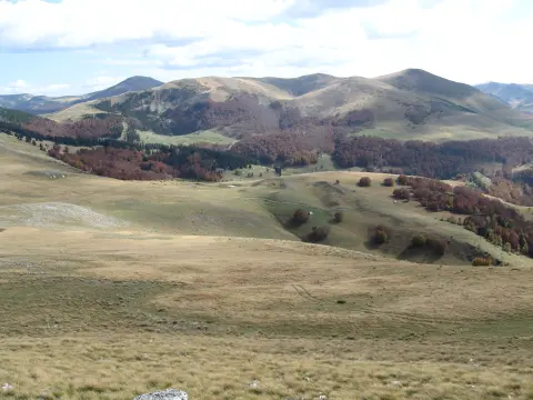
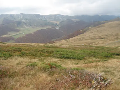
The trail passes through Biogradska Gora National Park and Durmitor National Park, and along the Tara River canyon. It also leads past the towns of Bijelo Polje, Kolašin, Nikšić and Žabljak. The highest point is at 1925 m above sea level, and the lowest at 181 m above sea level.
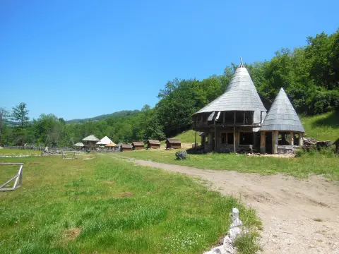
Along the route there are mountain lodges and cabins, including Maganik Mountain Lodge, Katun Reljina Mountain Retreat and Cmiljača Mountain Lodge. Nearby are also the lakes Šiško, Pešića and Crno Jezero. There are several drinking fountains and springs, but on long mountain sections a water reserve is essential.
Due to the length and total ascent, the tour should be planned in stages. The estimated riding time without breaks is 45 h 15 min.
What this difficulty means
Very long, very steep or technical riding. For strong riders with good bike handling and self-sufficiency.
Move along the profile to follow the route on the map; switch on 3D for the terrain.
↑ 9,352 m · ↓ 9,324 m · highest point 1,925 m
Along the way
The trail passes through Biogradska Gora National Park.
The route leads through Durmitor National Park, along the lakes Šiško, Pešića and Crno Jezero.
The trail passes along the Tara River canyon.
A peak near the route at 362,4 km from the start, close to the highest point of the tour.
Along the route are the Maganik Mountain Lodge, Katun Reljina Mountain Retreat and Cmiljača Mountain Lodge.
Use a bicycle suited to both asphalt and gravel, with wider tires and reliable brakes.
Plan several stages and check accommodation options in mountain lodges or cabins in advance.
Bring enough water and food; there are drinking fountains and springs along the route, but some sections are long.
Check the weather forecast before each stage; sudden changes and fog are possible in the mountains.
Carry spare parts, tools, a pump, a GPS device or map, and a flashlight.
Start early and avoid the hottest part of the day, especially on open asphalt sections.
Fog, thunderstorms and sudden weather changes are possible on mountain sections. In case of an accident or bad conditions, call 112. Be sure to bring a charged phone and a backup power source.
Emergency number in Montenegro: 112.
Good to know
Best season
The best period for riding is from late spring to early autumn, when mountain passes are passable. Snow can remain on the highest sections until spring.
Getting there
The start of the trail is near Bijelo Polje, about 0,2 km from the center.
It is 398,8 km long, from start to finish in one direction.
Estimated time without breaks is 45 h 15 min, so the tour must be divided into multiple days.
It is very demanding and intended for experienced cyclists; total ascent is 9352 m.
It passes through Biogradska Gora National Park and Durmitor National Park.
51.4 km↑ 1,468 m5½–7½ h
17.3 km↑ 1,380 m6–9 h
39.0 km↑ 1,580 m5–7 h
22.8 km↑ 1,540 m7½–10½ h
18.7 km↑ 149 m5–7½ h
111 km↑ 2,882 m2–3 days
84.6 km↑ 1,878 m8–11½ h
26.3 km↑ 1,589 m8½–11½ h
Times and grades are estimates. Conditions change: check the weather and local information before you set out.

Ask about Montenegro
Ask me about destinations, restaurants or activities.
