A demanding 51.4 km cycling tour through hilly terrain near Bijelo Polje, with a mixed surface.
The BP02 cycling route is 51.4 km long and runs point-to-point through the surroundings of Bijelo Polje. It has a total ascent of 1468 m, a total descent of 880 m, and an estimated duration of 6 h 20 min without breaks.
The BP02 route starts near Bijelo Polje, about 0.5 km from the beginning. It runs point-to-point through mixed terrain: 47% asphalt/concrete, 33% dirt/forest trail, and 20% gravel. The total length is 51.4 km, with an ascent of 1468 m and a descent of 880 m. The lowest point is at 558 m a.s.l., and the highest at 1567 m a.s.l.
At 4.5 km from the start there is a drinking water fountain at 587 m a.s.l., and at 14.2 km the next drinking fountain at 987 m a.s.l. In the section from 32.2 km to 33.2 km near the route are the peaks Bandera (Begluk), 1587 m a.s.l., and Vučkovo brdo, 1564 m a.s.l. The route is marked.
The ride is demanding and takes about 6 h 20 min without breaks. Due to the length, ascent, and mixed surface, it is recommended for cyclists with good fitness and experience.
What this difficulty means
Long distances, big climbs or technical sections. For fit, experienced riders.
Places on this route
Move along the profile to follow the route on the map; switch on 3D for the terrain.
↑ 1,468 m · ↓ 880 m · highest point 1,567 m
Along the way
Bandera Peak (Begluk) at 1587 m a.s.l. is located 32.2 km from the start of the route.
Vučkovo brdo Peak at 1564 m a.s.l. is located 33.2 km from the start of the route.
Drinking water fountain at 587 m a.s.l., in the initial part of the route.
Drinking water fountain at 987 m a.s.l., 14.2 km from the start of the route.
Bring enough water and food; there are drinking fountains along the route, but do not consider them the only source of water.
Check the weather before setting off and dress in layers, because the temperature can drop at higher points.
Start early in the morning; the estimated riding time is 6 h 20 min without breaks.
Prepare your bike for mixed surfaces — asphalt, gravel, and forest roads.
Wear a helmet, carry basic repair tools and a charged phone; the route is point-to-point.
On higher sections, fog, thunderstorm showers, and weaker signal are possible. Due to the demanding nature of the route, ride carefully and do not overestimate your strength. In case of an accident, call 112.
Emergency number in Montenegro: 112.
Good to know
Best season
The most favorable period is from late spring to early autumn, when the mountain and forest sections are more passable and weather conditions are more stable.
Getting there
The start of the route is about 0.5 km from Bijelo Polje. Petnjica is also near the route, about 8.6 km from the trail.
The route is 51.4 km long and runs point-to-point.
The estimated duration without breaks is 6 h 20 min.
On our scale, the trail is demanding, with a total ascent of 1468 m and a descent of 880 m.
The nearest place to the start of the trail is Bijelo Polje, about 0,5 km from the start.

399 km↑ 9,352 m5–8 days
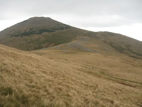
17.3 km↑ 1,380 m6–9 h
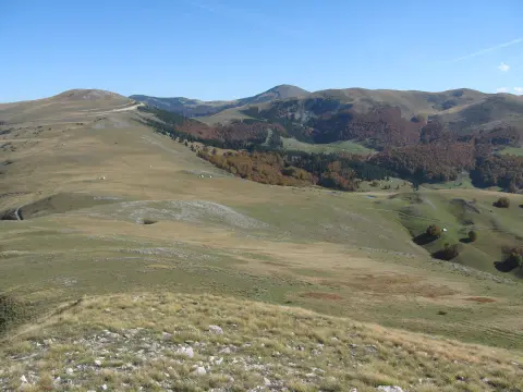
39.0 km↑ 1,580 m5–7 h
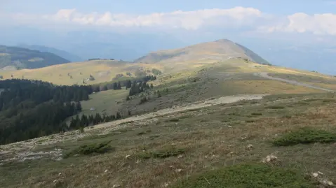
22.8 km↑ 1,540 m7½–10½ h
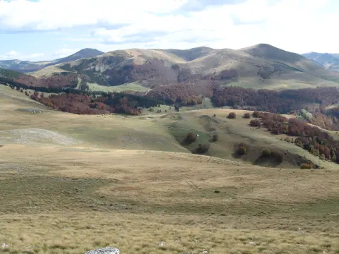
18.7 km↑ 149 m5–7½ h
111 km↑ 2,882 m2–3 days
84.6 km↑ 1,878 m8–11½ h
26.3 km↑ 1,589 m8½–11½ h
Times and grades are estimates. Conditions change: check the weather and local information before you set out.

Ask about Montenegro
Ask me about destinations, restaurants or activities.
