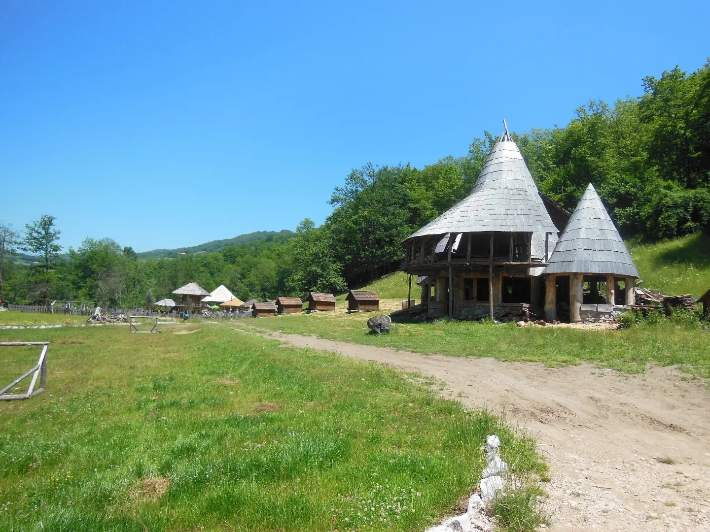
Demanding cycling route near Bijelo Polje: 84.6 km of asphalt and gravel, 1878 m of ascent.
Demanding cycling tour BP01, 84.6 km long, leads through hilly areas near Bijelo Polje. Total ascent is 1878 m, descent 1905 m; it runs mainly on asphalt (73%) and gravel (25%).
Biking Trail BP01 is a demanding one-way cycling route, 84.6 km long. It leads through areas between 685 m and 1482 m above sea level, with a total ascent of 1878 m and descent of 1905 m. It runs mainly on asphalt and concrete (73%), and the rest on gravel (25%). Due to its length and elevation difference, plan it as a multi-day tour; riding without breaks takes about 9 hours and 25 minutes.
On the trail, longer asphalt sections and gravel climbs alternate. In the first part you come across several fountains, and at 26.4 km you reach the Maren peak (1345 m a.s.l.). Followed by the Gradac peak (1116 m a.s.l.) at 39.2 km and the Žuta galica peak (1143 m a.s.l.) at 77.5 km. At 75.5 km there is a shelter, and at the end of the trail (84.6 km) a parking area.
During the ride you pass by numerous fountains and springs, but the highest point is 1482 m a.s.l., so steep and long climbs are possible. The route is suitable for experienced cyclists with good fitness and appropriate equipment. The trail is near Bijelo Polje (about 7.6 km).
What this difficulty means
Long distances, big climbs or technical sections. For fit, experienced riders.
Places on this route
Move along the profile to follow the route on the map; switch on 3D for the terrain.
↑ 1,878 m · ↓ 1,905 m · highest point 1,482 m
Along the way
Peak at 26.4 km from the start, at 1345 m a.s.l.
Peak at 39.2 km from the start, at 1116 m a.s.l.
Peak at 77.5 km from the start, at 1143 m a.s.l.
Fountain at 68.0 km from the start, at 1460 m a.s.l.
Shelter at 75.5 km from the start, at 1188 m a.s.l.
Plan the tour as a multi-day one: the length is 84.6 km, and the total ascent is 1878 m.
Bring enough water and a purification agent; fountains along the trail may be dry.
Check the weather forecast and avoid riding in thunderstorms; the highest point is 1482 m a.s.l.
Wear a helmet, carry spare parts and tools; gravel sections can be demanding.
Start early in the morning, especially in summer, to avoid the hottest part of the day.
Due to altitudes up to 1482 m a.s.l., rapid weather changes, fog, and thunderstorms are possible. In case of an accident, call 112. Mobile phone signal may be weak in mountainous sections.
Emergency number in Montenegro: 112.
Good to know
Best season
It is best to ride from late spring to early autumn, when roads are passable and temperatures are moderate. In summer, start early; in higher areas it can be cool and humid.
Getting there
The trail is located about 7.6 km from Bijelo Polje. Parking is at the end of the trail, at 84.6 km from the start.
The trail is 84.6 km long and is ridden one-way.
Estimated duration without breaks is 9 hours and 25 minutes; due to the length and climbs, a multi-day tour is recommended.
The trail is demanding: total ascent is 1878 m, and total descent is 1905 m.
The surface is mixed: 73% asphalt/concrete and 25% macadam.

399 km↑ 9,352 m5–8 days
51.4 km↑ 1,468 m5½–7½ h
11.3 km↑ 616 m3½–5 h
78.8 km↑ 2,501 m3–5 days

143 km↑ 5,436 m6–9 days
18.7 km↑ 149 m5–7½ h
39.0 km↑ 1,580 m5–7 h
22.8 km↑ 1,540 m7½–10½ h
Times and grades are estimates. Conditions change: check the weather and local information before you set out.

Ask about Montenegro
Ask me about destinations, restaurants or activities.
