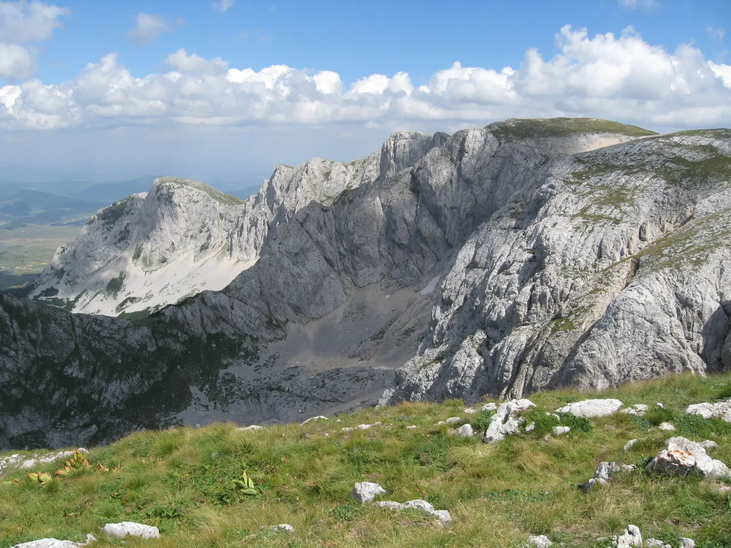
Multi-pitch mountaineering routes in Durmitor National Park: Lojanik, Zubci and Milošev tok, with rock faces up to 700 m.
Multi-pitch mountaineering routes in Durmitor National Park: Lojanik, Zubci and Milošev tok, with rock faces up to 700 m.
Durmitor offers mountaineering climbing on rock faces up to 700 m high (Savin kuk, Šljeme with prominent north faces and others). Montenegro.travel highlights routes in Žabljak: Lojanik (3 routes, 4+ to 5+, 165–310 m), Zubci (4 routes, 6+ to 8-, 80–100 m) and Milošev tok (1 route, 6+, 330 m).
In Velika Karlica, at 2,020 m, there is a mountaineering bivouac. The point on the map is indicative (massif) – route entrances are 1.5–2.5 hours' walk from Žabljak.
Sources: montenegro.travel – Sport climbing (https://www.montenegro.travel/me/istrazi-crnu-goru/priroda-i-avanturizam/sportsko-penjanje); montenegroclimbing.net (Durmitor).
Data are indicative and for planning purposes; the number and grades of routes change as climbing areas are equipped. Ask local climbing clubs for the current guidebook.
High-mountain terrain in a national park: NP entrance tickets, sudden summer storms, rockfall. Only for experienced mountaineers. Emergency and Mountain Rescue Service: 112.
Emergency number in Montenegro: 112.
Good to know
Best season
Summer (June–September); winter mountaineering only for the very experienced.
Getting there
From Žabljak or from Sedlo along hiking trails; approach 1.5–2.5 h.
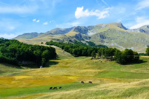
The Žabljak – Šljeme trail is 10.3 km long, with an ascent of 143 m and a descent of 1078 m. It passes through Durmitor National Park and takes about 3 h 55 min.
10.3 km143 m3½–4½ h
View trail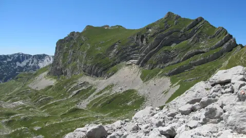
One-way hiking tour from Velika Previja to Bolj is 5.8 km long. With 331 m of total ascent and 484 m of descent, it is demanding and passes through Durmitor National Park.
5.8 km331 m2½–3½ h
View trail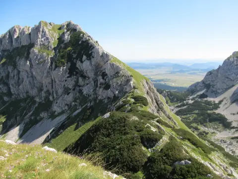
A one-way hiking tour from Crno jezero to Lokvice, 9.6 km long with a total ascent of 933 m. It leads through Durmitor National Park, past the Točak spring, an alpine bivouac, and viewpoints.
9.6 km933 m4½–6½ h
View trail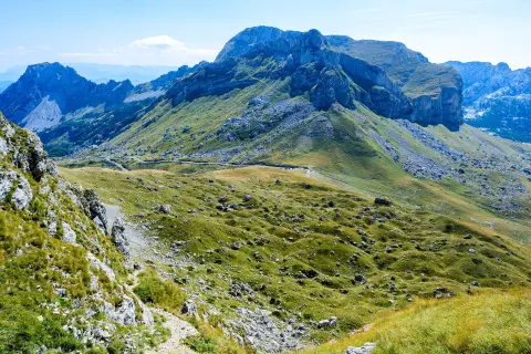
Via ferrata on Uvita greda, about ten minutes' walk from Sedlo, with a view of Bobotov Kuk, Šljeme and Stožina.
View trail
Top Biking Trail 4 – ENDLESS LANDSCAPES is a 413.5 km long, very demanding one-way cycling route. It passes through Durmitor National Park, past Žabljak, Kolašin, Podgorica and Danilovgrad, with 8,566 m of elevation gain.
413 km8,566 m5–8 days
View trail
A demanding one-way cycling route 398,8 km long, with a total ascent of 9352 m. It passes through Biogradska Gora National Park and Durmitor National Park, past Bijelo Polje, Kolašin, Nikšić and Žabljak.
399 km9,352 m5–8 days
View trail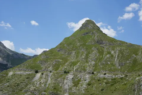
The KR-DU cycling trail is 81.6 km long, with a total ascent of 2135 m and a descent of 2234 m. It passes through Durmitor National Park, along drinking fountains, springs, viewpoints and campsites; the estimated riding time without breaks is around 9 h 40 min.
81.6 km2,135 m8–11½ h
View trail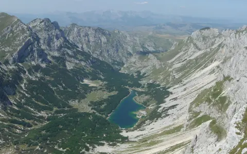
The hiking trail from Žabljak to Šarban via Bobotov kuk is 11.7 km long, with a total ascent of 1090 m and descent of 831 m. It passes through Durmitor National Park and takes approximately 6 h 45 min without breaks.
11.7 km1,090 m5½–8 h
View trailTimes and grades are estimates. Conditions change: check the weather and local information before you set out. Map and data sources →
