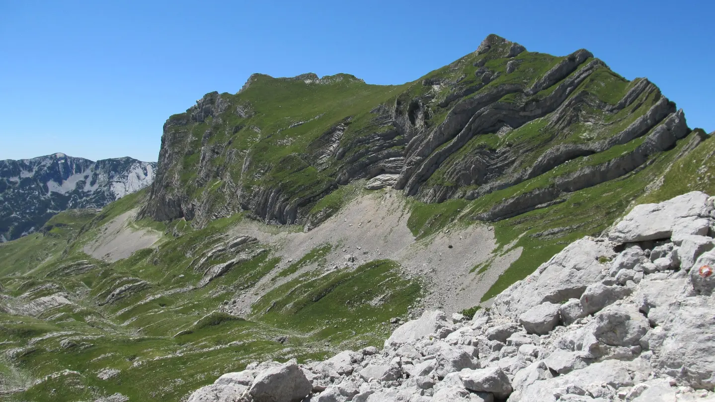
Hiking tour through Durmitor National Park with viewpoints and the Sedlo Pass.
One-way hiking tour from Velika Previja to Bolj is 5.8 km long. With 331 m of total ascent and 484 m of descent, it is demanding and passes through Durmitor National Park.
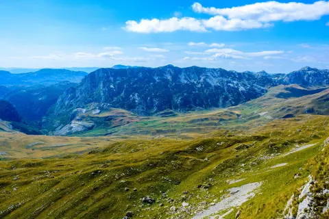
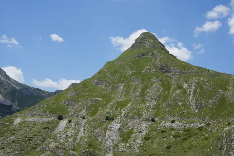
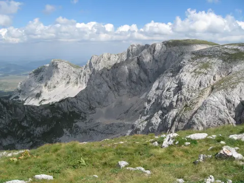
The tour starts at Velika Previja. At the very beginning, near the trail, there is the peak Sedlena greda (2227 m a.s.l.) and a viewpoint at 2213 m a.s.l.; the highest point of the trail is 2214 m a.s.l. The trail then descends towards the Sedlo Pass (1907 m a.s.l.), which is located near the lowest point of the trail (1899 m a.s.l.). From the pass, it continues via viewpoints at 1980 m a.s.l. and 2082 m a.s.l. to the peak Uvita greda (2199 m a.s.l.), and then descends to the end at Bolj.
Total trail length is 5.8 km one way. Total ascent is 331 m and total descent is 484 m. The trail has a mostly earth/forest surface (90%), while 10% is gravel. It is marked and has the grade T2 on the SAC hiking scale.
The tour passes through Durmitor National Park along its entire length. Due to the altitude and duration, it is recommended for hikers with appropriate fitness and equipment.
What this difficulty means
Steep, rocky or exposed passages and a long day out. For fit, sure-footed hikers with mountain experience.
Mountain hiking grade SAC T2 (scale T1–T6).
Move along the profile to follow the route on the map; switch on 3D for the terrain.
↑ 331 m · ↓ 484 m · highest point 2,214 m
Along the way
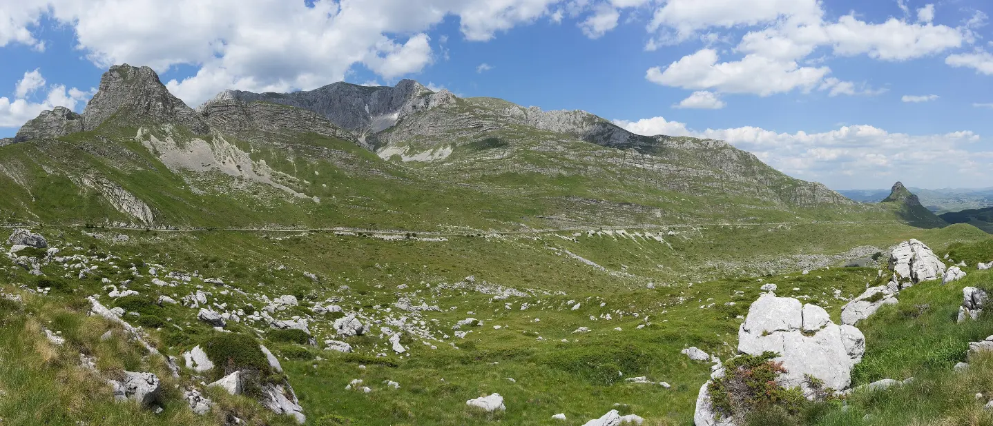
Pass at 2.0 km from the start; it is located near the lowest point of the trail.
Peak at the very beginning of the trail, near Velika Previja.
Peak at 2.7 km from the start, with a viewpoint nearby.
Viewpoints are located at 0.0 km (2213 m a.s.l.), 2.0 km (1907 m a.s.l.), 2.4 km (1980 m a.s.l.) and 2.9 km (2082 m a.s.l.) from the start.
The trail passes through Durmitor National Park along its entire length.
Bring enough water and food.
Wear hiking boots with good soles; the trail is mostly an earth/forest surface.
Check the weather forecast before setting off; mountain weather changes quickly.
Start early, especially in summer, to avoid the heat and afternoon showers.
Bring a map or GPS device.
The trail is a hiking trail at altitudes from 1899 m to 2214 m. The weather can change quickly; in fog or thunderstorms, move away from exposed sections. In case of an accident, call emergency number 112.
Emergency number in Montenegro: 112.
Good to know
Best season
Due to the altitude (1899–2214 m), the most favorable period is usually from July to September, when the trails are generally free of snow. In spring and late autumn, higher sections may have snow and icy patches.
Getting there
The trailhead is at Velika Previja. The nearest place to the trailhead is Crno Jezero (about 7.2 km); Žabljak is about 7.7 km from the trail.
The trail is 5.8 km long one way.
Estimated duration without breaks is 2 h 45 min.
On our scale, the trail is demanding; on the SAC hiking scale, it is rated T2.
The trail is located in Durmitor National Park.
Hiking · Crno Jezero · Durmitor National Park
Cycling · Bijelo Polje · Biogradska Gora National Park
Cycling · Riblje jezero · Durmitor National Park
Cycling · Vražje jezero · Durmitor National Park
Hiking · Vražje jezero · Durmitor National Park
Via ferrata · Crno Jezero · Durmitor National Park
Hiking · Crno Jezero · Durmitor National Park
Climbing · Crno Jezero · Durmitor National Park
Times and grades are estimates. Conditions change: check the weather and local information before you set out. Map and data sources →

