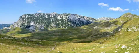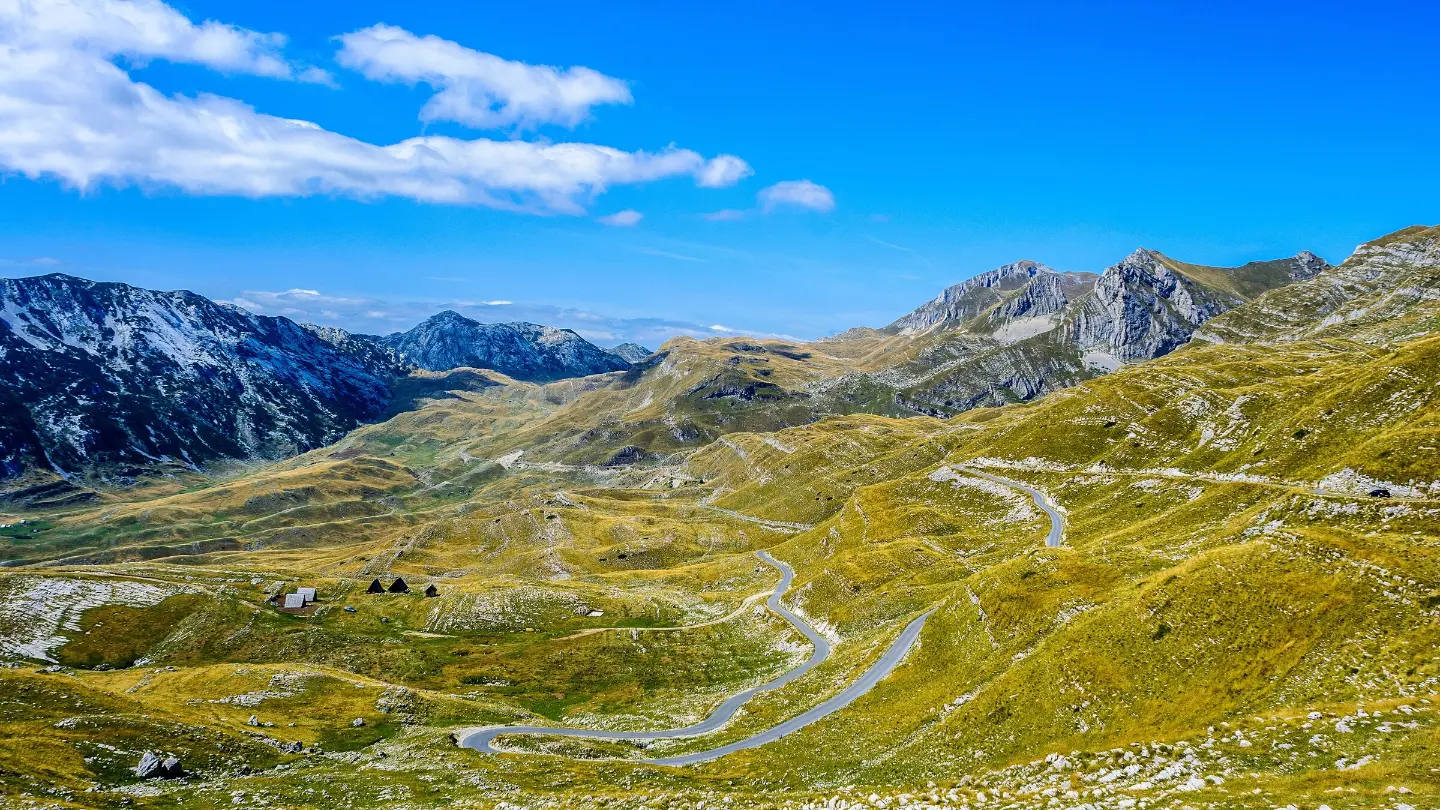
A short, moderate trail to the viewpoint and summit of Sedlena greda in Durmitor National Park.
A short hiking tour from the Sedlo pass to the viewpoint and summit of Sedlena greda in Durmitor National Park. The trail is 1.8 km long, with an ascent of 341 m and an estimated duration of 2 h 30 min.
The Sedlo – Sedlena greda trail is an out-and-back route 1.8 km long. It begins at the Sedlo pass at 1,907 m a.s.l. and climbs a total ascent of 341 m to the highest point at 2,214 m a.s.l. The surface is an earth/forest trail, so good footwear makes walking safer.
After approximately 0.7 km the trail passes by the Zupci summit at 2,148 m a.s.l. The final section leads to the viewpoint at 2,213 m a.s.l. and the summit of Sedlena greda at 2,227 m a.s.l. From the higher section there are views over the surrounding areas of Durmitor National Park.
The tour is of moderate difficulty and takes around 2 h 30 min without breaks. It is suitable for hikers with basic experience and good fitness. Due to the altitude, you should be prepared for rapid weather changes.
What this difficulty means
Longer or steeper sections and uneven ground. You need basic fitness, sturdy shoes and a little mountain experience.
Mountain hiking grade SAC T2 (scale T1–T6).
Move along the profile to follow the route on the map; switch on 3D for the terrain.
↑ 341 m · ↓ 41 m · highest point 2,214 m
Along the way
Photos and short clips from points along the route – tap one to open it.
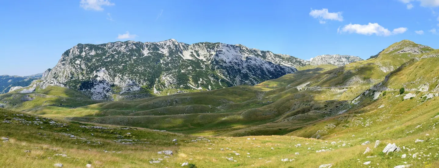
The starting point of the trail at 1,907 m a.s.l. and the first viewpoint.
Located at 2,148 m a.s.l., about 0.7 km from the start of the trail.
The final viewpoint near the end of the trail with a view of the surrounding area.
The summit at 2,227 m a.s.l. at the end of the trail.
Wear hiking boots as the trail is an earth/forest path.
Bring enough water for the entire tour.
Check the weather forecast before setting off; at this altitude weather changes quickly.
Start early, especially in the summer months, to avoid afternoon showers.
Bring layered clothing and wind protection.
The trail runs at an altitude between 1,906 and 2,214 m, so you should expect rapid weather changes. Do not continue your ascent in case of fog or thunderstorms. The emergency number in Montenegro is 112.
Emergency number in Montenegro: 112.
Good to know
Best season
The best period for this tour is from June to October. Conditions on the trail are usually most favourable then, but even so you should be prepared for mountain weather.
Getting there
The nearest point to the start of the trail at the Sedlo pass is Crno Jezero, about 6.3 km away. Žabljak is approximately 8.6 km from the trail.
The trail is 1.8 km long and follows the same path out and back.
The estimated duration is 2 h 30 min without breaks.
The difficulty is moderate, rated T2 on the SAC scale.
The best months are June, July, August, September and October.
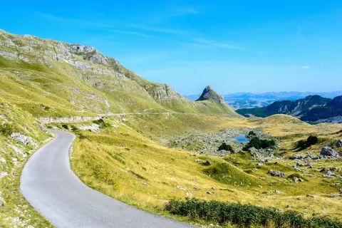
Cycling · Riblje jezero · Durmitor National Park
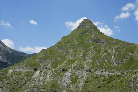
Cycling · Bijelo Polje · Durmitor National Park
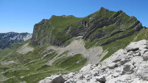
Cycling · Vražje jezero · Durmitor National Park
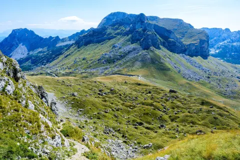
Hiking · Crno Jezero · Durmitor National Park
Via ferrata · Crno Jezero · Durmitor National Park
Hiking · Vražje jezero · Durmitor National Park
Climbing · Crno Jezero · Durmitor National Park
Hiking · Crno Jezero · Durmitor National Park
Times and grades are estimates. Conditions change: check the weather and local information before you set out. Map and data sources →