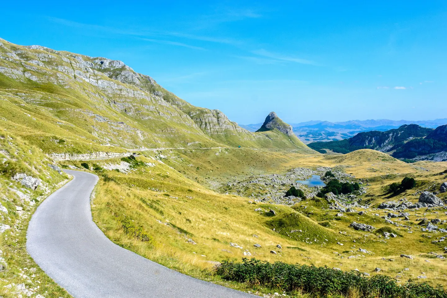
A multi-day cycling tour through Durmitor National Park, past lakes and Montenegrin towns.
Top Biking Trail 4 – ENDLESS LANDSCAPES is a 413.5 km long, very demanding one-way cycling route. It passes through Durmitor National Park, past Žabljak, Kolašin, Podgorica and Danilovgrad, with 8,566 m of elevation gain.
Top Biking Trail 4 – ENDLESS LANDSCAPES is a multi-day, one-way cycling tour, 413.5 km long. Surface breakdown: asphalt/concrete 68%, gravel 27%, dirt/forest track 6%. Total elevation gain is 8,566 m and total descent is 8,565 m. The lowest point is at 25 m above sea level and the highest at 1,908 m above sea level. Estimated riding time without breaks is 44 h 40 min.
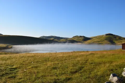
The trail passes through Durmitor National Park and past Žabljak, Kolašin, Podgorica and Danilovgrad. It also passes by Rikavačko Lake; nearby are Riblje Lake, Crno Lake, Bukumirsko Lake and Šavnik. The terrain varies from mountain passes to lowlands, with a mixed surface.
Along the route there are the peaks Kraguljac, Mala Đebeza and Kulina, several viewpoints, a mountain hut/shelter, as well as numerous drinking fountains and springs. Due to its length, significant elevation gain and mixed surface, the trail is very demanding and intended for experienced cyclists.
What this difficulty means
Very long, very steep or technical riding. For strong riders with good bike handling and self-sufficiency.
Move along the profile to follow the route on the map; switch on 3D for the terrain.
↑ 8,566 m · ↓ 8,565 m · highest point 1,908 m
Along the way
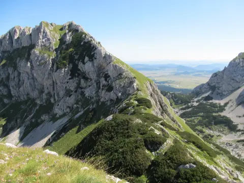
The trail is located in Durmitor National Park and passes through mountain terrain with open views.
The closest point to the start of the trail; approximately 3.3 km away.
The trail passes by Žabljak, only 0.1 km from the town.
The trail passes directly by Kolašin.
Along the route are the peaks Kraguljac, Mala Đebeza and Kulina, and several viewpoints up to 1,814 m above sea level.
Carry enough water and make use of the drinking fountains and springs along the route.
Check the weather forecast; at elevations of up to 1,908 m, conditions can change quickly.
Plan multiple stages and arrange accommodation in advance.
Set up your bike for gravel and dirt sections; bring spare tyres and tools.
Set off early, especially in the mountain sections.
Due to the mountain sections and elevations of up to 1,908 m, be cautious of changing weather, fog and thunderstorms. Signal may be weaker in mountainous areas. In case of emergency, call 112.
Emergency number in Montenegro: 112.
Good to know
Best season
Due to the elevation range from 25 m to 1,908 m, it is best to ride from late spring to early autumn, when the mountain passes are accessible and weather conditions are more stable.
Getting there
The start of the trail is about 3.3 km from Riblje Lake. Žabljak is next to the trail (0.1 km) and can serve as a base.
The trail is 413.5 km long.
The estimated duration without breaks is 44 h 40 min. This is a multi-day tour.
The trail is very demanding and intended for experienced cyclists.
Asphalt/concrete 68%, gravel 27%, dirt/forest trail 6%.

406 km↑ 10,191 m6–8 days

399 km↑ 9,352 m5–8 days
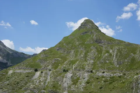
81.6 km↑ 2,135 m8–11½ h
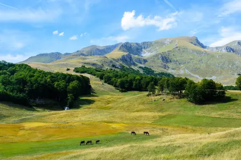
10.3 km↑ 143 m3½–4½ h
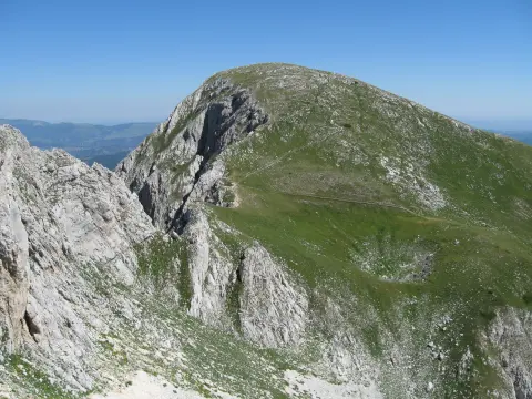
6.7 km↑ 808 m5½–8 h
1.7 km↑ 10 m20–30 min
9.6 km↑ 933 m4½–6½ h
78.8 km↑ 2,501 m3–5 days
Times and grades are estimates. Conditions change: check the weather and local information before you set out.

Ask about Montenegro
Ask me about destinations, restaurants or activities.
