Mountains
Guided canyoning
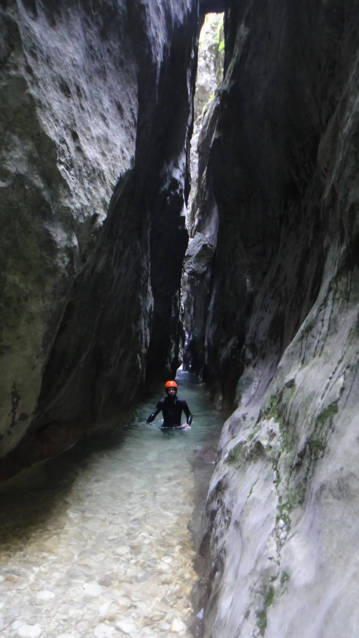
About four hours of swimming, jumps and descents through the canyon, in a wetsuit and helmet.
Canyoning through the gorge of the Komarnica
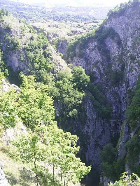
Nevidio is the narrowest part of the Komarnica river canyon, below Durmitor and Vojnik, near the village of Pošćenje in Šavnik municipality.
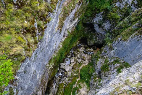
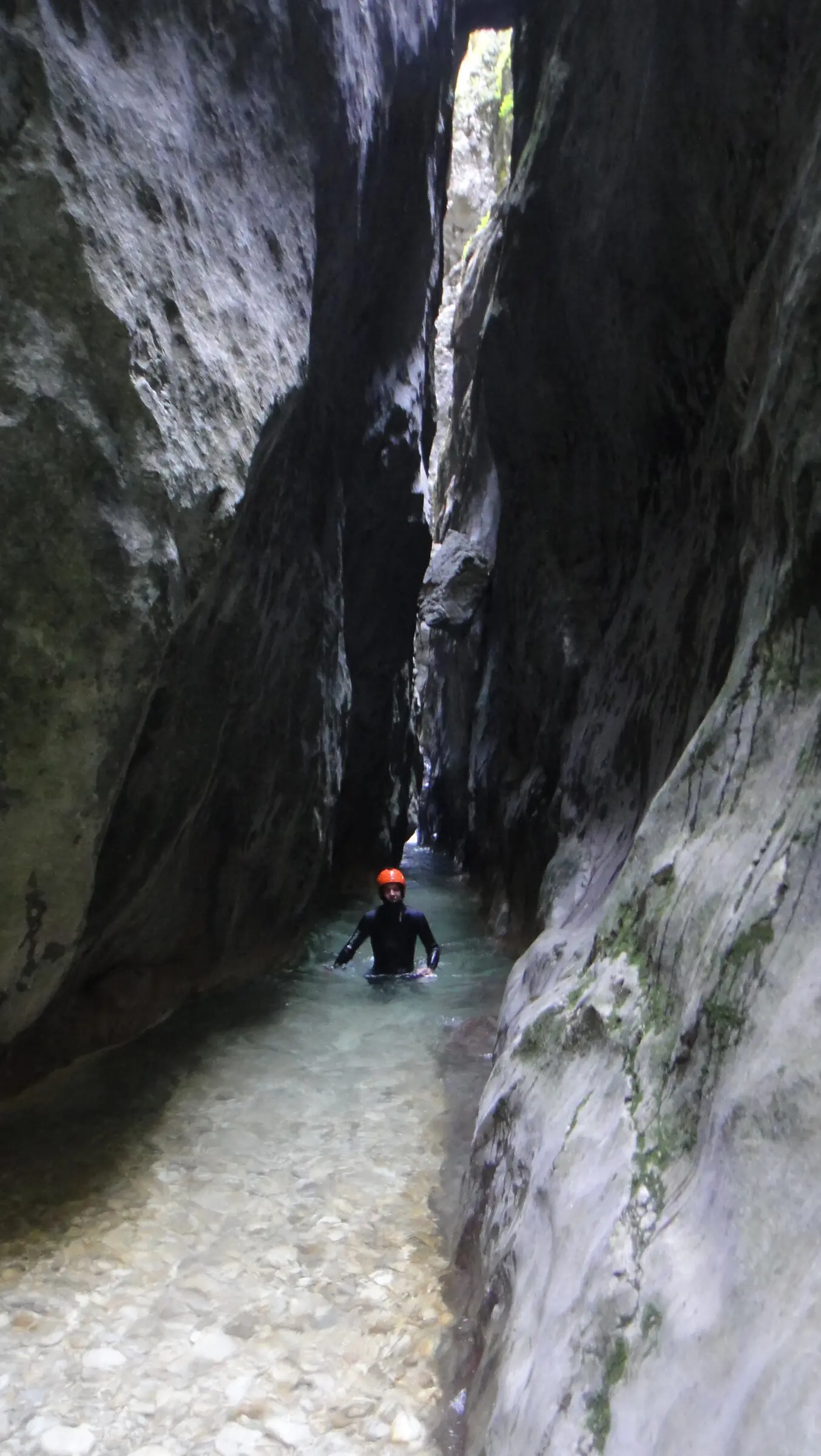
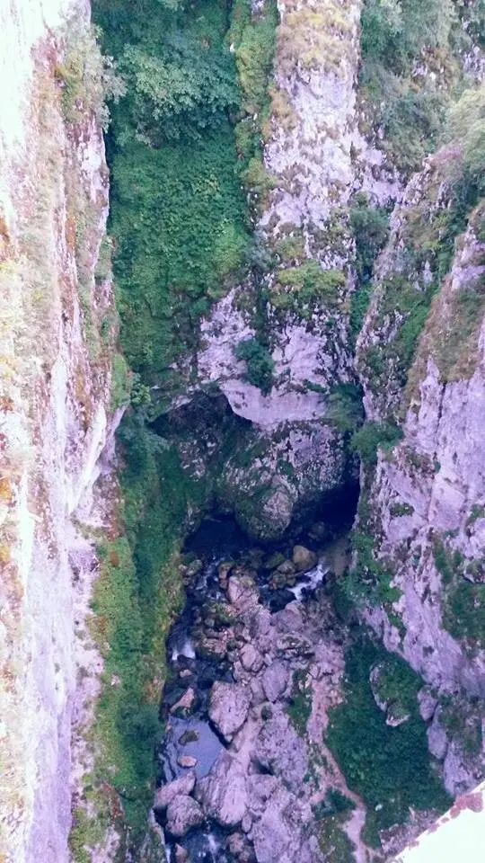
Its name means "unseen": near the village of Komarnica the river suddenly disappears into a gorge and can no longer be seen. The canyon is about 3.5 km long, and a guided descent takes around four hours: swimming in cold water, jumping into pools, sliding down rock chutes and squeezing through the Kamikaze Gate, in places only 25 cm wide. It was first passed in 1965 by members of the Javorak mountaineering club from Nikšić.
Highlights
The most demanding section of the canyon is about 80 metres long and in places only 25 centimetres wide. The walls almost close above the water, so you get through by squeezing, swimming and careful downclimbing. The guides take the group through it step by step.
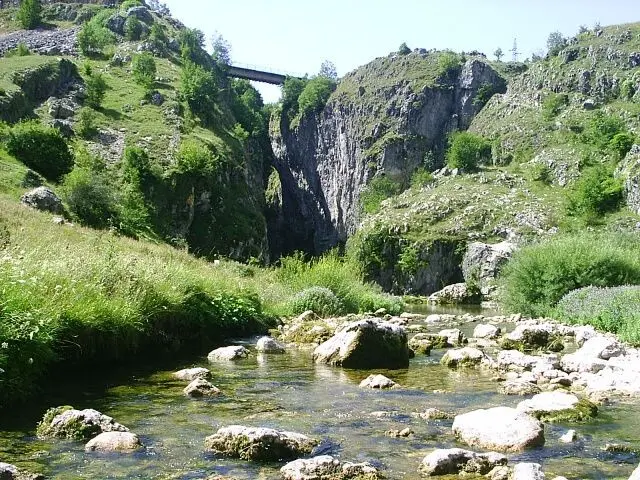
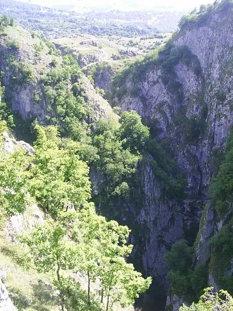
From the Nevidio ethno village and the Jatak restaurant in Pošćenje a track leads about a kilometre to the canyon entrance. Right above it is a small bridge from which you can see the Komarnica disappear into the gorge – hence the name Nevidio, "unseen". You can walk to the bridge even if you are not going into the canyon.
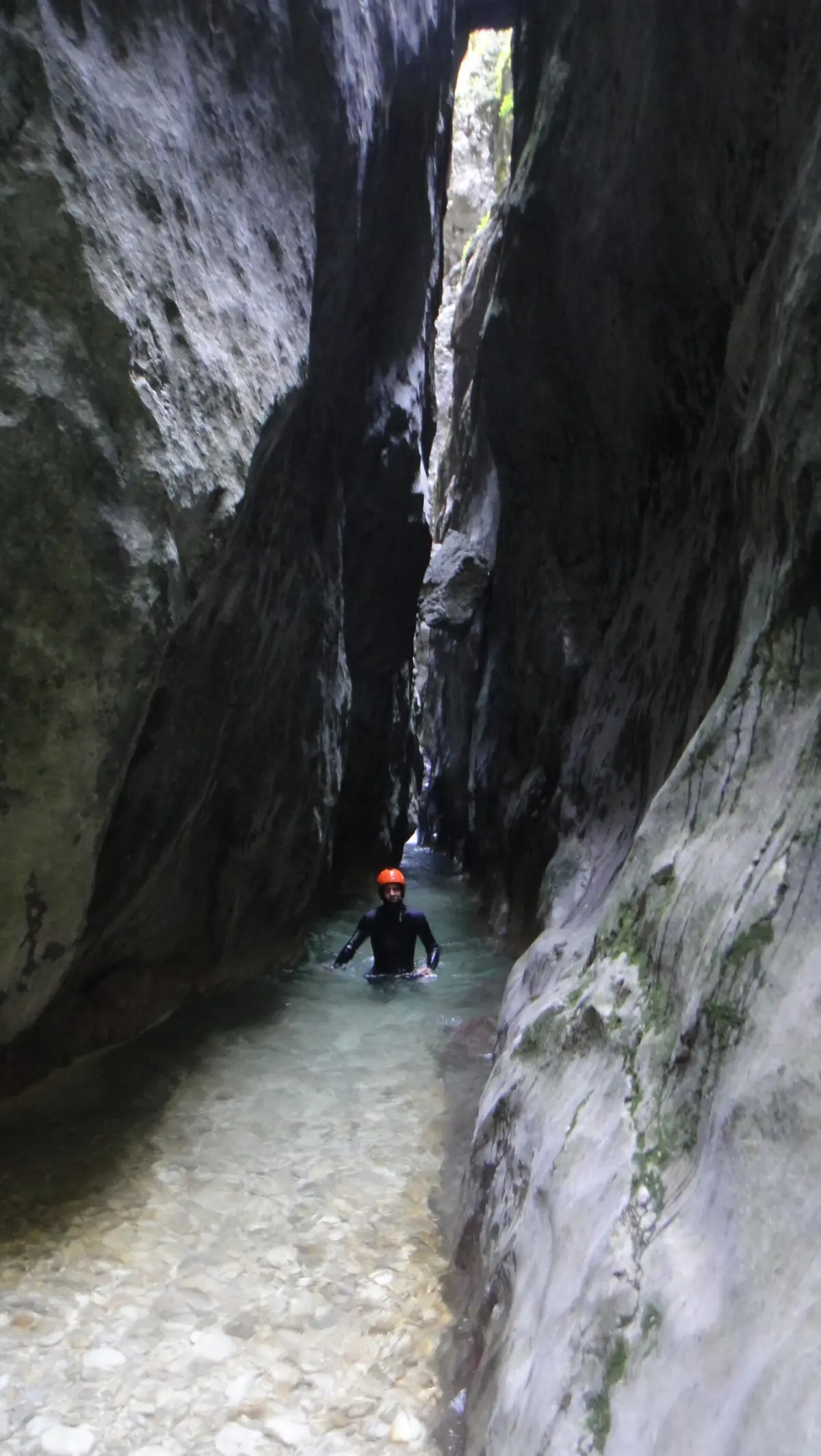
You get through the canyon by swimming, wading, jumping into pools and sliding down smooth rock chutes. The highest drop is about 10 metres. At each obstacle the guides decide whether to jump or go around it, depending on the water level and the group's experience.
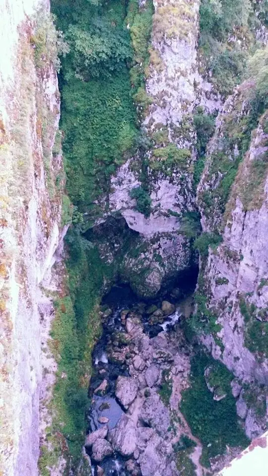
Nevidio stayed impassable for a long time. It was first passed in 1965 by members of the Javorak mountaineering club from Nikšić, which is why it is called the last conquered canyon in Europe. Today, with gear and guides, it is done by reasonably fit amateurs too.
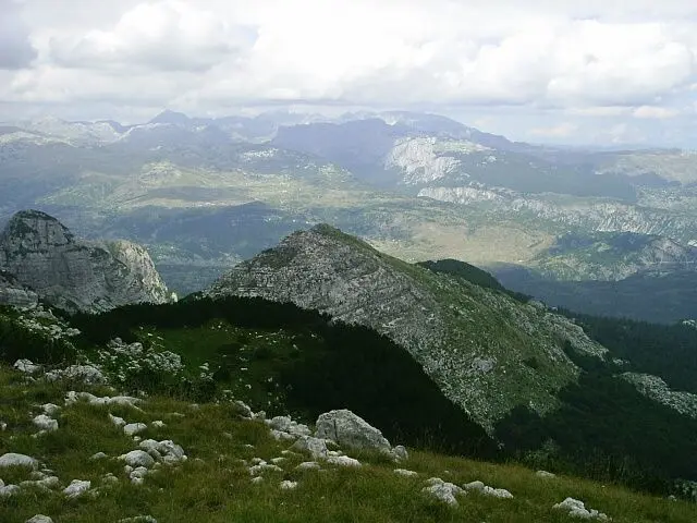
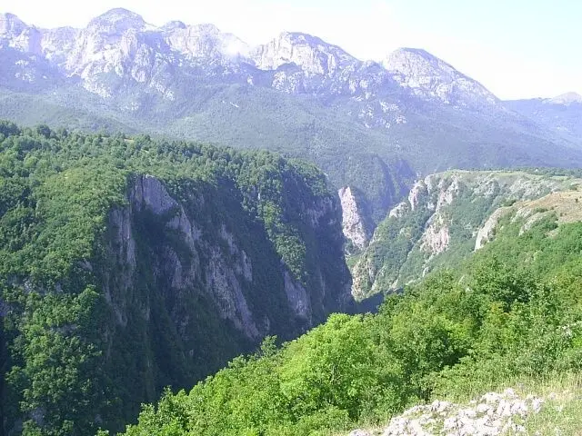
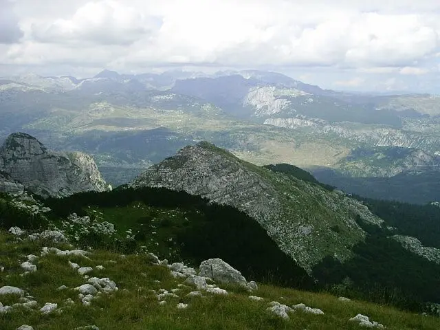
Nevidio is the narrowest part of the long canyon of the Komarnica river, which rises below Durmitor. The way out of Nevidio leads through the forests of the Dragišnica and Komarnica Nature Park, so the trip ends with a gentler walk. In spring the seasonal Skakavica waterfall appears above Pošćenje, on the Grabovica stream, a tributary of the Komarnica.
What to do
Mountains
About four hours of swimming, jumps and descents through the canyon, in a wetsuit and helmet.
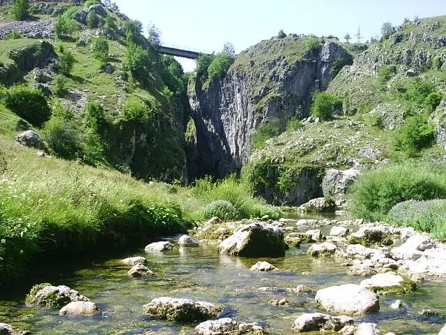
A short walk from Pošćenje to the bridge above the canyon entrance.
Mountains
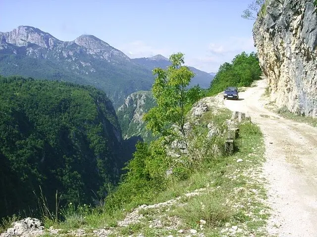
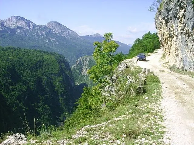
The road through the Komarnica canyon, cut into the rock, with views of Vojnik.
Hiking, walking and cycling routes that start here or pass nearby, with maps and GPX downloads.

Top Biking Trail 4 – ENDLESS LANDSCAPES is a 413.5 km long, very demanding one-way cycling route. It passes through Durmitor National Park, past Žabljak, Kolašin, Podgorica and Danilovgrad, with 8,566 m of elevation gain.
413 km8,566 m5–8 days
View trail
A demanding one-way cycling route 398,8 km long, with a total ascent of 9352 m. It passes through Biogradska Gora National Park and Durmitor National Park, past Bijelo Polje, Kolašin, Nikšić and Žabljak.
399 km9,352 m5–8 days
View trail
Top Biking Trail 1 – SALTY AND SWEET is a very demanding one-way cycling route 406.3 km long. It passes by Perast and Dobrota and through Lovćen National Park and Durmitor National Park.
406 km10,191 m6–8 days
View trail
The KR-DU cycling trail is 81.6 km long, with a total ascent of 2135 m and a descent of 2234 m. It passes through Durmitor National Park, along drinking fountains, springs, viewpoints and campsites; the estimated riding time without breaks is around 9 h 40 min.
81.6 km2,135 m8–11½ h
View trailA circular hiking trail 4.2 km long with 91 m of ascent and descent. It leads through the forested terrain of Durmitor National Park, past several springs. Estimated duration without breaks is 1 h 20 min.
4.2 km91 m70–95 minLoop
View trail
One-way hiking tour from Velika Previja to Bolj is 5.8 km long. With 331 m of total ascent and 484 m of descent, it is demanding and passes through Durmitor National Park.
5.8 km331 m2½–3½ h
View trail
A short hiking tour from the Sedlo pass to the viewpoint and summit of Sedlena greda in Durmitor National Park. The trail is 1.8 km long, with an ascent of 341 m and an estimated duration of 2 h 30 min.
1.8 km341 m2–3 h
View trail
An easy hiking trail between Vražje jezero and Riblje jezero. It is 1.7 km long, goes in one direction, with a gentle ascent of 10 m and takes about 25 min without breaks.
1.7 km10 m20–30 min
View trailGallery
Plan Your Visit
Phone
112 (emergency); Mountain Rescue Service +382 40 256 084
Trips run seasonally, when the water level is low – check dates and departures with an agency or at the Nevidio ethno village in Pošćenje.
The canyon can only be done on an organised trip; check the price and what is included (gear, transport, meals) with the agency.
Parking is at the Jatak restaurant and the Nevidio ethno village in Pošćenje; campervans and larger vehicles stay there.
The canyon is not suitable for people with reduced mobility: it involves swimming, jumps and moving over slippery rock. The bridge above the entrance can be reached on a short walk.
FAQ
Around here