

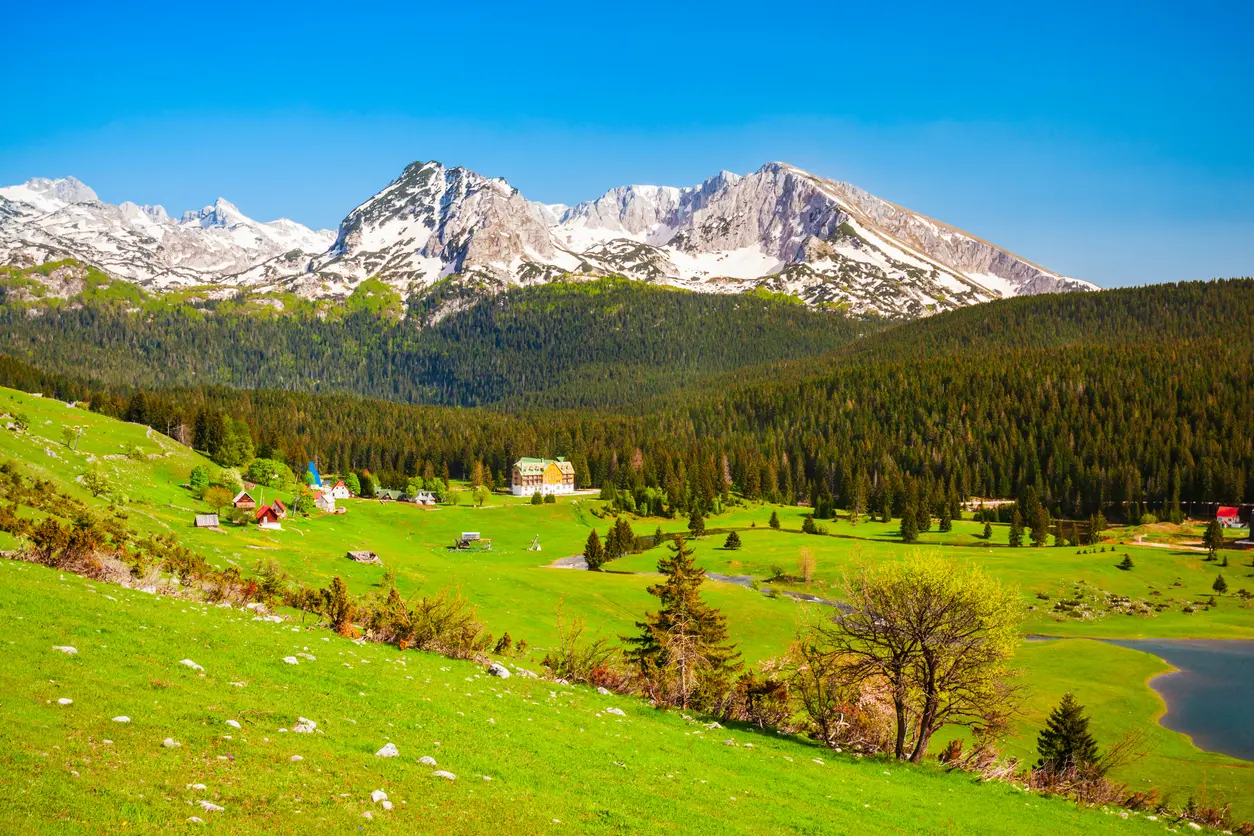
Žabljak
Base for Bobotov Kuk, Black Lake, the Škrka lakes and Savin Kuk.
Marked trails from Bobotov Kuk and Zla Kolata to Komovi, Bjelasica, Orjen and Lovćen
Montenegro has about 3,000 kilometres of hiking trails in its national and local network, about 1,480 kilometres of them maintained and marked for hiking. The best known are Durmitor with Bobotov Kuk and Prokletije with Zla Kolata, the country's highest peak, but Komovi, Bjelasica with Biogradska Gora and the coastal mountains of Orjen, Lovćen and Rumija, with views of the sea, are just as rewarding.
About 1,480 km of marked hiking trails, from Durmitor and Prokletije to Komovi, Bjelasica and the mountains above the sea: where to go, when and what to bring.
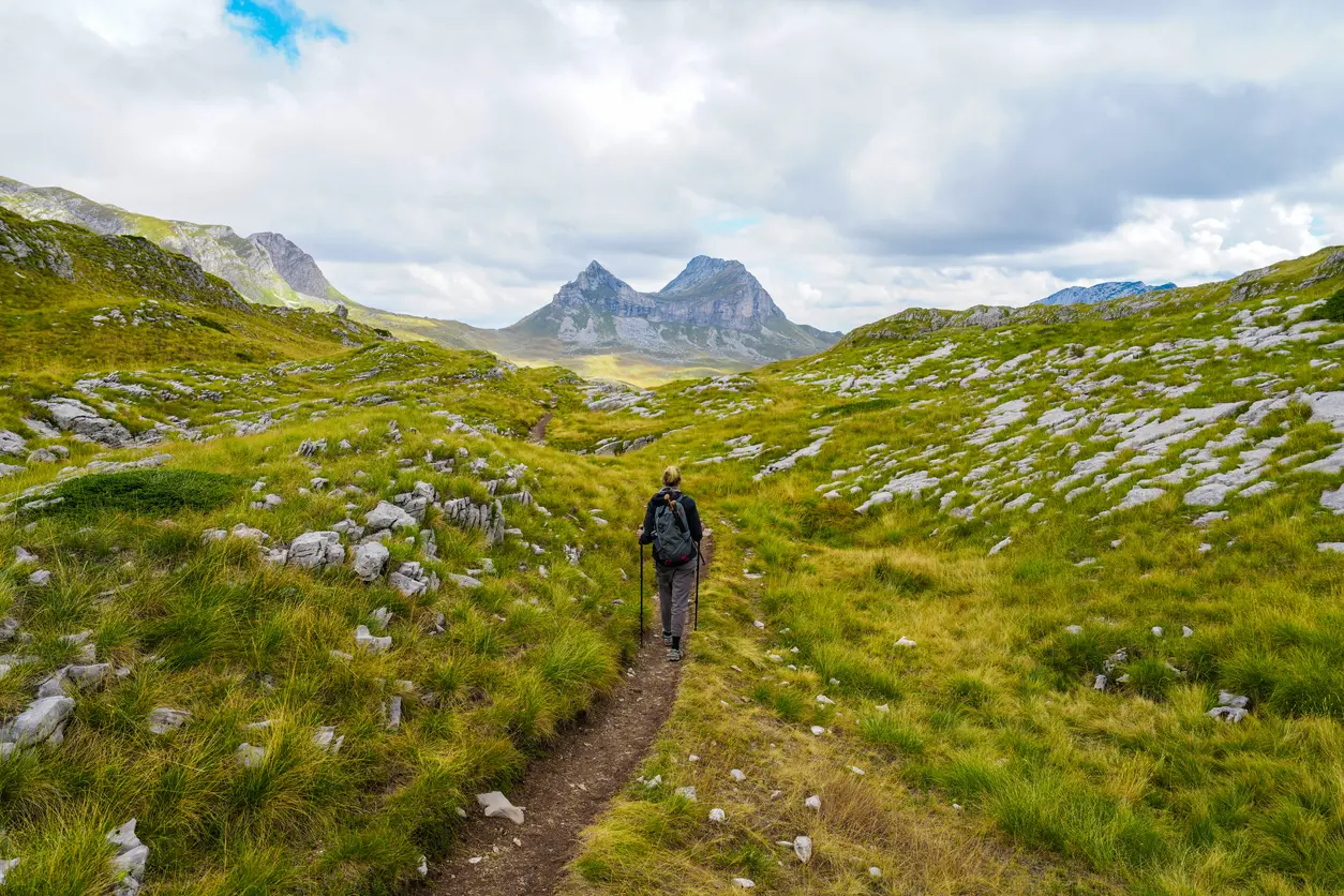
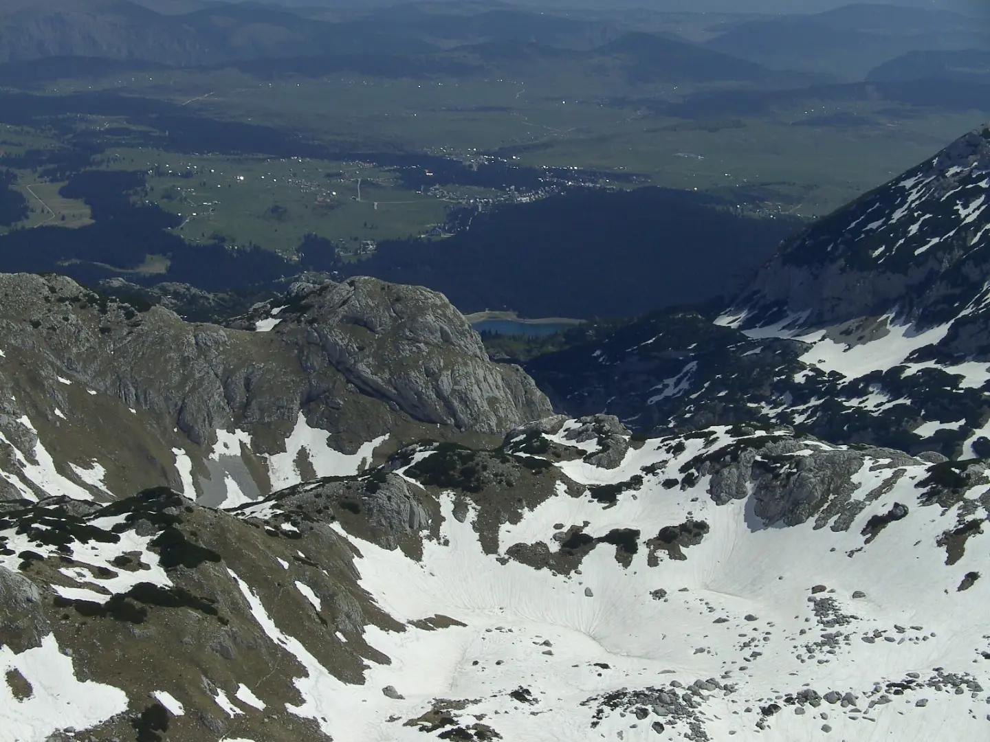
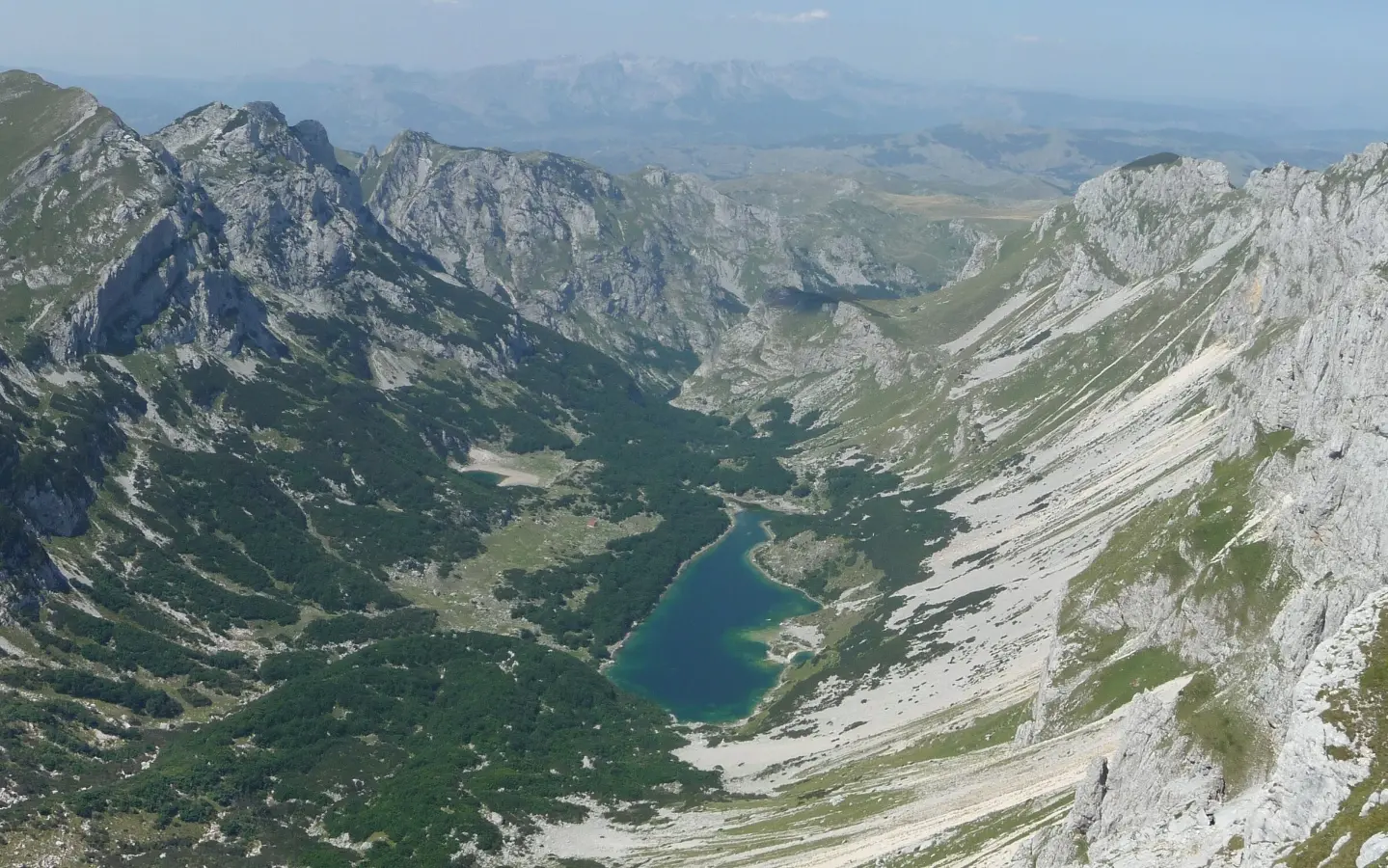
Durmitor has 48 peaks above 2,000 metres, and only one tops 2,500: Bobotov Kuk (2,523 m). The usual ascent starts from the Sedlo pass at 1,907 metres, while from Žabljak you go past Black Lake, as on the Žabljak – Šarban via Bobotov Kuk trail. The last metres are on rock, so take care. Easier walks lead to the Škrka lakes or up Sedlena Greda, and the mountain has 18 lakes, known as its "mountain eyes". For an easier day there is also the "Jezero" loop below Stožina, 6.2 kilometres and about three hours on foot.
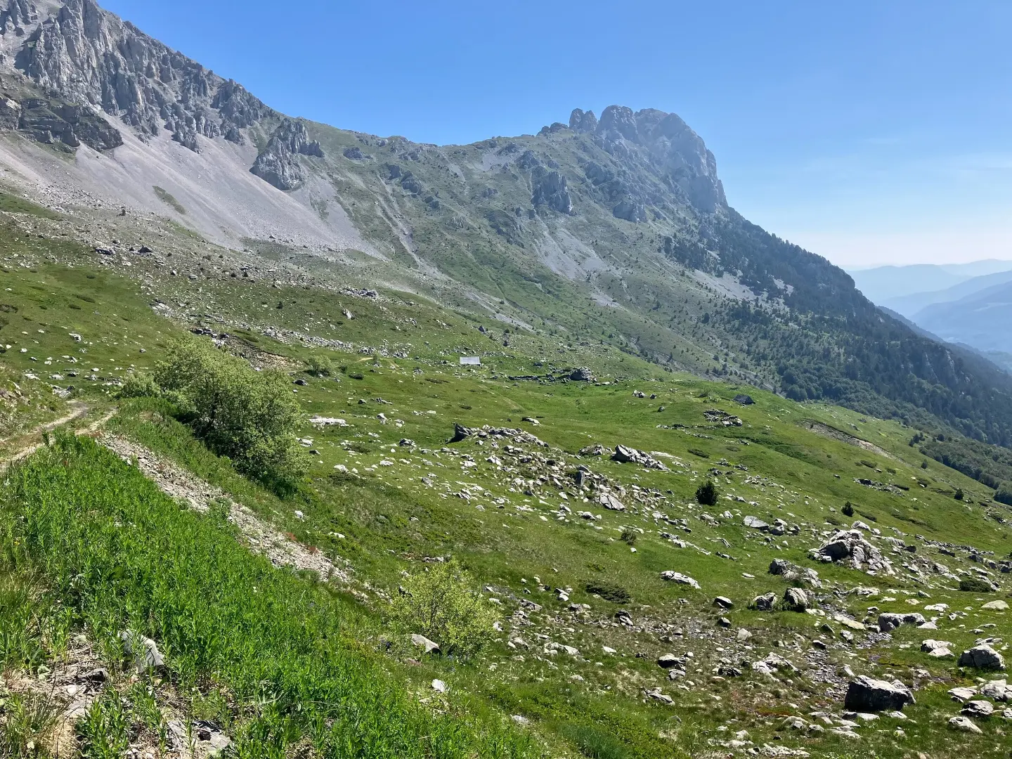
Montenegro's highest peak is Zla Kolata (2,534 m), on the Albanian border. The climb from Vusanje starts at about 980 metres: it is not technically difficult, but it is long, with little water, and needs settled weather. Plav and Gusinje are also on the waymarked Peaks of the Balkans trail, 192 kilometres through Montenegro, Albania and Kosovo. The Montenegrin part, about a third of the trail, passes Plav Lake and Hrid Lake and runs through the Ropojana and Babino Polje valleys.
Did you know?
Komovi once shared a single name, Kom, and in 1878 a tribal division of the pastures split it into Kučki, Vasojevićki and Ljevorečki Kom.
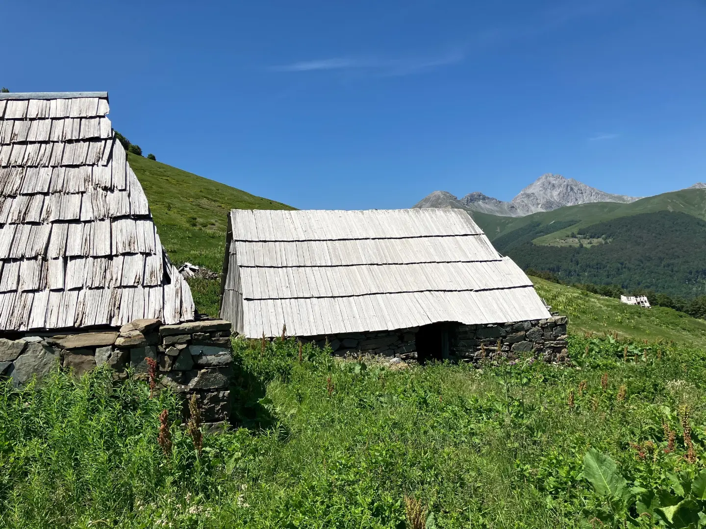
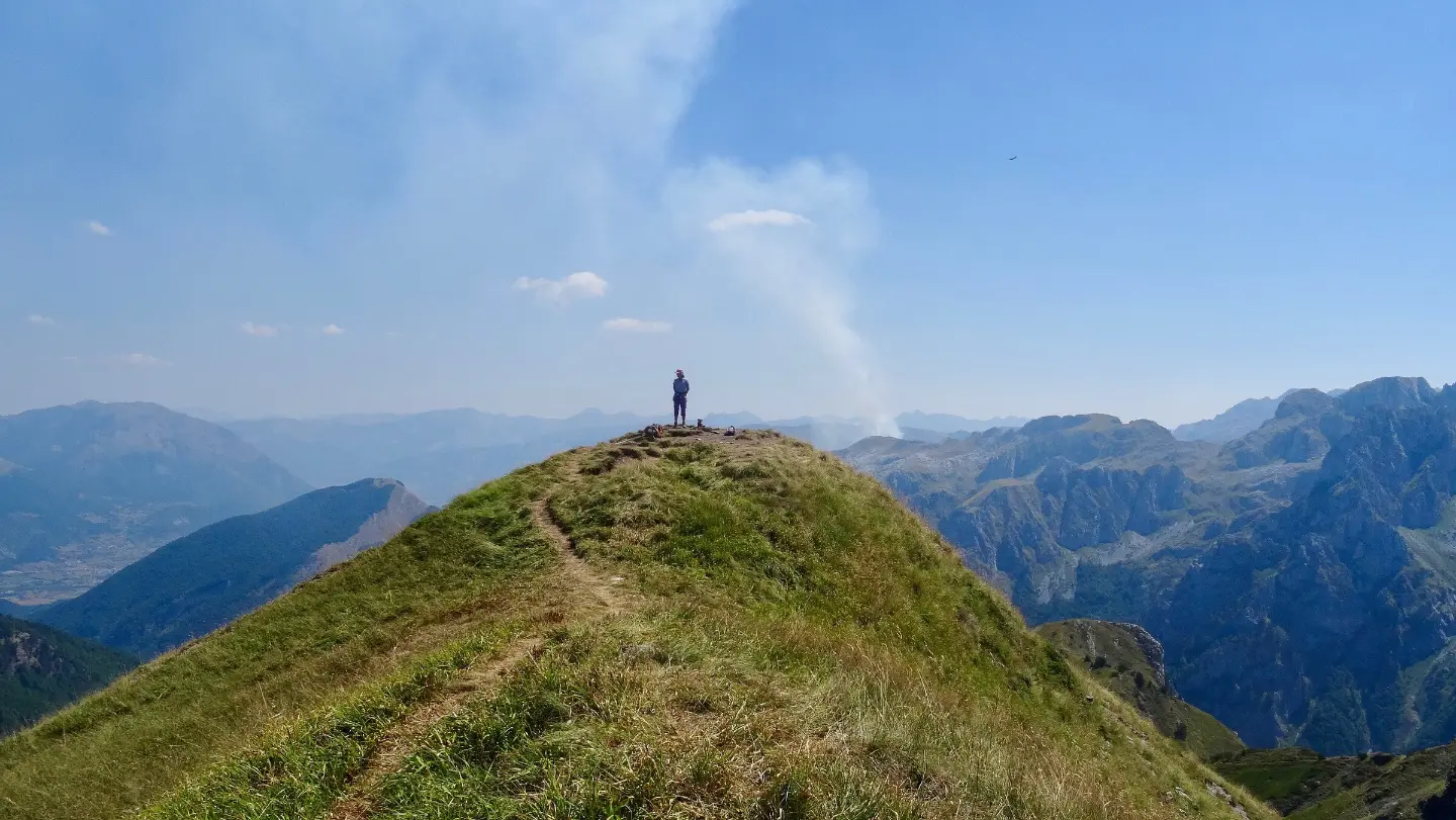
Komovi is climbed from the Štavna shepherds' settlement (katun), reached over the Trešnjevik pass. The highest summit is Kučki Kom (2,487 m), and local hikers also recommend the full-day loop around Komovi. Bjelasica has six glacial lakes and gentle ridges up to Crna Glava (2,139 m). At its heart lies Biogradska Gora National Park, with a 1,600-hectare old-growth forest reserve and trees over 40 metres tall; an easy nature trail circles Biogradsko Lake.
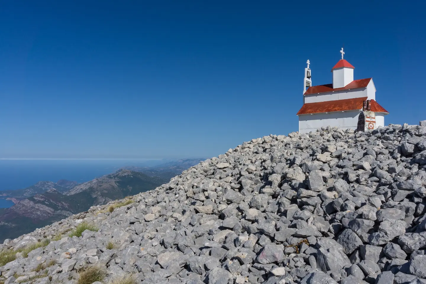
Orjen, Lovćen and Rumija are linked by the Coastal Hiking Transversal. On Orjen rises Zubački Kabao (1,894 m); on Lovćen you climb to Jezerski Vrh and Njegoš's mausoleum at 1,657 metres; and from Kotor the old caravan route, the Ladder of Kotor, climbs to Krstac. Rumija is climbed from Stari Bar. These mountains are at their best in spring and autumn, away from the summer heat.
From Bobotov Kuk to Zla Kolata, the country's highest peak
About 1,480 km of marked trails through five national parks, shepherds' settlements and glacial lakes.
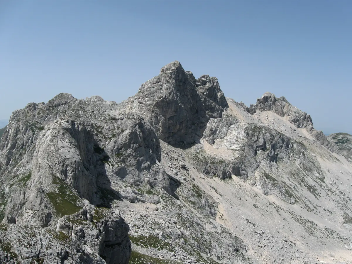
Durmitor's highest peak (2,523 m). The shortest approach is from the Sedlo pass, and the last part of the climb is on rock.
Read more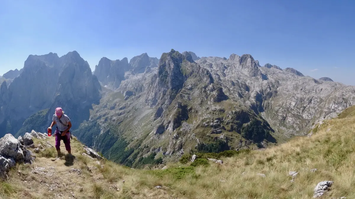
Zla Kolata (2,534 m), Montenegro's highest peak, the Grebaje and Ropojana valleys and the Montenegrin part of the Peaks of the Balkans.
Read more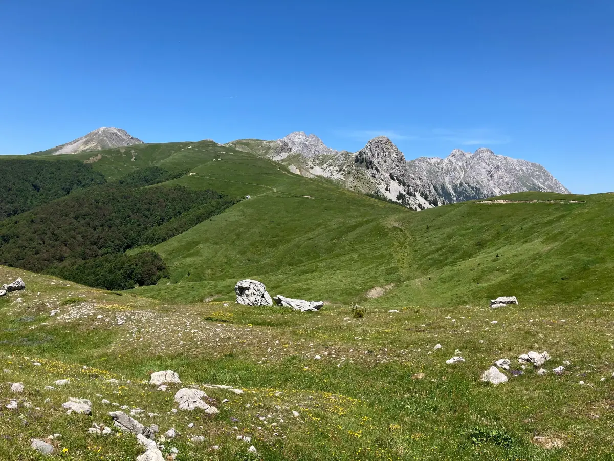
Three summits above the Štavna and Carine katuns; the highest is Kučki Kom (2,487 m), and a full-day loop circles the massif.
Read more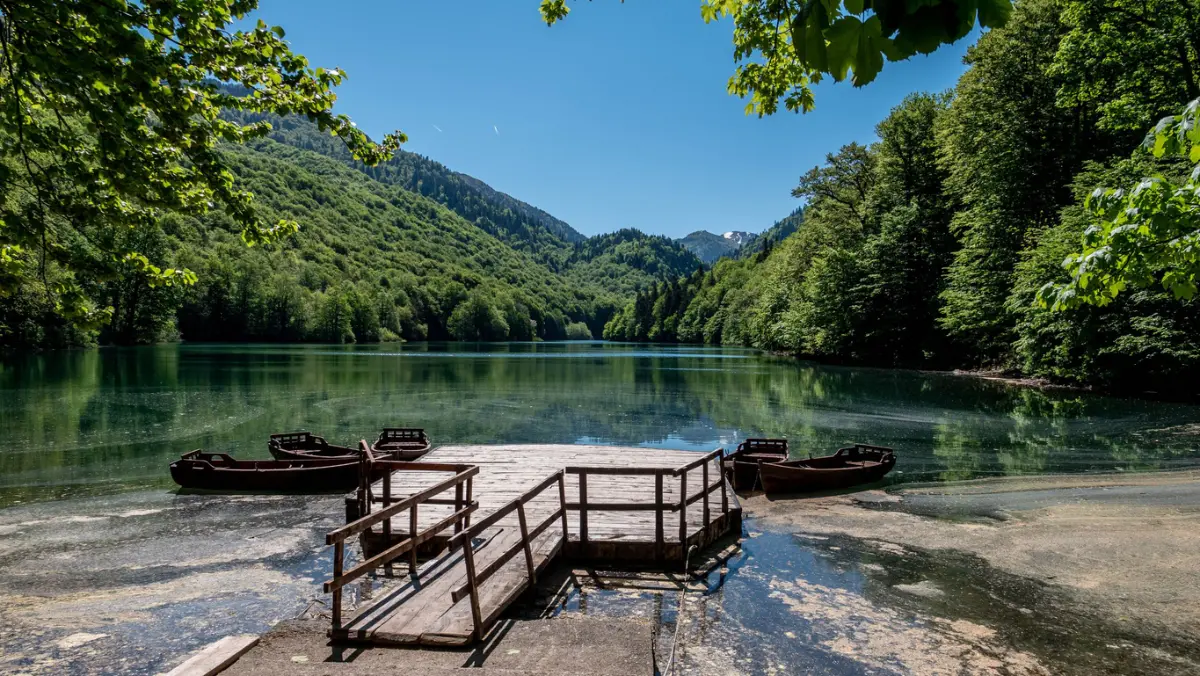
A national park on Bjelasica since 1952, with a 1,600 ha old-growth reserve and an easy trail around Biogradsko Lake.
Read moreDurmitor National Park
Base for Bobotov Kuk, Black Lake, the Škrka lakes and Savin Kuk.
Prokletije National Park
Starting point for Grebaje and Vusanje, the climb to Zla Kolata and sections of the Peaks of the Balkans.
Komovi
The nearest town to Trešnjevik and the Štavna katun, the starting point for Komovi.
Bjelasica and Biogradska Gora
Starting point for Crna Glava, Biogradsko Lake and walks on Bjelasica.
Cetinje and Kotor
Jezerski Vrh with Njegoš's mausoleum, Ivanova Korita and trails down to Kotor.
Bay of Kotor
Start of the Ladder of Kotor, the old path from Kotor up to Krstac and Lovćen.
Orjen, Lovćen, Rumija
The coastal mountains and trails above the bay, before the summer heat.
Žabljak and Plav
Durmitor Trail Run at Black Lake; Blueberry Days in Plav, with hikes in Prokletije.
Bjelasica
Bjelasica Trail races through Bjelasica and Biogradska Gora; the peak of the high-mountain season.
Prokletije and Durmitor
Prokletije Trail in September; more settled weather and autumn colours, but shorter days.
Trails are marked with a red circle and a white dot, and the direction with red or red-and-white stripes. Yellow signposts stand at major junctions.
Drinking water is not available everywhere, and some sections have no accommodation. For Zla Kolata, carry water for the whole day.
Fog and summer storms build quickly in the high mountains. Set off early and turn back from the summit if the weather turns.
The Mountain Rescue Service of Montenegro can be reached via 112. Before a demanding hike, tell someone where you are going.
For Komovi, Prokletije and multi-day sections of the Peaks of the Balkans, local mountain guides know the exposed spots and trail conditions.
Routes, lengths and climbing for every trail are on our hiking trails page; an offline map on your phone is a must because signal drops out.
FAQ
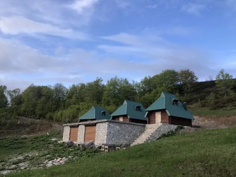 Katun
Kolašin
from €40 / nightindicative price
Ask the host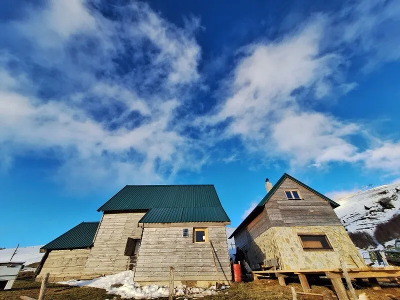 Katun
Kolašin
from €40 / nightindicative price
Ask the host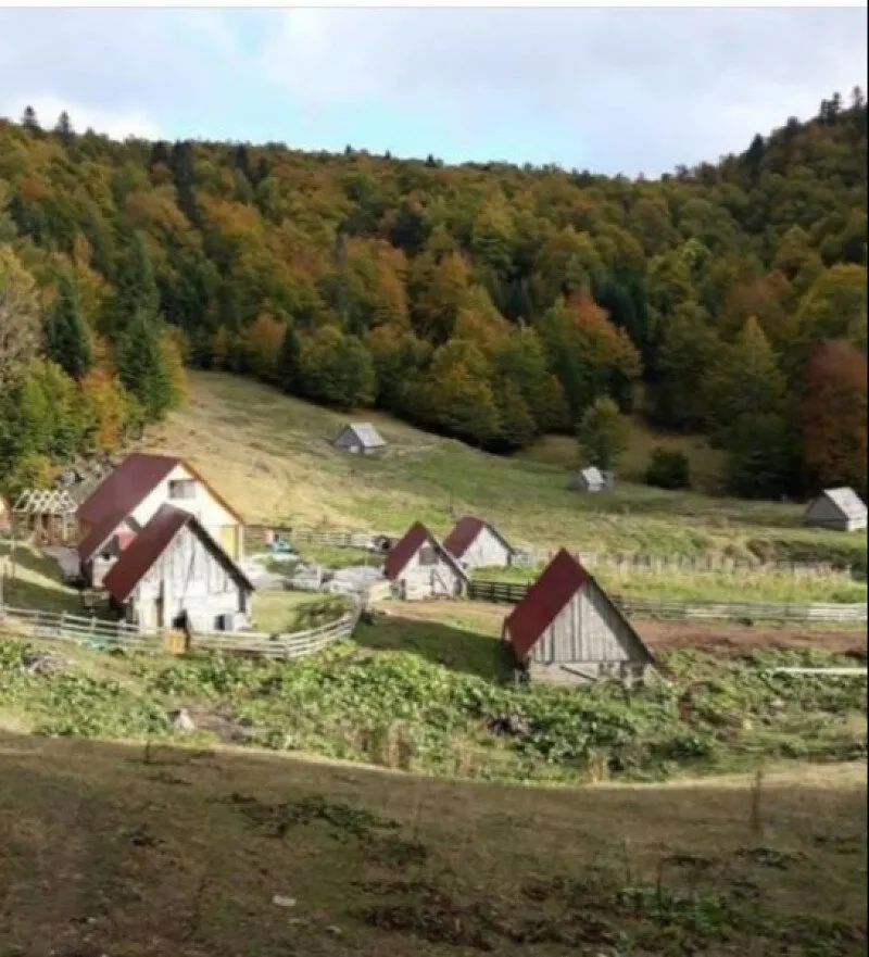 Katun
Kolašin
Price on request
Ask the host Katun
Kolašin
from €40 / nightindicative price
Ask the host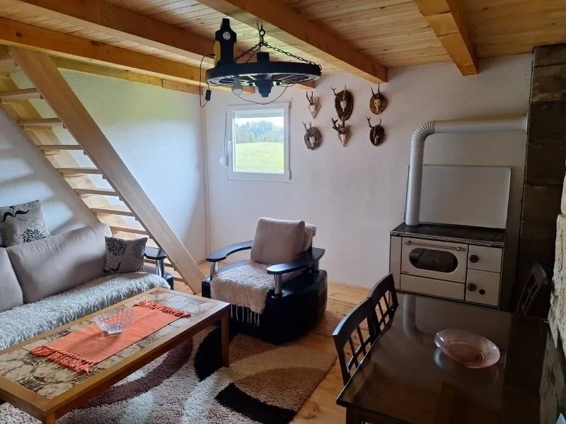 Katun
Berane
from €21 / nightindicative price
Ask the host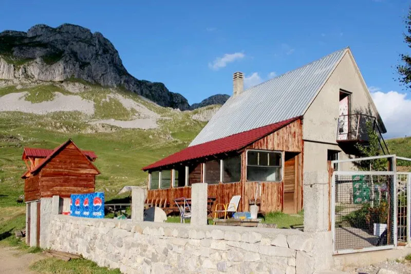 Katun
Kolašin
Price on request
Ask the hostOffers come live from the Travel to Montenegro booking platform. Requests are confirmed by the host; nothing is charged online.
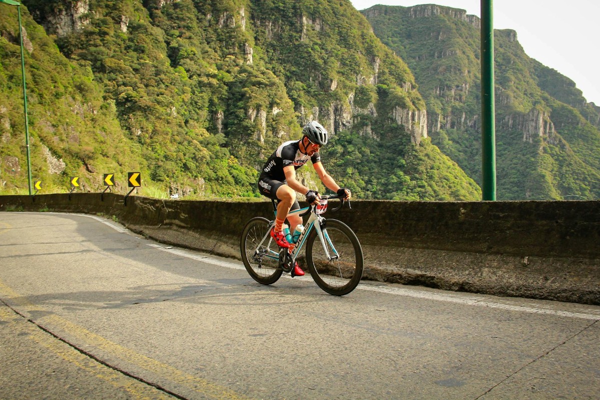
Five national Top Biking Trail routes, EuroVelo 8 along the coast, the Durmitor Ring over the Sedlo pass and easy trails around Lake Skadar: how to plan a bike trip through Montenegro.
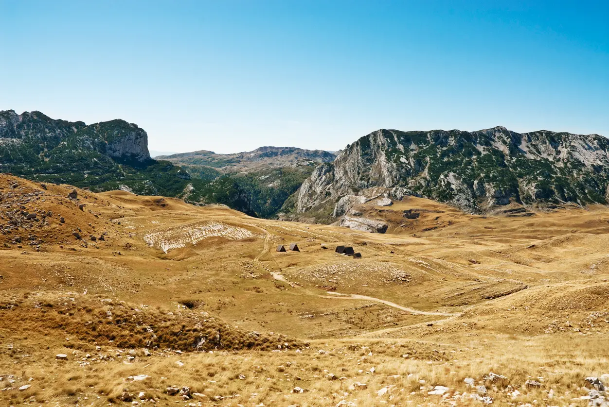
Katuns are herders' summer settlements on high pastures. How people live there, a map of katuns you can visit, trails to them and where to stay.
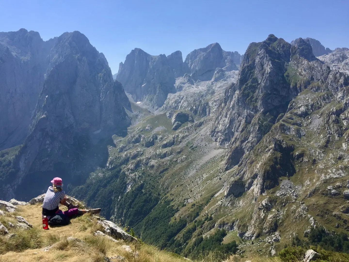
In Montenegro, you'll recognize a tourist guide by the credentials issued by the Ministry of Tourism, which they must wear visibly. For the mountains, choose a guide licensed by the Mountaineering Association, and for rafting and canyoning, a company with certified leaders. Guides are recommended by local tourist organizations and national parks.
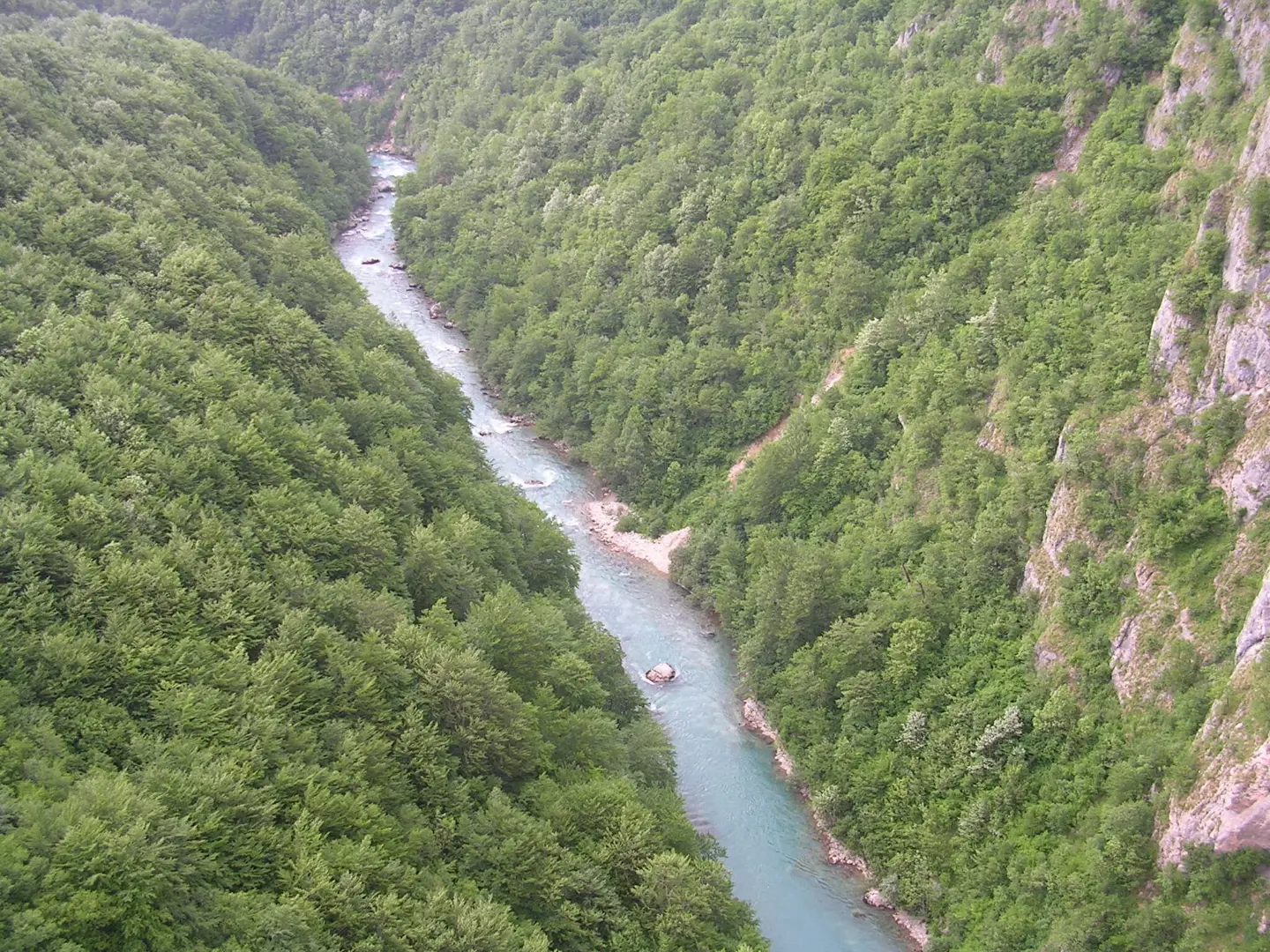
The Tara canyon, up to 1,300 metres deep, Piva with its 220-metre dam, Morača on the road to Kolašin, Mrtvica for walkers and Nevidio for canyoning: a guide to Montenegro's canyons.
Base yourself in the mountains and walk straight from the door.
Base for Bobotov Kuk, Black Lake, the Škrka lakes and Savin Kuk.

Starting point for Grebaje and Vusanje, the climb to Zla Kolata and sections of the Peaks of the Balkans.
The nearest town to Trešnjevik and the Štavna katun, the starting point for Komovi.
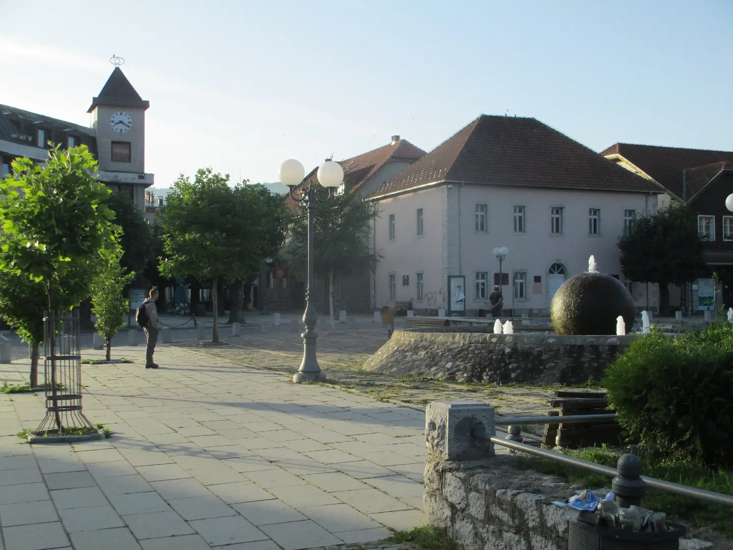
Starting point for Crna Glava, Biogradsko Lake and walks on Bjelasica.
Trailheads are in the north – a transfer gets you there, a car lets you hop between parks.
Marked mountain trails through national parks, to summits, lakes and huts, with maps and GPX tracks.
Hiking
Hiking · Hridsko Lake · Prokletije National Park
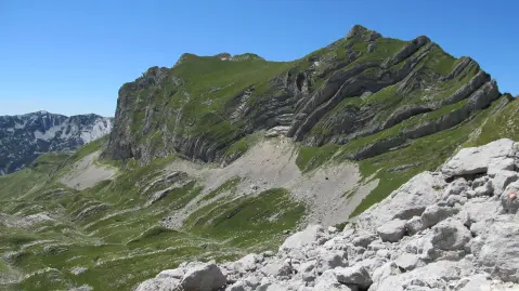
Hiking · Crno Jezero · Durmitor National Park
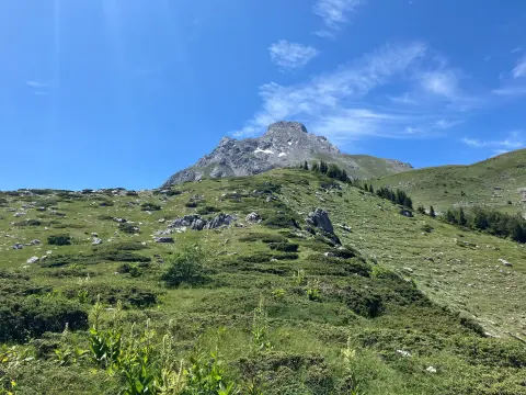
Hiking
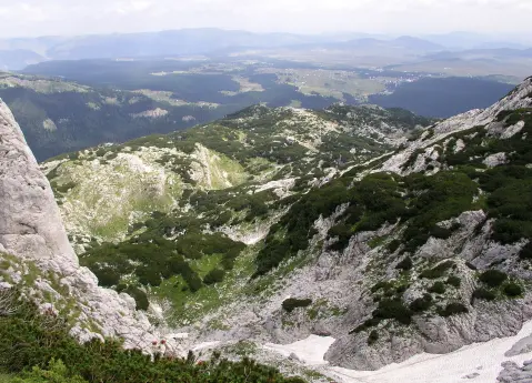
Hiking · Crno Jezero · Durmitor National Park
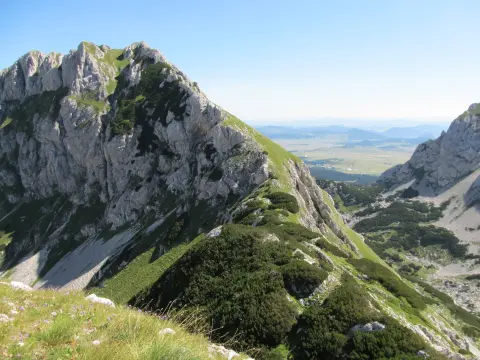
Hiking · Crno Jezero · Durmitor National Park
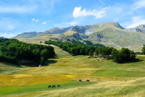
Hiking · Crno Jezero · Durmitor National Park
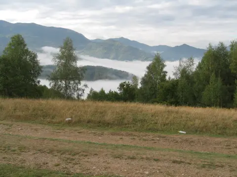
Hiking · Mojkovac