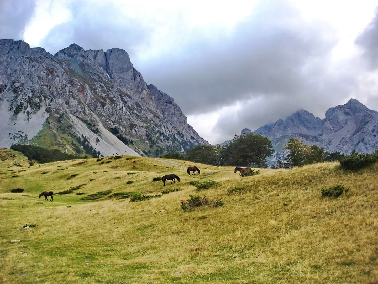
A hiking tour through the landscapes of Komovi with springs, viewpoints, and mountain huts.
A trail 15.8 km long, with a total ascent of 740 m, leading through forested and earthen terrain, past springs, viewpoints, and huts. The estimated walking time without breaks is 5 h 55 min; the route is demanding and goes in one direction.
Circuit around Komovi is a one-way hiking tour, 15.8 km long. It starts at 1,571 m a.s.l. and climbs to the highest point of 2,114 m a.s.l. The total ascent is 740 m and the total descent is 686 m. The estimated walking time without breaks is 5 h 55 min.
The route runs mostly along earthen and forest trails (93%), and partly along a gravel road (7%). The first section leads to the Varda viewpoint and the peak of the same name, then to the hut of PSD Železničar - Beograd and several springs and water taps. The upper section features springs, including Crni izvori, and the Ćafa od Pričelja pass at 2,105 m a.s.l.
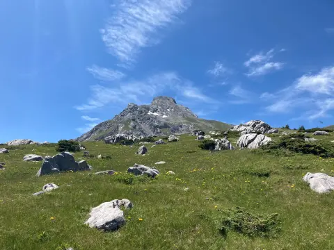
Near the end of the trail, at 15.1 km from the start, lies the Carine Mountain Hut. The trail is demanding and intended for hikers with good fitness and experience on mountain trails. The trail offers views of the surrounding landscapes of Komovi.
What this difficulty means
Steep, rocky or exposed passages and a long day out. For fit, sure-footed hikers with mountain experience.
Mountain hiking grade SAC T2 (scale T1–T6).
Places on this route
Move along the profile to follow the route on the map; switch on 3D for the terrain.
↑ 740 m · ↓ 686 m · highest point 2,114 m
Along the way
A peak at 1,752 m a.s.l., 1.7 km from the start of the trail.
A viewpoint at 1,725 m a.s.l., 2.0 km from the start of the trail.
A mountain lodge / hut at 1,725 m a.s.l., 4.1 km from the start of the trail.
A pass at 2,105 m a.s.l., 12.8 km from the start; located near the highest point of the trail (2,114 m a.s.l.).
A mountain lodge / hut at 1,865 m a.s.l., 15.1 km from the start, near the very end of the route.
There are several springs and water taps along the trail; nevertheless, bring enough water, especially during dry periods.
Start early in the morning — the estimated walking time without breaks is 5 h 55 min.
Wear hiking boots as the trail is mostly earthen and forested.
Bring layered clothing and sun protection; the highest point of the trail is at 2,114 m a.s.l.
Check the weather forecast before departing and be prepared for changing weather.
The route is demanding and passes through mountain terrain at altitudes above 1,500 m a.s.l. In the event of fog, thunder, or worsening weather, stop and return to safety. For emergencies in Montenegro, call 112.
Emergency number in Montenegro: 112.
Good to know
Best season
Due to the altitude between 1,571 m and 2,114 m, the best period for this tour is from late spring to early autumn, when trails are usually passable and weather conditions are more stable.
Getting there
The trail is located near Andrijevica, about 9.6 km away, and Bukumirsko jezero, about 8.9 km away. The starting point is reached from those directions.
The trail is 15.8 km long and goes in one direction.
The estimated walking time without breaks is 5 h 55 min.
On our scale it is demanding, and according to the SAC hiking scale T2.
The surface is 93% dirt/forest trail and 7% gravel road. The total ascent is 740 m, descent 686 m; the lowest point is 1,571 m above sea level, and the highest is 2,114 m above sea level.
30.9 km↑ 2,722 m2–3 days

6.1 km↑ 830 m3–4½ h

143 km↑ 5,436 m6–9 days
5.0 km↑ 56 m2–2½ h
1.4 km↑ 69 m25–35 min
3.9 km↑ 207 m70–95 min
8.2 km↑ 347 m2½–3½ h
41.0 km↑ 1,242 m4½–6½ h
LoopTimes and grades are estimates. Conditions change: check the weather and local information before you set out.

Ask about Montenegro
Ask me about destinations, restaurants or activities.
