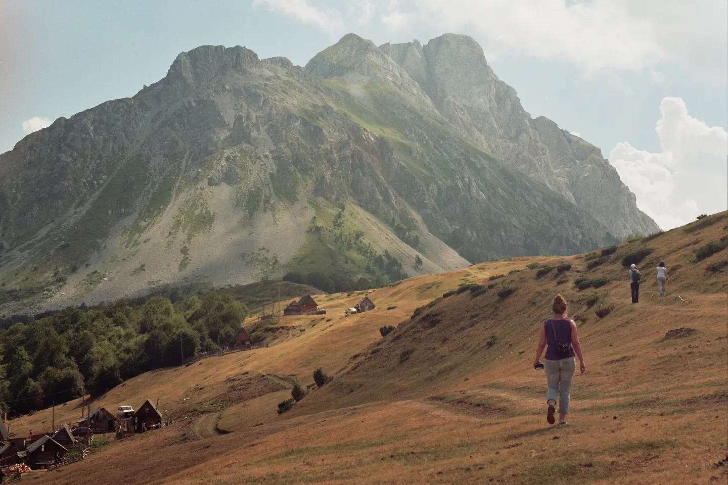
A short and easy gravel-road walk through the Komovi area, with a spring at 3.3 km.
An easy hiking trail from Štavna to katun Varda in Komovi, 3.9 km long, with 207 m of ascent and 5 m of descent. It takes about 1 hour and 20 minutes without breaks, on gravel, and at 3.3 km there is the Vladova česma spring.
The trail begins in Štavna and leads in one direction to katun Varda in Komovi. It is 3.9 km long, and the total ascent is 207 m and descent 5 m. The lowest point is at 1438 m above sea level, and the highest at 1646 m above sea level. Estimated walking time without breaks is about 1 hour and 20 minutes.
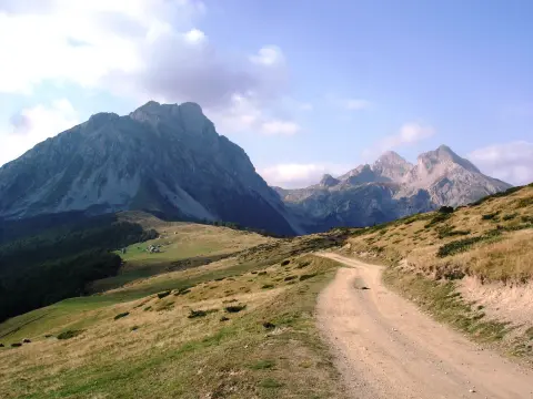
The entire route is on gravel. At 3.3 km from the start there is the spring “Vladova česma” at 1630 m above sea level. This is a convenient spot for a short rest and water refill.
The trail is easy and short, making it suitable for families, beginners, and recreational hikers. It is not circular, so you need to plan your return or transport. The best months to visit are June, July, August, September, and October. Near the trail, about 8.1 km away, is Andrijevica.
What this difficulty means
Well-made paths with gentle gradients. Fine for families and anyone used to walking a few hours.
Places on this route
Move along the profile to follow the route on the map; switch on 3D for the terrain.
↑ 207 m · ↓ 5 m · highest point 1,646 m
Along the way
It is located 3.3 km from the start, at 1630 m above sea level. Good for a short rest and water refill.
The end point of the trail in the Komovi area.
Total ascent is 207 m, descent 5 m, with the highest point at 1646 m above sea level.
Bring enough water; although there is a spring on the trail, in the mountains it is always good to have a reserve.
Wear layered clothing and comfortable footwear for gravel.
Check the weather forecast before departure and start earlier, especially in summer.
The trail is not circular, so plan your return or transport in advance.
Inform someone about your plan, even though the trail is easy.
Although the trail is easy, it is at an altitude of up to 1646 m. The weather can change quickly, so check the forecast and avoid thunderstorms. In case of need, call 112.
Emergency number in Montenegro: 112.
Good to know
Best season
The best months to visit are June, July, August, September, and October. During this period, mountain conditions are usually more favorable.
Getting there
The trail starts in Štavna. The nearest town is Andrijevica, about 8.1 km from the trail.
The trail is 3.9 km long.
Estimated time without breaks is about 1 hour and 20 minutes.
The trail is easy.
The best months are June, July, August, September and October.
Hiking

Hiking · Crno Jezero · Durmitor National Park

Hiking
Cycling · Andrijevica

Hiking
Hiking
Hiking · Andrijevica
Hiking · Andrijevica
Times and grades are estimates. Conditions change: check the weather and local information before you set out. Map and data sources →

