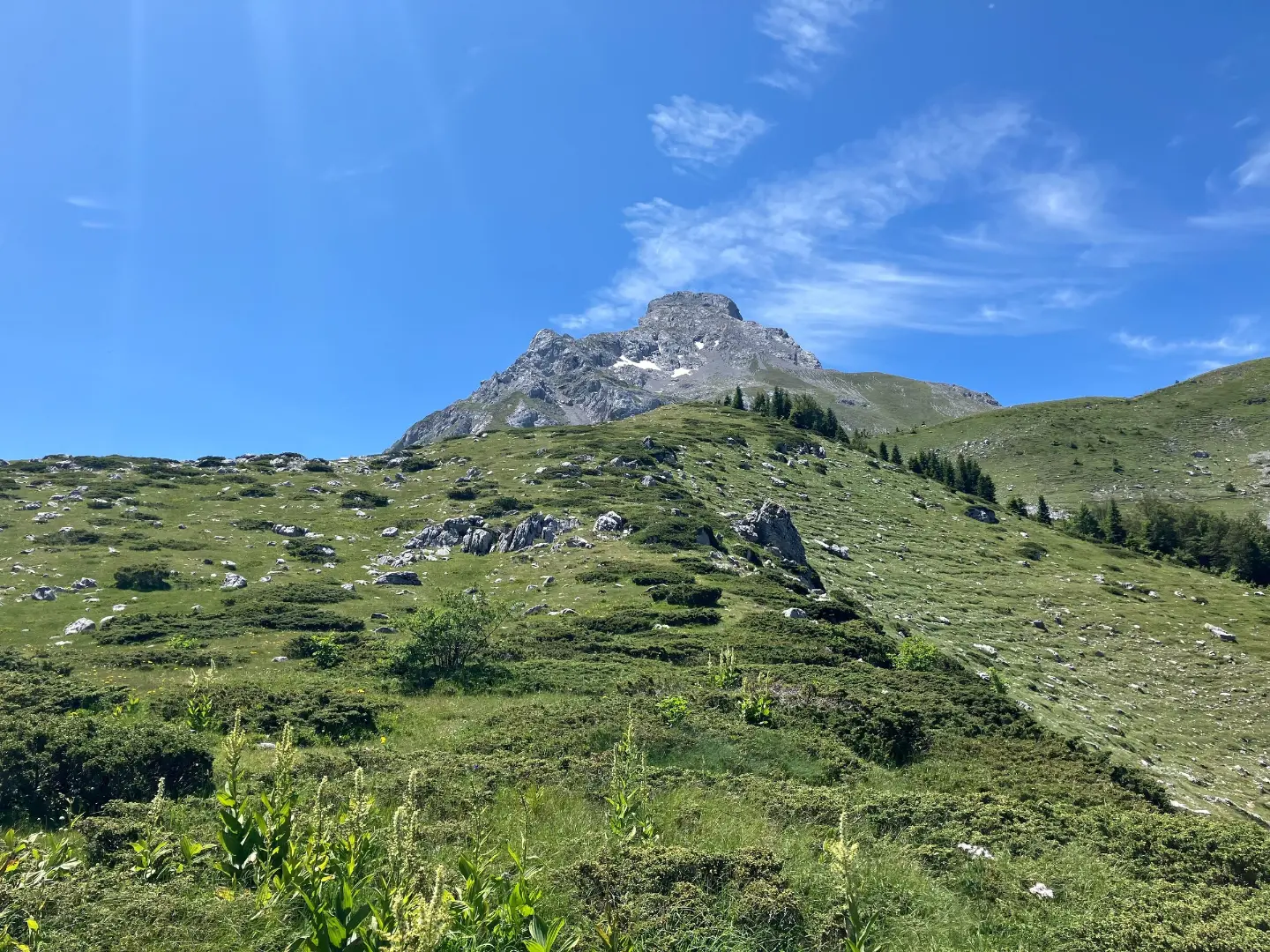
A hiking trail through forest and past springs, with a moderate ascent and descent.
The one-way hiking trail from Štavna to Pajkov Vir is 8.2 km long. With 347 m of ascent and 332 m of descent, it mostly follows a dirt and forest trail, with springs and camps along the route.
The Štavna – Pajkov Vir trail connects Štavna and Pajkov Vir in one direction. It is 8.2 km long and overcomes 347 m of ascent and 332 m of descent. The lowest point is at 1571 m above sea level, and the highest at 1873 m above sea level. The estimated walking time without breaks is 2 h 55 min, so the trail is of moderate difficulty.
The route almost entirely (99%) follows a dirt and forest trail. Right at the start, at 0.1 km, there is a camp at 1779 m above sea level. At 0.3 km from the start there is the Jankova voda spring at 1767 m above sea level, and at 0.6 km another spring at 1751 m above sea level. A little later, at 2.8 km, Camp Martinovića is located at 1700 m above sea level. Just before the end, at 7.4 km from the start, you come to a drinking water fountain at 1873 m above sea level.
Due to altitudes above 1500 m and the forest terrain, the trail is suitable for hikers with basic fitness. It is recommended to start in the early morning hours, especially in summer, and to carry enough water even though there are springs and a fountain along the route.
What this difficulty means
Longer or steeper sections and uneven ground. You need basic fitness, sturdy shoes and a little mountain experience.
Places on this route
Move along the profile to follow the route on the map; switch on 3D for the terrain.
↑ 347 m · ↓ 332 m · highest point 1,873 m
Along the way
At 0.1 km from the start there is a camp at 1779 m above sea level.
The Jankova voda spring is located 0.3 km from the start, at 1767 m above sea level.
At 2.8 km from the start the trail passes by Camp Martinovića, at 1700 m above sea level.
At 7.4 km from the start, at 1873 m above sea level, there is a drinking water fountain.
Carry enough water; although there are springs and a drinking fountain on the route, plan supplies for the whole day.
Wear hiking footwear and layered clothing; the dirt and forest trail can be wet or slippery.
Start early: walking without breaks takes about 2 h 55 min, and with breaks and stops, plan for more time.
Check the weather forecast before setting off, because, at altitudes between 1571 m and 1873 m above sea level, the weather changes quickly.
Arrange transport from the end point, as the trail is not a loop.
Before setting off, check the weather forecast; fog and thunderstorms are possible in the mountain area. In case of an emergency call, dial 112. Bring a charged phone and adjust your pace to the ascent and descent.
Emergency number in Montenegro: 112.
Good to know
Best season
The most reliable period for this tour is from late spring to early autumn, when the trail is usually free of snow. In summer, an early start is recommended due to high daytime temperatures and afternoon thunderstorms.
Getting there
The nearest town is Andrijevica, about 10 km away from the trail. The start is Štavna, and the end point is Pajkov Vir; since the trail is not a loop, arrange transport from the end point.
It is 8.2 km long and runs in one direction.
The estimated duration without breaks is 2 h 55 min.
It is of moderate difficulty, with a total ascent of 347 m and descent of 332 m.
The lowest point is at 1571 m above sea level, and the highest at 1873 m above sea level.
Hiking

Hiking · Crno Jezero · Durmitor National Park

Hiking
Cycling · Andrijevica
Hiking · Andrijevica
Hiking

Hiking
Hiking
Times and grades are estimates. Conditions change: check the weather and local information before you set out. Map and data sources →

