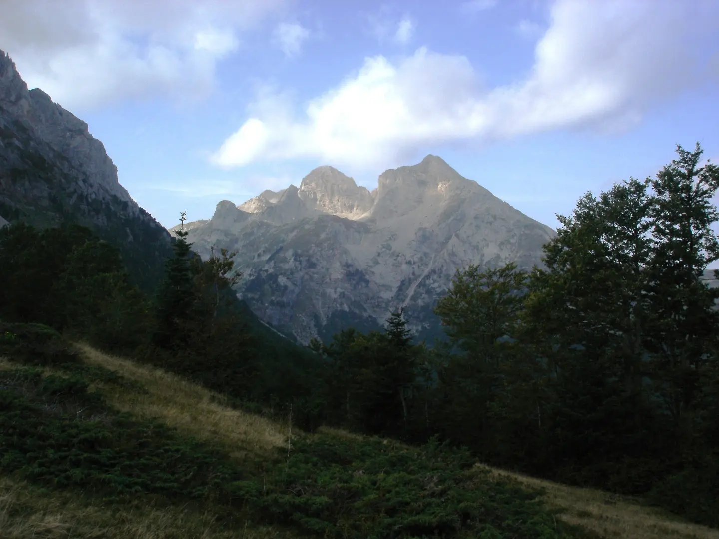
Circular cycling route from Andrijevica: 41.0 km of asphalt and gravel, with climbs, viewpoints and drinking fountains.
The circular Komovi cycling route, 41.0 km long, starts and ends in Andrijevica. It has 1242 m of total ascent, a surface of 56% asphalt/concrete and 44% gravel, and the estimated riding time without breaks is 5 h 15 min.
The circular Komovi cycling route starts and ends in Andrijevica. It is 41.0 km long, with a total ascent of 1242 m and a total descent of 1237 m. The estimated riding time without breaks is 5 h 15 min, and the route is of moderate difficulty.
Surface is mixed: asphalt or concrete accounts for 56%, and gravel for 44%. The lowest point of the route is at 756 m above sea level, and the highest at 1819 m above sea level. The ride leads through varied terrain and opens views of the surrounding mountain landscapes.
Along the route, climbs and descents alternate. At 7.9 km from the start there is a waterfall. In several places along the route there are drinking fountains or drinking water. Among the viewpoints are Mali krš (1179 m above sea level), Dubačke glave (1651 m above sea level) and Razvrše (1784 m above sea level). At 24.0 km from the start there is a camp. Parking is available at the start of the route (0.0 km) and at 40.9 km.
The route is suitable for recreational cyclists who handle longer climbs well. Due to the length and elevation difference, plan breaks and carry spare water.
What this difficulty means
Some longer climbs or rougher surfaces. You need regular riding fitness.
Places on this route
Move along the profile to follow the route on the map; switch on 3D for the terrain.
↑ 1,242 m · ↓ 1,237 m · highest point 1,819 m
Along the way
Peak at 1179 m above sea level, at 36.9 km from the start of the route.
Peak at 1651 m above sea level, at 18.2 km from the start of the route.
Peak at 1784 m above sea level, at 22.1 km from the start of the route.
Waterfall at 863 m above sea level, at 7.9 km from the start of the route.
Memorial fountain to Vučević Zoran at 26.1 km and Kamenička voda at 26.9 km, along with several other drinking fountains along the route.
Prepare your bike for the mixed surface: asphalt/concrete and gravel, with suitable tires and brakes.
Carry enough water; although there are drinking fountains along the route, do not rely only on them.
Set off earlier in the morning, because the estimated riding time without breaks is 5 h 15 min.
Carry layered clothing and rain protection; because of the high-altitude sections the weather can change quickly.
Check the weather forecast before setting off and adapt your plan to the conditions on the ground.
The route passes through mountain areas and reaches 1819 m above sea level on certain sections. Check the weather forecast and do not set out in thunderstorm weather; in fog or darkness increase caution. In case of accident, call 112.
Emergency number in Montenegro: 112.
Good to know
Best season
The best period is from late spring to early autumn, when the mountain sections are passable and free of snow. At altitudes over 1700 m above sea level, even in spring, it can be cold and damp.
Getting there
The start of the route is in Andrijevica, about 0.2 km from the town, and at the start there is a parking area (0.0 km). The route is circular, so it ends at the same place.
The route is 41.0 km long and is circular in shape — it starts and ends in Andrijevica.
The estimated duration without breaks is 5 h 15 min. With breaks and stops, you should allow for more time.
The trail difficulty is moderate. Total ascent is 1242 m, and total descent is 1237 m.
Asphalt or concrete make up 56 % of the trail, and gravel 44 %. The trail is 41.0 km long in total.
44.2 km↑ 1,188 m3½–5 h
Loop16.9 km↑ 353 m1–1½ h
Loop
14.6 km↑ 1,061 m4½–6½ h
28.2 km↑ 879 m3–4½ h
56.8 km↑ 3,721 m3–4 days
26.9 km↑ 450 m2–2½ h
6.9 km↑ 164 m30–40 min
Loop
24.6 km↑ 2,054 m2–3 days
Times and grades are estimates. Conditions change: check the weather and local information before you set out.

Ask about Montenegro
Ask me about destinations, restaurants or activities.
