Bicycle trail from Andrijevica to Gusinje: 28,2 km, moderate, with drinking fountains, springs and the Slapovi waterfall.
The Kuti bicycle trail connects Andrijevica and Gusinje. Its length is 28,2 km, total ascent is 879 m, and the highest point is 1501 m a.s.l.; the surface is mostly asphalt/concrete.
The Kuti bicycle trail connects Andrijevica and Gusinje over a length of 28,2 km. The route is one-way, with a total ascent of 879 m and a descent of 737 m. Riding without breaks takes about 3 h 40 min, and the difficulty is moderate.
Asphalt/concrete dominates the surface (78 %), while 14 % is dirt/forest trail and 9 % is gravel. The lowest point is at 756 m a.s.l., and the highest at 1501 m a.s.l. The start is at the parking area at the beginning of the route, about 0,2 km from Andrijevica, and the finish is at the Gusinje bus station, at 921 m a.s.l.
Along the trail there are drinking fountains and springs: at 1,5 km a drinking fountain, at 8,9 km the Miloševa voda drinking fountain, and at 13,0 km and 20,0 km springs. The Slapovi waterfall is at 10,4 km, at 960 m a.s.l. In addition, Lake Plav is about 7,9 km from the trail.
The trail is of moderate difficulty and suits cyclists who are used to asphalt and gravel. Because of the ascent and duration, you should plan breaks and bring enough water.
What this difficulty means
Some longer climbs or rougher surfaces. You need regular riding fitness.
Places on this route
Move along the profile to follow the route on the map; switch on 3D for the terrain.
↑ 879 m · ↓ 737 m · highest point 1,501 m
Along the way
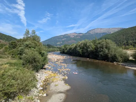
The waterfall is located 10,4 km from the start of the trail, at 960 m a.s.l.
A drinking fountain at 8,9 km, at 906 m a.s.l.; a good place to refresh.
At 13,0 km and 20,0 km from the start there are springs, at 1014 m a.s.l. and 1318 m a.s.l.
The route climbs to 1501 m a.s.l., the highest point of the trail.
The lake is about 7,9 km from the trail.
Check the brakes before the ride – total descent is 737 m.
Bring enough water; there are drinking fountains and springs along the trail, but stock up before the ascent.
Bear in mind that riding without breaks takes 3 h 40 min, so set off early enough.
For dirt and gravel sections, wider tyres and a spare inner tube are useful.
Bring wind clothing and sun protection; at the highest point it is 1501 m a.s.l.
The trail is moderate, but the 879 m ascent requires solid fitness and a reserve of water. At higher sections the weather can change quickly; bring clothing for wind and cooler conditions. For accidents, call 112.
Emergency number in Montenegro: 112.
Good to know
Best season
The warm season is the most favourable. On sections around and above 1000 m a.s.l., in the colder part of the year it can be cold, foggy and slippery.
Getting there
The trail start is next to the parking area at 0,0 km, about 0,2 km from Andrijevica. The trail finish is at the Gusinje bus station, where there is also parking.
The trail is 28,2 km long.
Estimated duration without breaks is 3 h 40 min.
The trail is of moderate difficulty, with 879 m total ascent and 737 m descent.
The trail is one-way: it starts in Andrijevica and leads to Gusinje.
44.2 km↑ 1,188 m3½–5 h
Loop16.9 km↑ 353 m1–1½ h
Loop
41.0 km↑ 1,242 m4½–6½ h
Loop
14.6 km↑ 1,061 m4½–6½ h
56.8 km↑ 3,721 m3–4 days
26.9 km↑ 450 m2–2½ h
6.9 km↑ 164 m30–40 min
Loop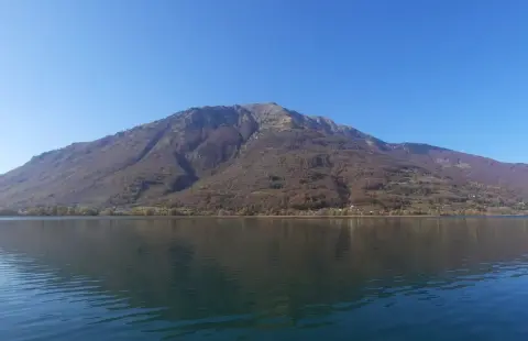
24.6 km↑ 2,054 m2–3 days
Times and grades are estimates. Conditions change: check the weather and local information before you set out.

Ask about Montenegro
Ask me about destinations, restaurants or activities.
