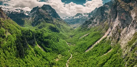
A mountain town on the Lim – gateway to Komovi
Andrijevica lies at the confluence of the Zlorečica river into the Lim, surrounded by three mountain massifs: Komovi, Bjelasica and Prokletije.
The town is the starting point for hiking on Komovi, whose three peaks are over 2,400 metres high, as well as for cycling routes through Gradišnica and Mount Lisa. The Lim and its tributaries offer fishing for trout, huchen and grayling, while the katuns in the surrounding area preserve the tradition of Vasojevići cuisine. Andrijevica was the scene of important historical events, and it was here that the first school and reading room in the region were founded.
Highlights
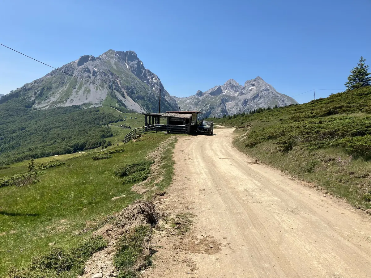
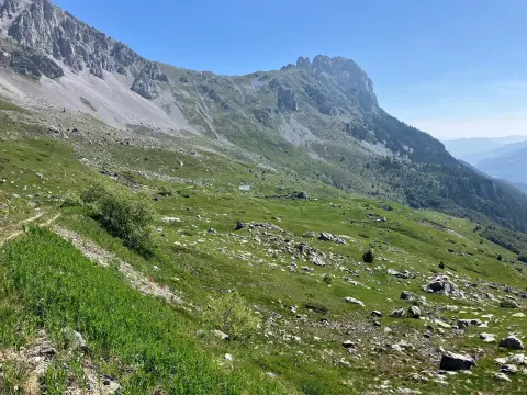
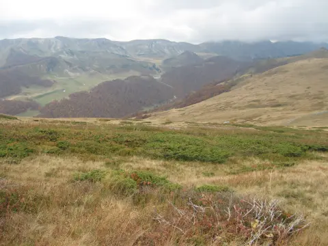
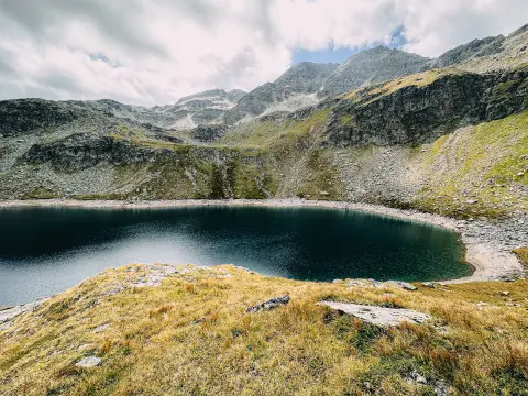
Komovi is a mountain massif that dominates the skyline of Andrijevica and the entire Podkomovlje region. The massif has three peaks over 2,400 metres – Vasojevićki Kom, Kučki Kom and Ljevorečki Kom. From Vasojevićki and Kučki Kom you can see Bjelasica, Prokletije and the river valleys in all directions. Andrijevica is the most common starting base for conquering Komovi, and the Etno village Stavna serves as a trailhead for the most popular routes. Hiking with a local guide is recommended for everyone visiting the massif for the first time.
Mount Lisa holds a special place in Andrijevica's offering because it connects Komovi and Bjelasica through one picturesque mountain corridor. From the Lisa pass you can enjoy one of the rare views in Montenegro where both massifs can be seen at the same time, as well as the valleys of the Lim, Gradišnica and Tara rivers. The marked hiking and cycling trail AN03 also passes through here, and there are several active katuns along the route. Access is possible from Andrijevica towards Gradišnica or from the direction of Kolašin and Berane.
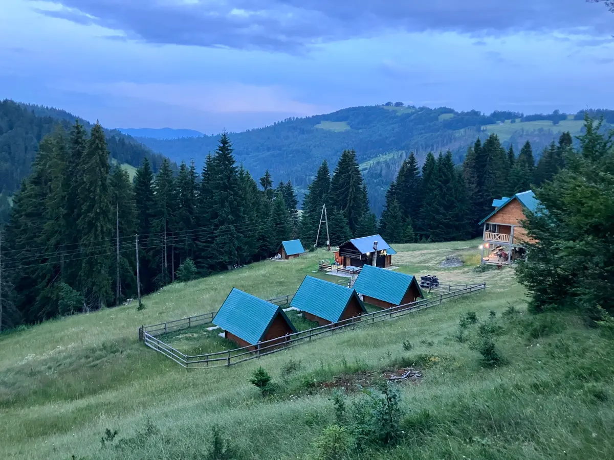
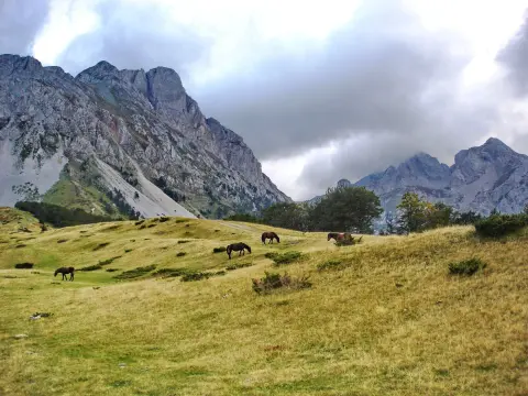
Gradišnica is a gentle green area between Andrijevica and Mount Bjelasica, dotted with pastures, streams and authentic shepherd katuns. Due to its rich pastures, this has always been an important area for herders from the Andrijevica region, so dozens of active katuns can still be found here in summer. Visitors can buy homemade cheese, kajmak and honey directly from the hosts, and try traditional Montenegrin dishes. One of the marked cycling routes (AN03) passes through Gradišnica and is considered one of the more beautiful ones in the region.
Kuti is a sleepy mountain village just 20 km from Andrijevica, located in a picturesque valley surrounded by Prokletije and Komovi, right next to the Albanian border. This place was once a crossroads of caravan routes, while today only a few families live here. The Kuckaja river is clear and rich in fish, ideal for fly fishing. The nature is completely untouched, and the views of Prokletije are spectacular. Kuti is also a starting point for hiking towards Prokletije and towards Komovi.
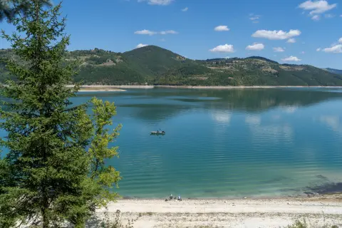
The Lim river flows through the very heart of Andrijevica, and its tributaries – Zlorečica, Kuckaja and Perućica – are known as some of the richest fishing grounds in Montenegro. The grounds are rich in trout, huchen and grayling, and fly fishing is especially popular. The Lim and its rapids also attract lovers of extreme sports. Fishing licences can be obtained locally, and the most beautiful period for fishing is from April to October.
What's on
Hiking, walking and cycling routes that start here or pass nearby, with maps and GPX downloads.
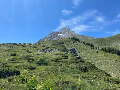
The one-way hiking trail from Štavna to Pajkov Vir is 8.2 km long. With 347 m of ascent and 332 m of descent, it mostly follows a dirt and forest trail, with springs and camps along the route.
8.2 km347 m2½–3½ h
View trail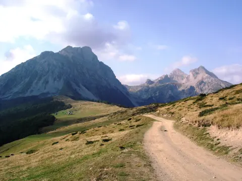
The challenging one-way mountain hike from Andrijevica to Komovi is 14.6 km long, with a total ascent of 1061 m and descent of 68 m, and an estimated duration without breaks of 5 h 30 min. It leads from 783 m a.s.l. to 1780 m a.s.l., past Mali krš, Dubačke glave and a mountain hut.
14.6 km1,061 m4½–6½ h
View trail
A very demanding one-way hiking trail: 22.8 km, 1330 m of ascent and 751 m of descent, with the highest point at 1857 m a.s.l. It starts near Berane and passes by peaks and water fountains.
22.8 km1,330 m7½–10½ h
View trailOne-way hiking trail, 22,0 km long, with 1238 m of total ascent and 298 m of descent. Estimated walking time without breaks is 7 h 50 min; it is intended for experienced hikers.
22.0 km1,238 m6½–9½ h
View trailThe Andrijevica – Gradišnica – Jelovica trail is 29,5 km long with a total ascent of 1189 m and descent of 661 m. The highest point is at 1781 m above sea level. The tour takes about 10 h without breaks and is intended for experienced hikers.
29.5 km1,189 m8½–12 h
View trail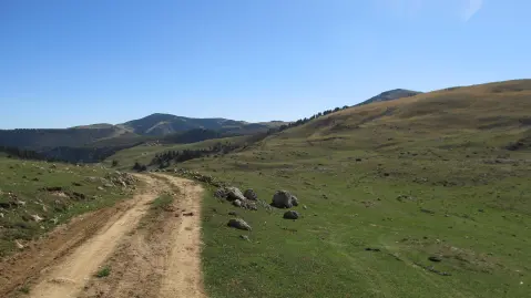
A demanding linear route of 41.4 km leads from Biogradska Gora to Komovi, crossing the Bjelasica ridges at elevations between 1,564 m and 2,094 m. It is intended for experienced hikers seeking a two- or three-day challenge in the heart of the Montenegrin mountains.
41.4 km1,496 m2–3 days
View trail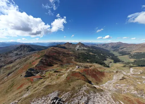
Via Dinarica is a marked hiking trail in Prokletije National Park, 56.8 km long, with 3,721 m of ascent. It starts near Andrijevica, passes by Plav and Hridsko jezero, and is walked over several days.
56.8 km3,721 m3–4 days
View trail
A one-way cycling route of 61.3 km with 1755 m of ascent and 2844 m of descent. It leads from Čakor pass, passes by peaks and water springs, and approaches Andrijevica; mostly asphalt/concrete, partly gravel road.
61.3 km1,755 m6½–9 h
View trail
Did You Know?
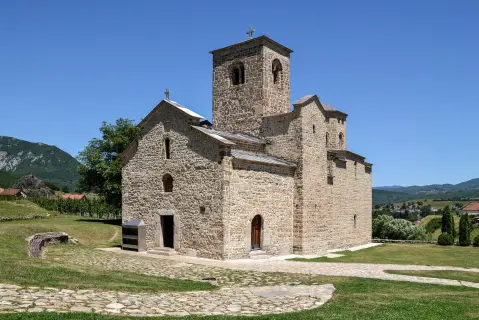
The first school and reading room in the region were founded in Andrijevica, and near the town remains of one of the oldest churches in Polimlje were found. The first school and reading room in the region
Plan Your Visit
Phone
+382 51 243 171Website
www.toandrijevica.meThe town is accessible throughout the year. The Andrijevica Tourist Organization works on weekdays.
Entry to the town and to marked hiking and cycling areas is free of charge.
Free parking is available in front of the Komovi Hotel in the town centre.
The town centre is largely accessible for people with reduced mobility. Mountain trails are not suitable for wheelchairs.
FAQ
Around here