Mountains
Hiking
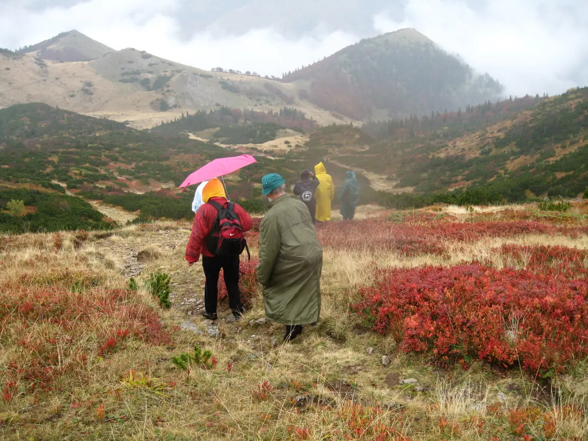
Marked trails to Crna Glava, Zekova Glava and the lakes start from Kolašin, Biogradska Gora, Berane and Andrijevica.
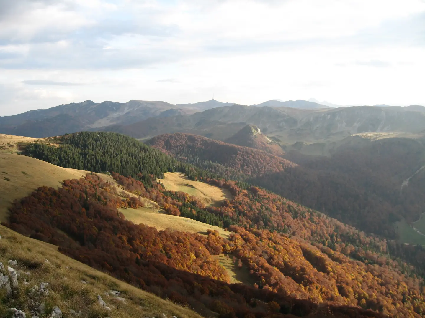
A mountain of lakes, katuns and ski slopes above Kolašin
Bjelasica stretches about 30 by 30 kilometres between the Tara and Lim rivers, across five municipalities: Kolašin, Mojkovac, Bijelo Polje, Berane and Andrijevica.
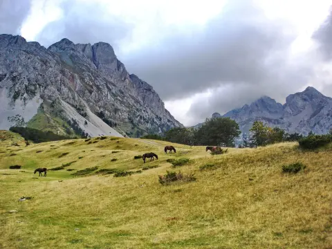
Unlike Montenegro's limestone mountains it is of volcanic origin, so it has rounded ridges, grassy pastures and dense forests. The highest peak is Crna Glava (2,139 m), and nine more summits rise above 2,000 metres. The mountain holds six glacial lakes, Biogradska Gora National Park with its old-growth forest and Biogradsko Lake, many katuns, and the country's largest ski area, Kolašin 1450 and Kolašin 1600.
Highlights
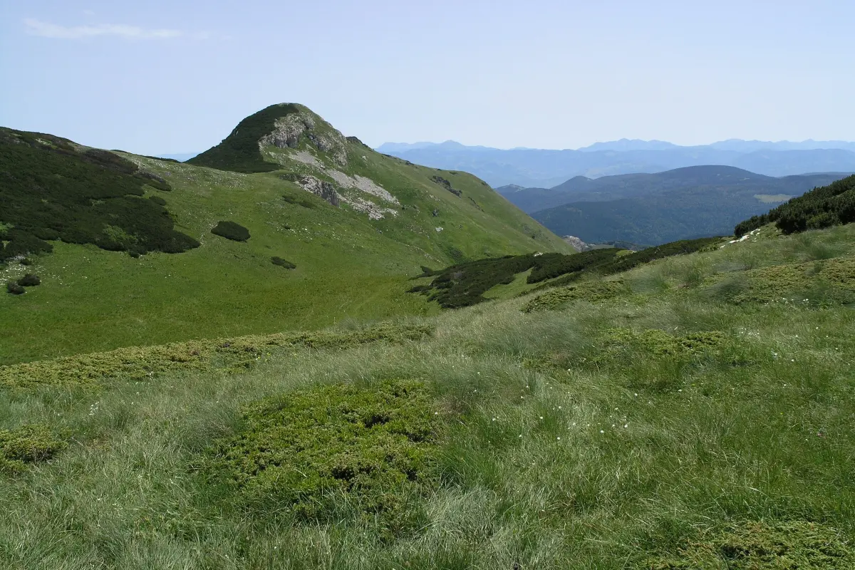
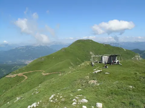
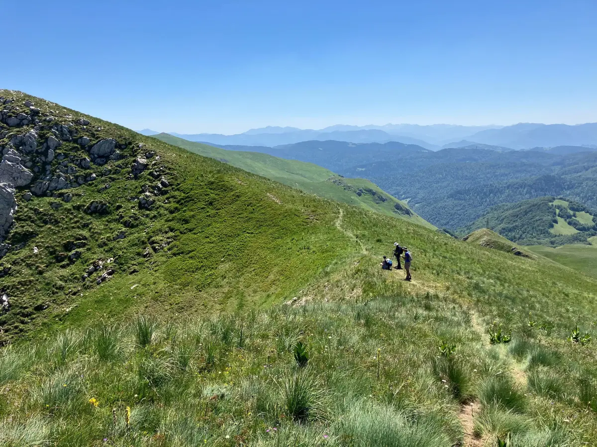
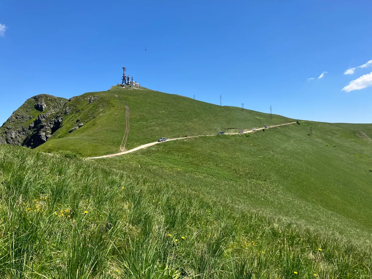
Crna Glava (2,139 m) is the highest peak of Bjelasica, and marked trails lead to it from all five municipalities – from Kolašin, through Biogradska Gora, from Lubnice near Berane and from the Vranjak katun. Neighbouring Zekova Glava (2,117 m) is easy to spot by the radio transmitter on its top. A gentle ridge links the two, with open views of Komovi and Prokletije.
Explore More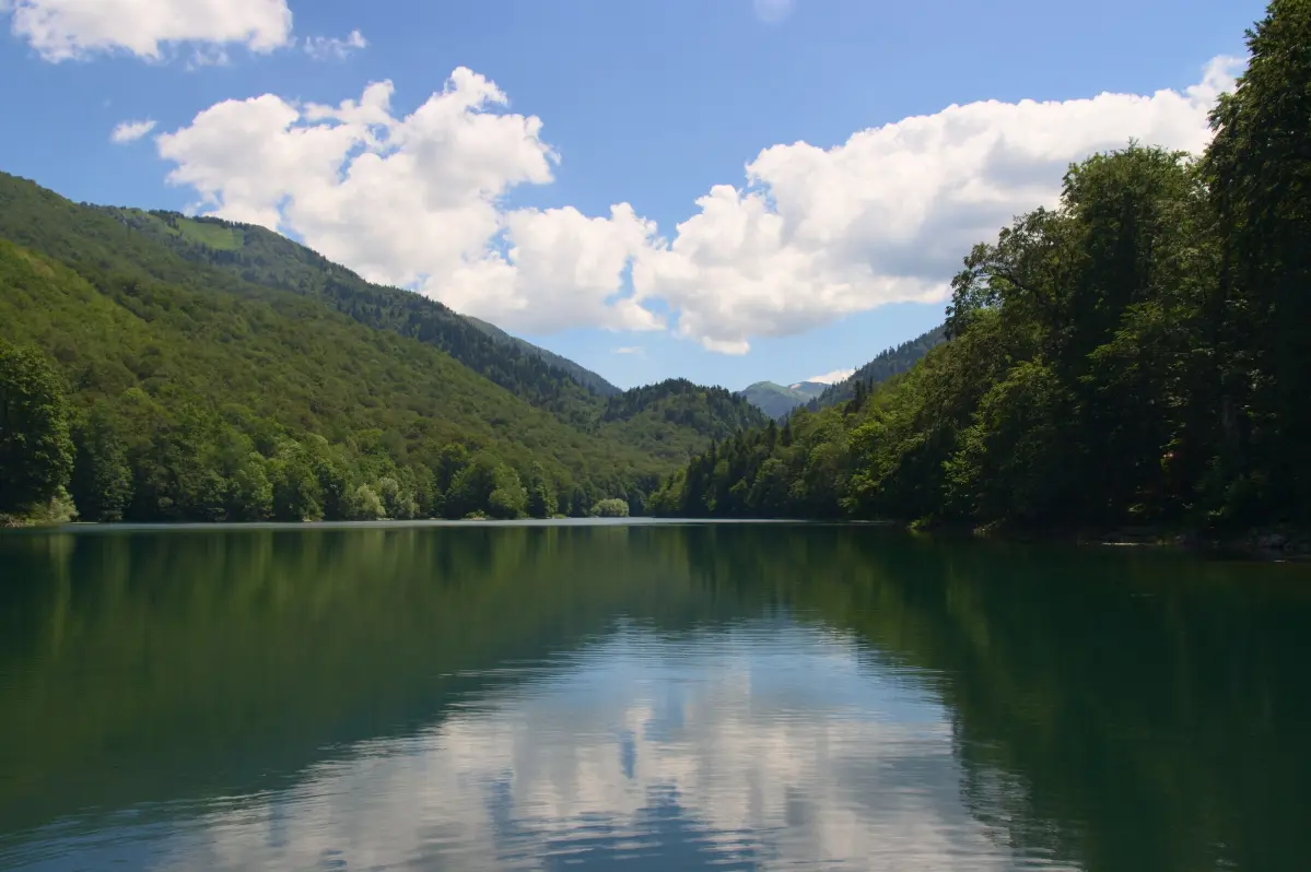
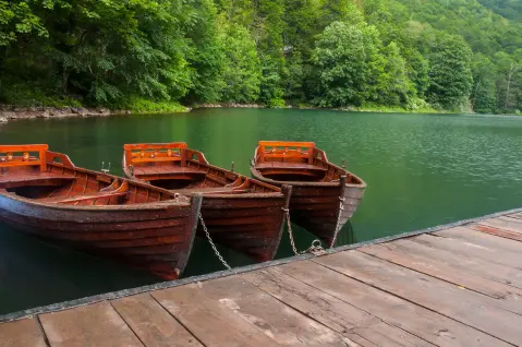
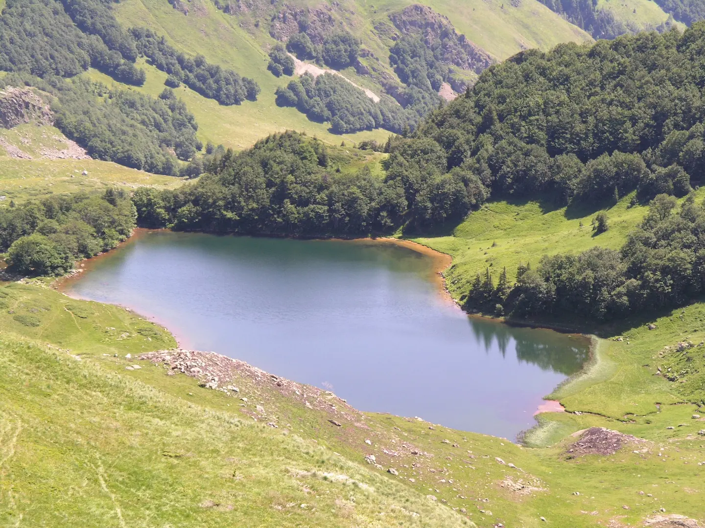
On the western slopes of Bjelasica lies Biogradska Gora, a national park since 1952 and protected as far back as 1878, when Prince Nikola declared it a reserve. In its 1,600-hectare old-growth reserve the trees grow taller than 40 metres. An easy trail circles Biogradsko Lake, and boats can be hired on the shore.
Explore More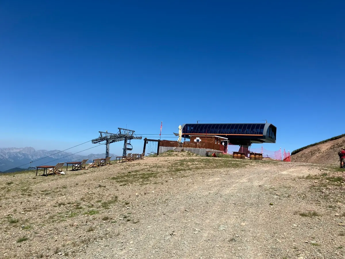
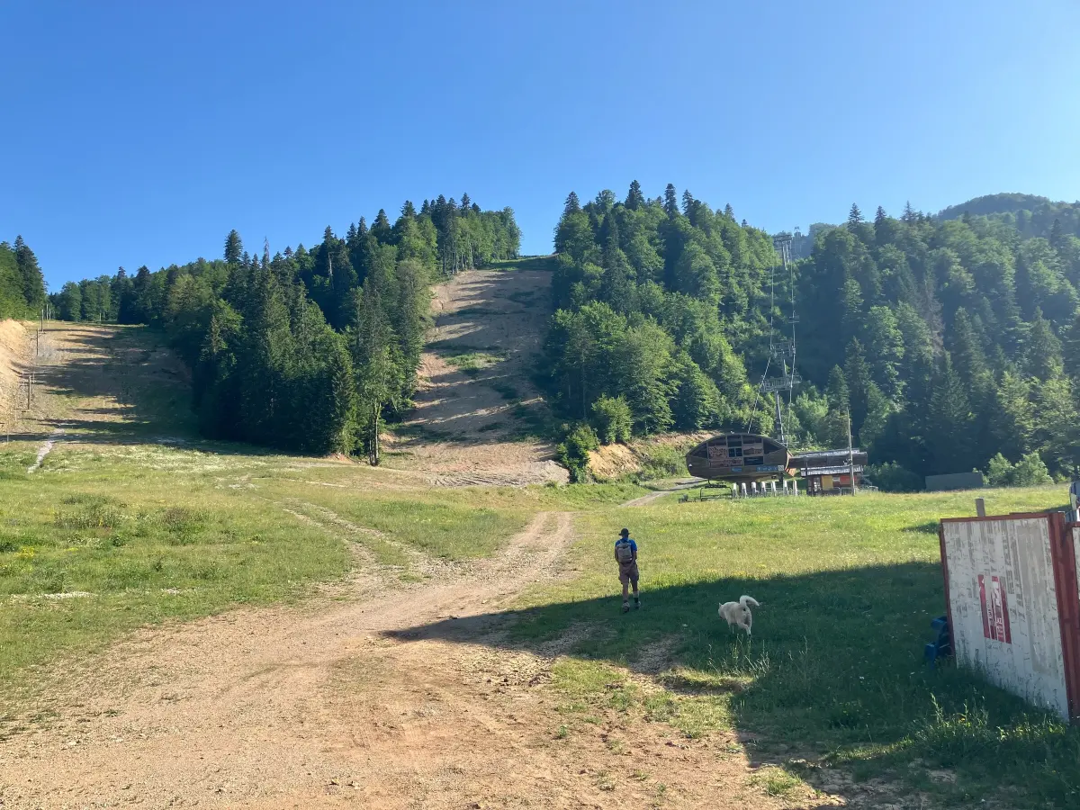
Above Kolašin are two ski centres that the K7 lift joined into a single ski area with about 45 kilometres of pistes. Kolašin 1600 is twelve kilometres from town, and its six-seat K8 chairlift climbs to 2,035 metres. Kolašin 1450 is nine kilometres from town. A daily bus runs from the centre of Kolašin to the slopes, and the season usually lasts from December to March.
Explore More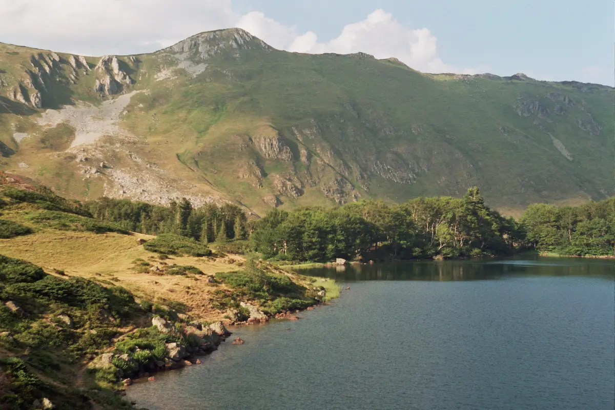
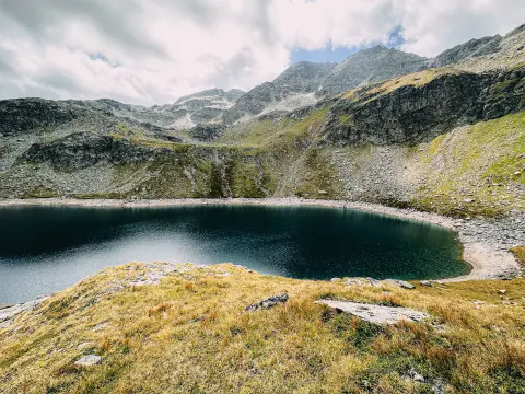
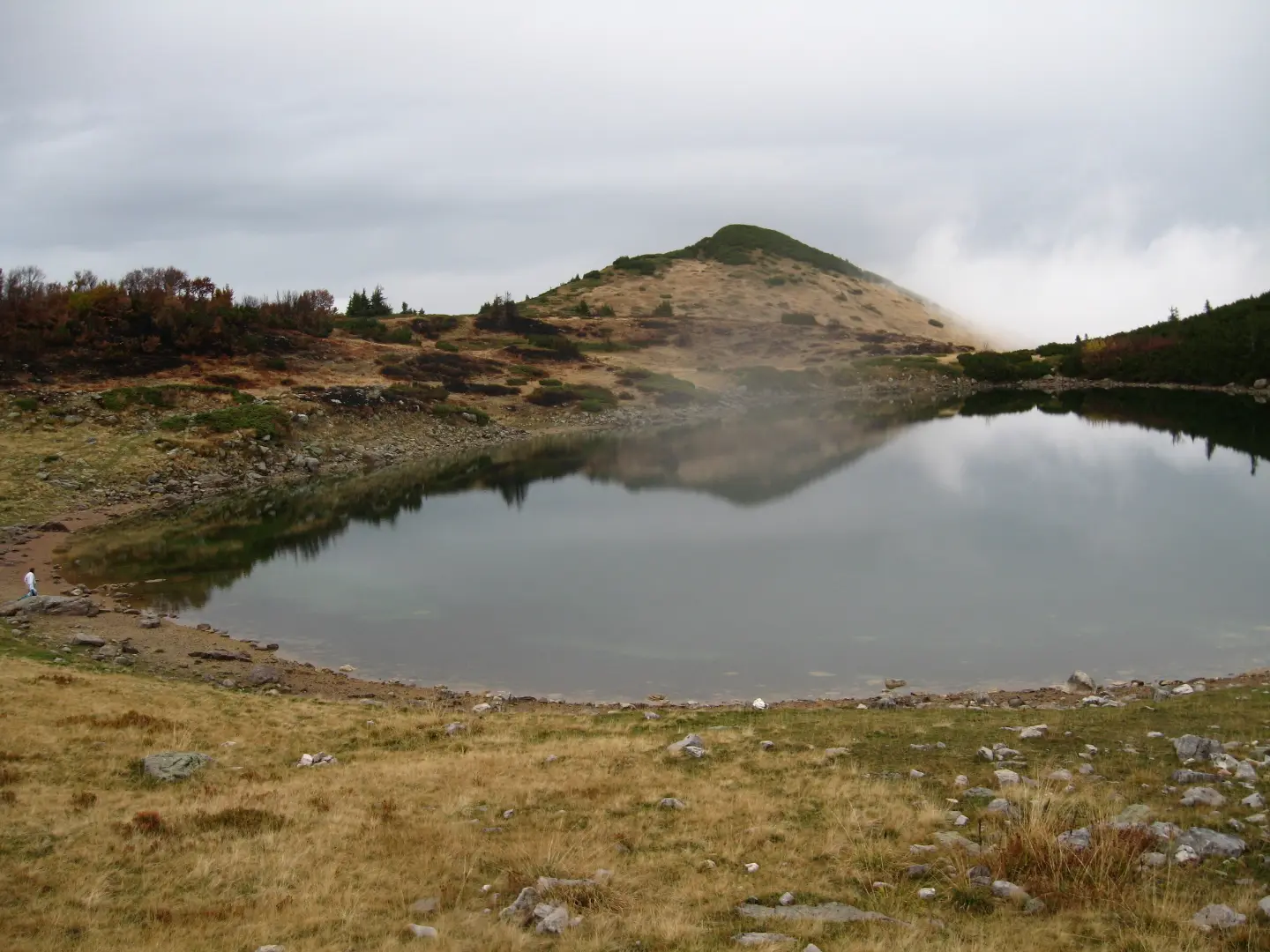
A small glacial lake at about 1,820 m, in a hollow between Crna Glava, Zekova Glava and Belilo. It is about eight metres deep, with a katun of the same name beside it. The easiest approach is from the Vranjak katun along the trail towards Crna Glava, with a short descent to the water; the lake also looks lovely from the Zekova Glava ridge.
Explore More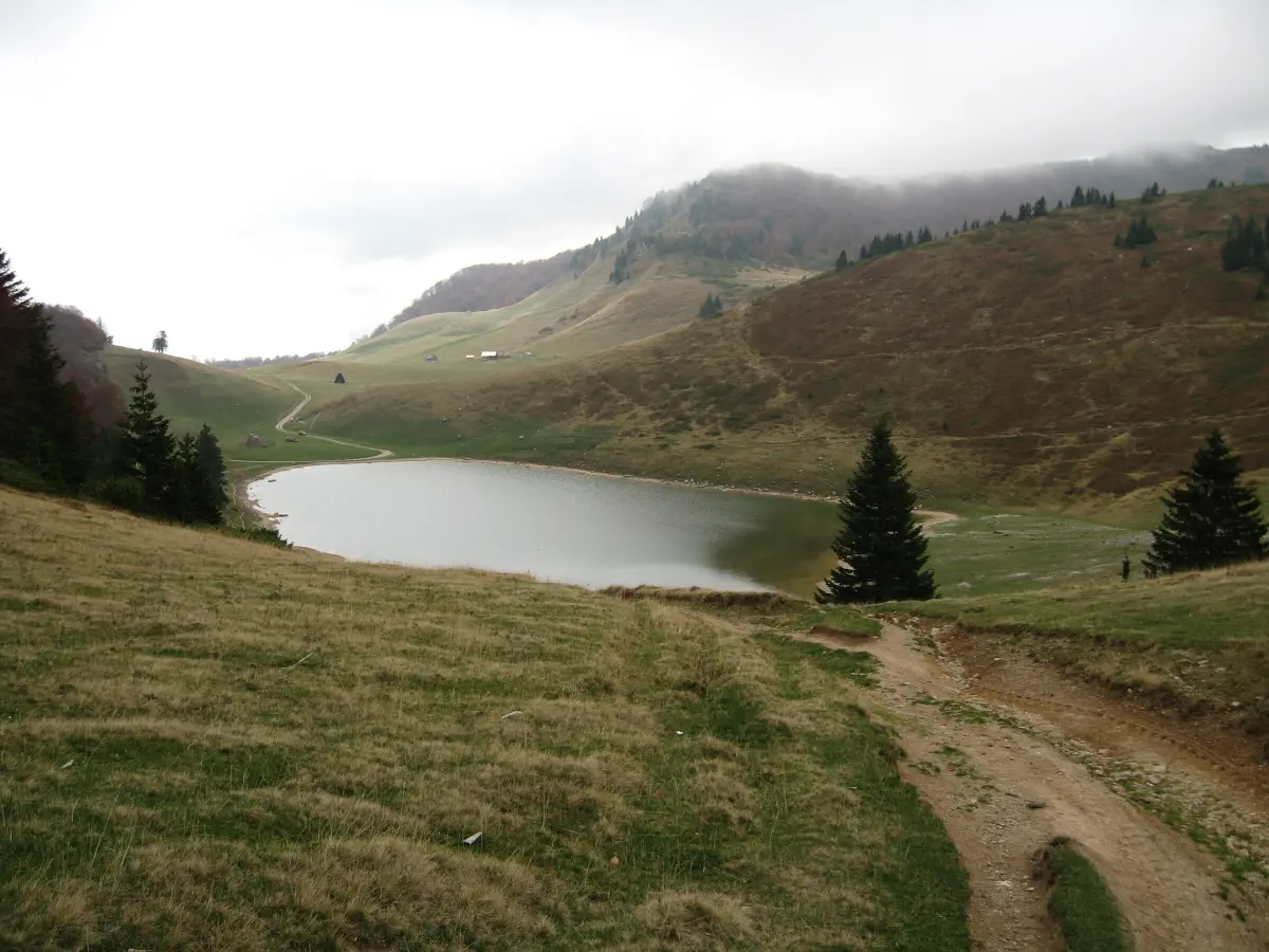
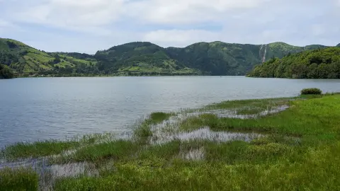
On the eastern side of the mountain, above Berane, lies Šiško Lake at 1,660 m, with the Šiška katun and small lakes nearby. Below Crna Glava is Ursulovačko Lake, the highest of Bjelasica's lakes, clear and stony-bottomed. Hiking trails link the lakes, and a gravel road also reaches Šiško.
Explore More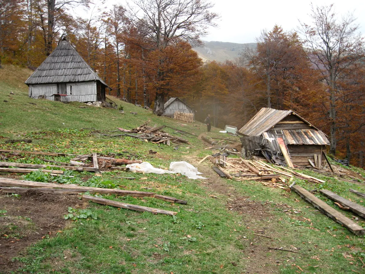
For centuries Bjelasica was herders' country, and a network of katuns and tracks still covers it. The Vranjak eco-katun, at about 1,800 m on the edge of Biogradska Gora, has wooden huts for guests, and from the Goleš katun above Kolašin marked trails lead to Biogradsko and Pešića lakes, Vranjak and Crna Glava.
Explore MoreWhat to do
Mountains
Marked trails to Crna Glava, Zekova Glava and the lakes start from Kolašin, Biogradska Gora, Berane and Andrijevica.
Mountains
About 45 kilometres of pistes at the linked Kolašin 1450 and Kolašin 1600 ski centres.
Adventure
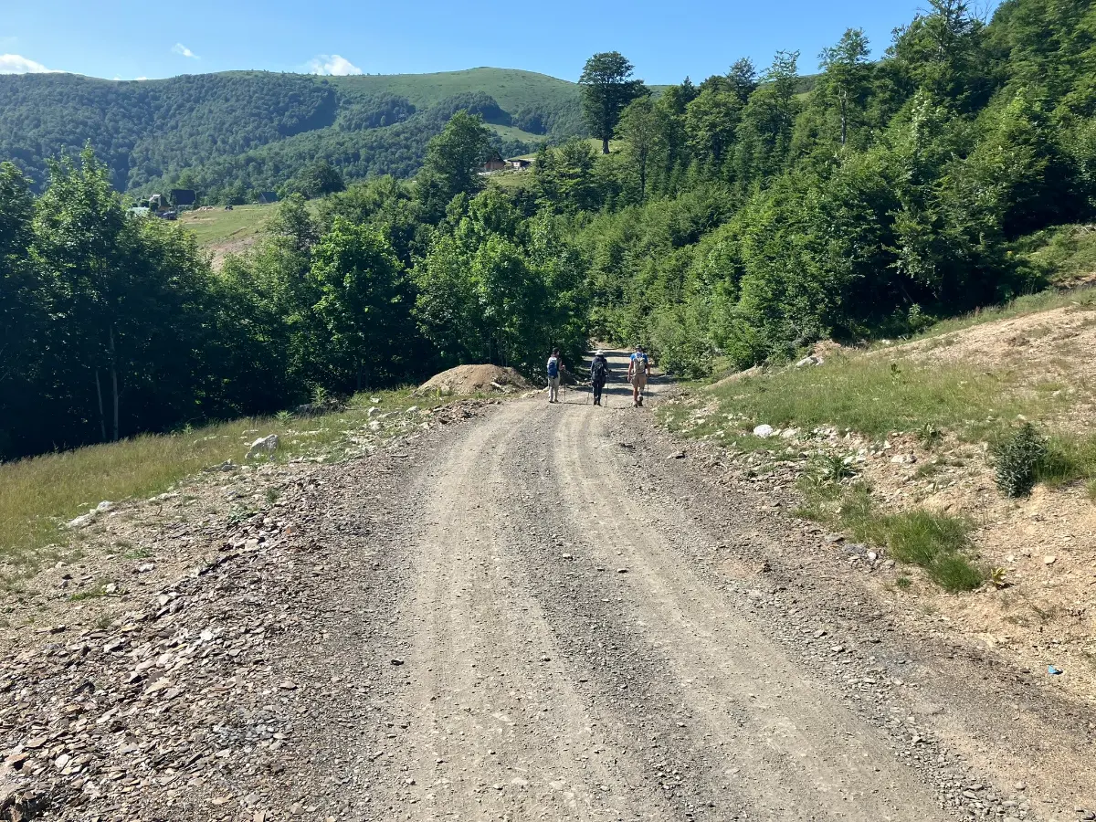
Gravel roads between the katuns and cycling routes from Bjelasica down to Kolašin and Biogradska Gora.
Mountains
Trail races of 12 to 60 kilometres through Bjelasica and Biogradska Gora, with ITRA points.
Hiking, walking and cycling routes that start here or pass nearby, with maps and GPX downloads.
A very demanding one-way hiking trail from Lubnice to the summit of Crna Glava. Length 8.3 km, total ascent 1,148 m, highest point 2,127 m a.s.l., and estimated duration 4 h 55 min without breaks.
8.3 km1,148 m4–6 h
View trail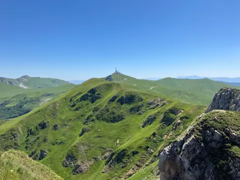
The hiking tour from Kolašin to Crna Glava is 22.9 km long with a total ascent of 1513 m. It passes through Biogradska Gora National Park, alongside lakes and peaks.
22.9 km1,513 m7½–10½ h
View trail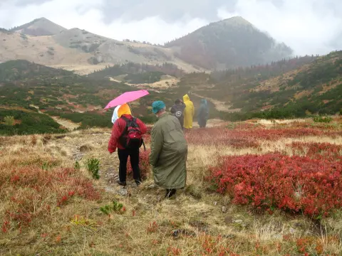
Length 32.9 km with a total ascent of 1691 m and a descent of 1225 m. A very demanding one-way tour through Biogradska Gora National Park, starting near Mojkovac.
32.9 km1,691 m2–3 days
View trail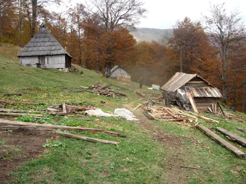
A demanding one-way cycling tour through Biogradska Gora National Park: 43.0 km, 1950 m of ascent, highest point 2094 m a.s.l. Mostly gravel road, suitable for gravel bikes.
43.0 km1,950 m5½–8 h
View trail
Montenegrin Transversal 1 is a very demanding multi-day one-way hiking tour. It is 143.3 km long, with a total ascent of 5436 m and descent of 5187 m, and passes through two national parks.
143 km5,436 m6–9 days
View trail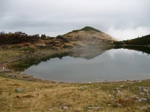
Biking Trail BA05B is an easy cycling trail in Biogradska Gora National Park, 15.1 km long. It runs mostly on gravel and forest paths, with 297 m of ascent and 1094 m of descent.
15.1 km297 m1½–2 h
View trail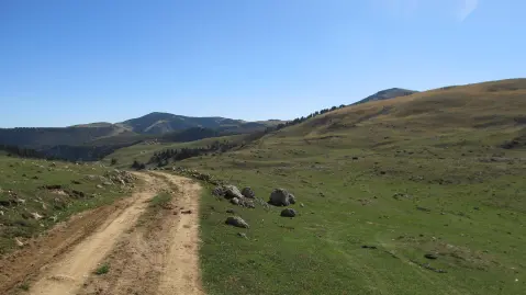
A demanding linear route of 41.4 km leads from Biogradska Gora to Komovi, crossing the Bjelasica ridges at elevations between 1,564 m and 2,094 m. It is intended for experienced hikers seeking a two- or three-day challenge in the heart of the Montenegrin mountains.
41.4 km1,496 m2–3 days
View trail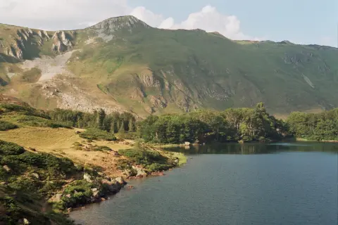
An easy one-way cycling tour 7,3 km long, with a total ascent of 722 m. It leads through Biogradska Gora National Park and ends at the Olomerska Viewpoint (1.969 m above sea level).
7.3 km722 m1½–2 h
View trailGallery
Plan your stay
Live offers from local hosts on our booking platform. Nothing is charged online — you pay the host on site.
Booking requests are confirmed by the host; payment on site. Offers come from the Travel to Montenegro booking platform.
Plan Your Visit
The mountain is open all year. Check lift and ski-centre hours on their websites.
There is no charge for the mountain itself; entry to Biogradska Gora National Park and lift passes are paid separately – check current prices with the park and the ski centres.
There is parking at the Kolašin 1450 and 1600 ski centres, at the entrance to Biogradska Gora and at the larger katuns.
The trail around Biogradsko Lake is flat and easy; the hiking trails to the ridges are not suitable for people with reduced mobility.
FAQ
Around here