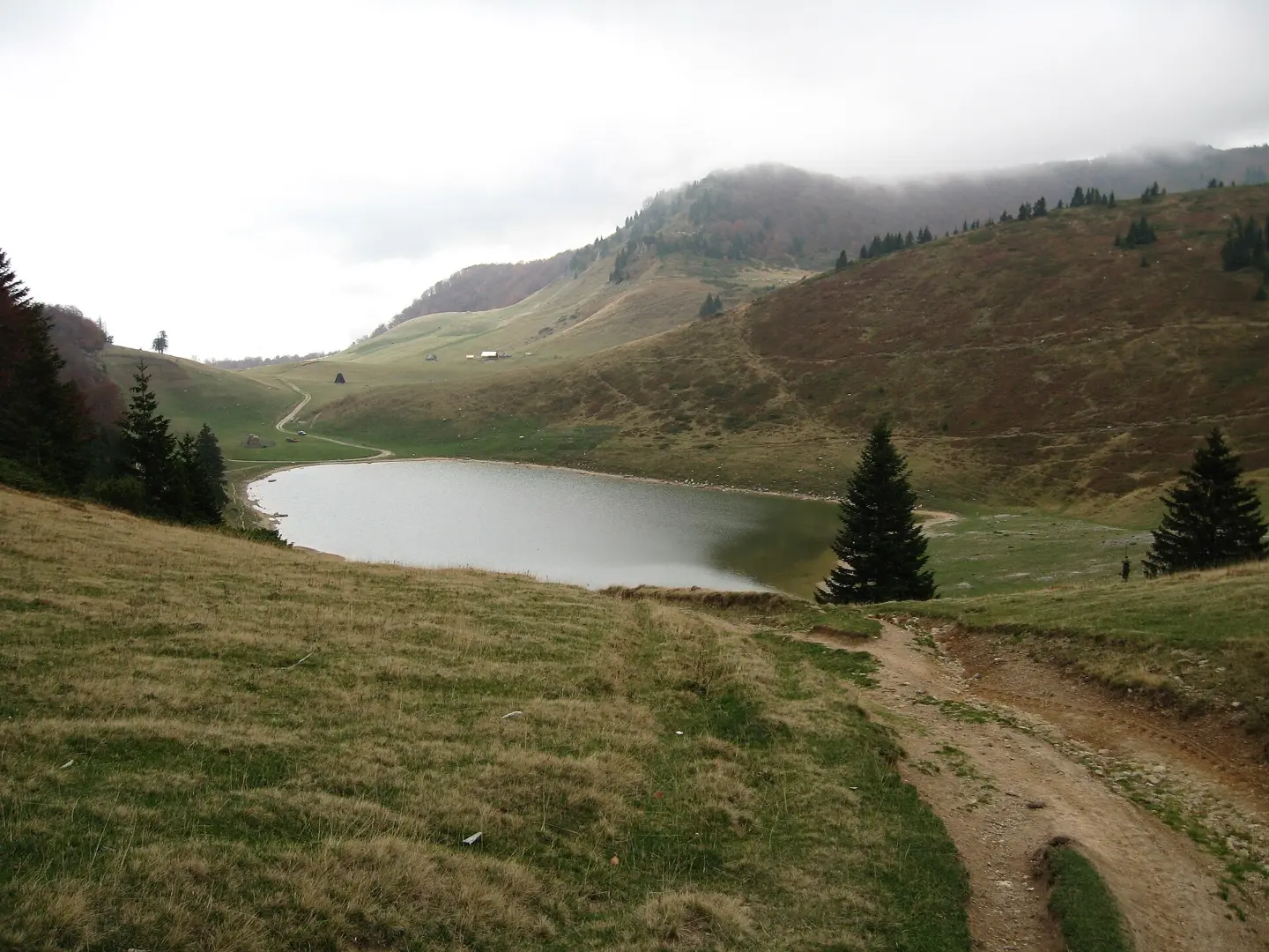
A multi-day traverse through Bjelasica and Komovi, from Mojkovac to Bindža Pass.
Official hiking trail no. 301 is 62.5 km long and connects Mojkovac with Komovi and Bindža Pass. It leads past Šiško Lake, Crna glava and Ćafa od Carina, and is intended for experienced hikers.
This multi-day hiking trail starts in Mojkovac and leads over Bjelasica and Komovi to Bindža Pass. The length of the trail is 62.5 km, total ascent 3,148 m, and descent 2,293 m. The lowest point is at 809 m above sea level, the highest at 2,158 m above sea level (Ćafa od Carina).
The route begins near the railway station in Mojkovac and climbs past the Džambas mountain hut and the Vrioca spring. After Bjelogrivac, it descends towards Šiško Lake, then continues past Ursulovačko Lake to the summit of Crna glava (2,139 m). Next are Zekova glava and a descent towards the Vranjak and Krivi Do mountain huts.
The second part of the trail leads over Trešnjevik and Štavna, then climbs steeply to Ćafa od Carina (2,158 m). The descent from Ćafa od Carina to Bindža Pass is the steepest descent on the trail. The trail is marked and open from June to November.
The tour is very demanding and intended for experienced hikers. The surface is a combination of asphalt road, dirt road and mountain trails. Resting or overnight spots along the way are Šiško Lake, Vranjak mountain hut, Trešnjevik and Štavna.
Trail data and route: Register of Hiking Trails, Mountaineering Association of Montenegro (staze.me), status as of 19.11.2026.
What this difficulty means
Very long or alpine terrain where hands may be needed, with few ways out. Only for experienced mountaineers in stable weather.
Move along the profile to follow the route on the map; switch on 3D for the terrain.
↑ 3,236 m · ↓ 2,382 m · highest point 2,158 m
Along the way
A designated resting or overnight spot according to the Register, about 15.6 km from the trailhead.
The highest peak of Bjelasica (2,139 m above sea level), at the 22.4 km mark of the trail.
The highest point of the trail at 2,158 m above sea level. Located at 53.7 km from the start, between the Komovi mountains.
A mountain hut at 1,763 m above sea level, about 29.1 km from the trailhead. A good resting or overnight point.
Accommodation and rest at 1,787 m above sea level, at the 48.5 km mark, before the last big ascent.
Plan multiple day stages and check accommodation in huts and katuns in advance.
Carry enough water.
Due to the altitude and exposed ridges, be sure to bring layered clothing, a raincoat and sun protection.
Start early in the morning, especially on sections with steep ascents.
Check the weather forecast; fog and thunderstorms are common in the mountains in summer.
Be sure to inform someone of your tour plan and expected return time.
The trail leads over high mountain passes and exposed ridges. Be sure to follow the trail markings, especially in fog. In case of bad weather, get off the ridge and avoid exposed points. The emergency number in Montenegro is 112.
Emergency number in Montenegro: 112.
Good to know
Best season
The best time to cross is from June to November, when the trail is open and the markings are visible. On higher sections, snow may persist until late spring.
Getting there
The trailhead is in Mojkovac, about 0.1 km from the railway station. Mojkovac can be reached by road or rail.
The trail is 62.5 km long and is multi-day in character.
Estimated walking time without breaks is 23 h 10 min. In the opposite direction it takes about 22 h 35 min.
The trail is very demanding and intended for experienced hikers. Its length, ascents and altitude require good fitness and planning.
Yes, the trail is marked and is open from June to November.
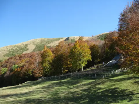
Hiking · Crno Jezero · Durmitor National Park

Hiking · Crno Jezero · Durmitor National Park
Hiking · Mojkovac
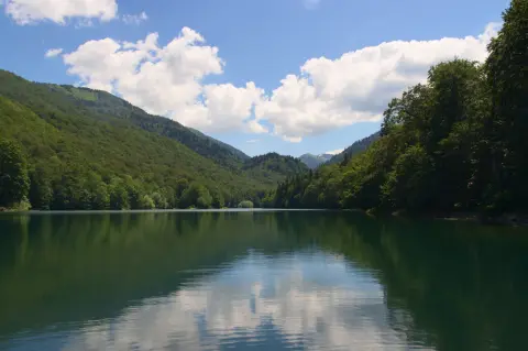
Cycling · Šiško Lake · Biogradska Gora National Park
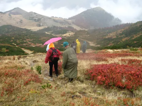
Hiking · Mojkovac · Biogradska Gora National Park
Hiking · Mojkovac
Cycling · Mojkovac
Hiking · Mojkovac
Times and grades are estimates. Conditions change: check the weather and local information before you set out. Map and data sources →

