Mountains
Hiking to the summits
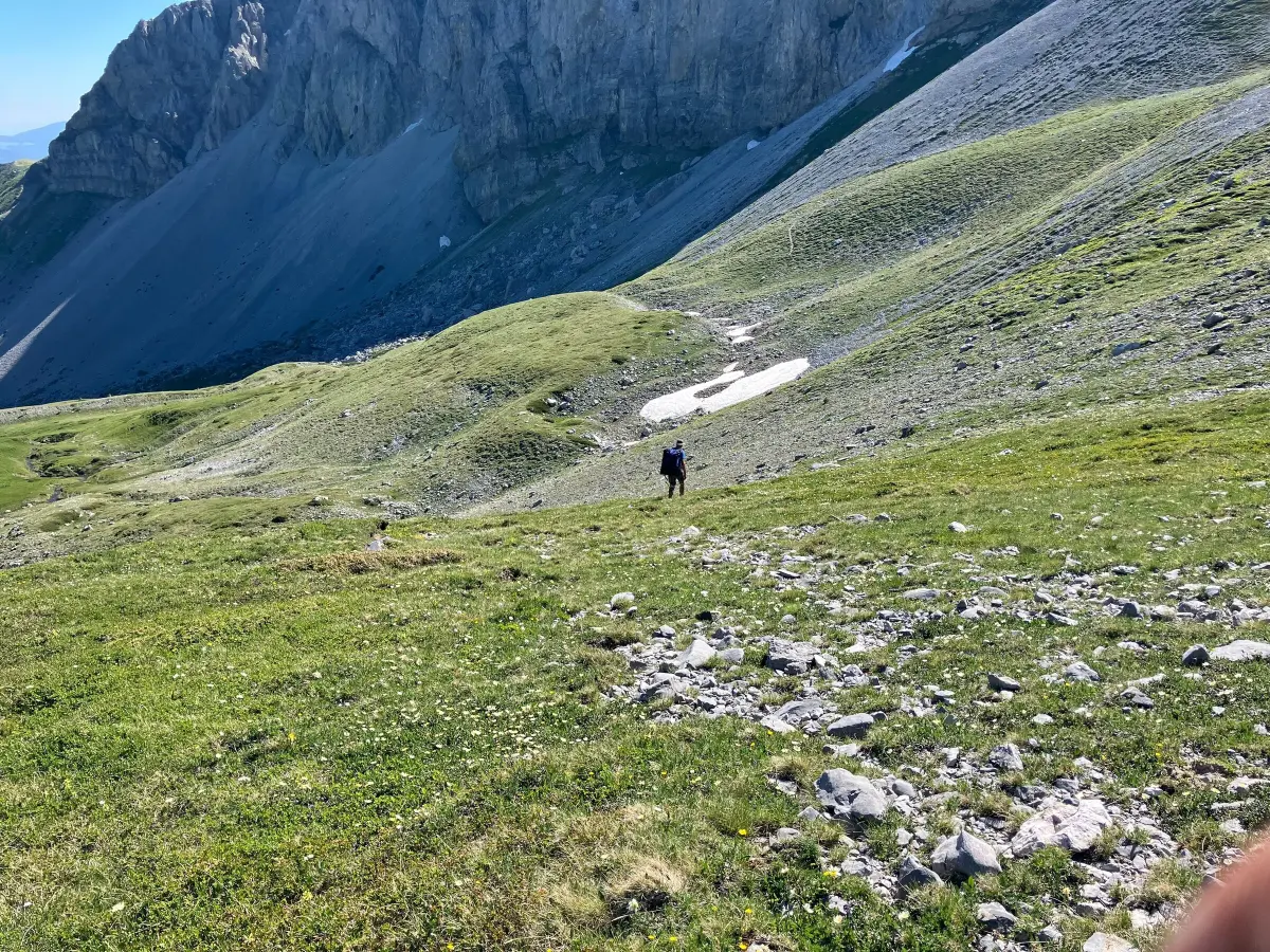
Marked trails from Štavna, Ljuban and Carine lead to all three Kom peaks.
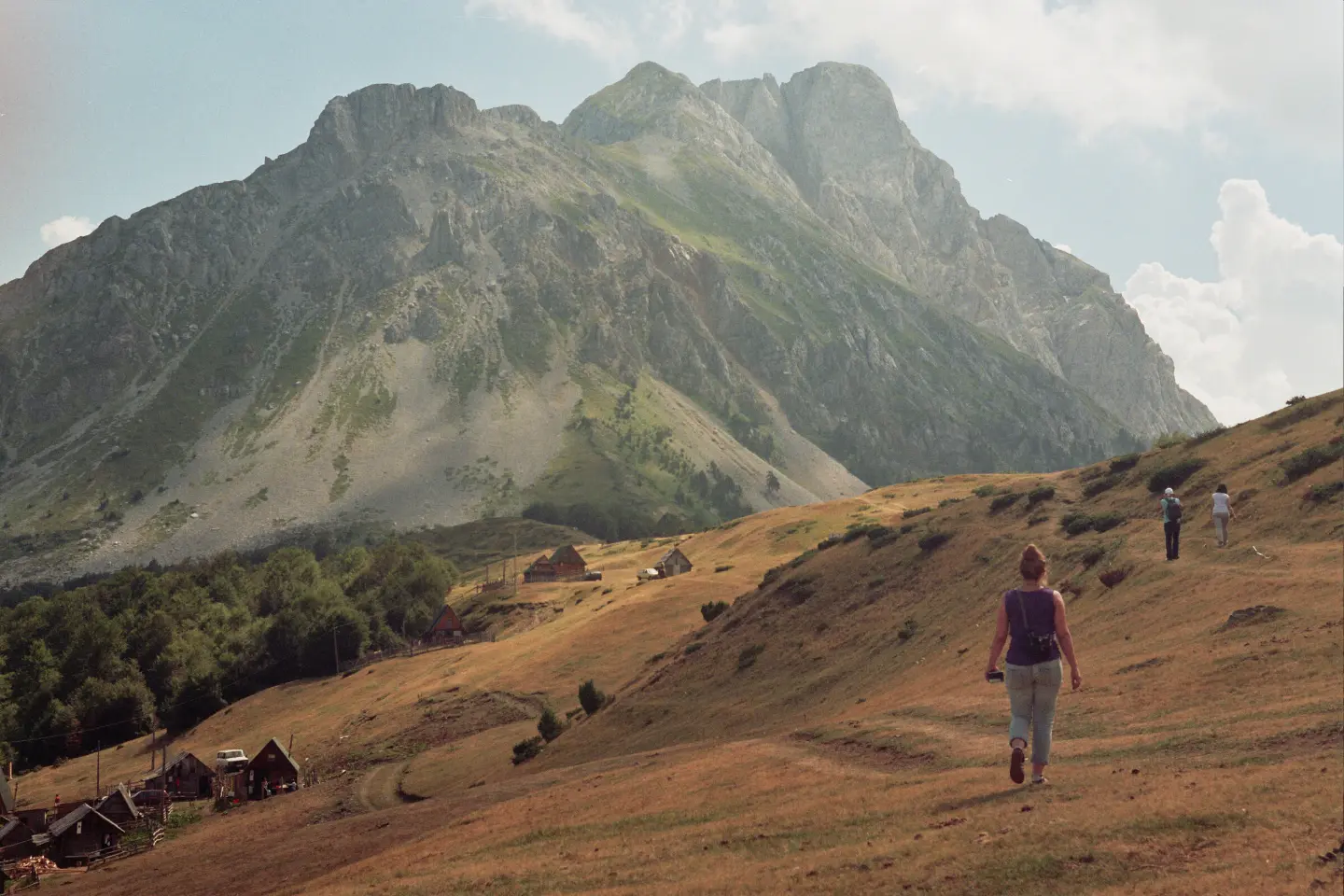
Three Kom peaks above the Štavna katun
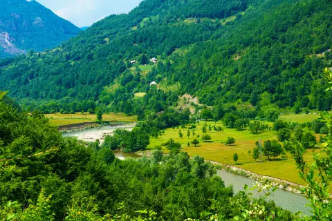
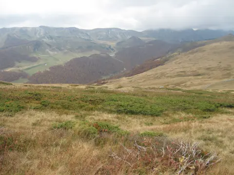
Komovi is a compact mountain massif between Bjelasica and Prokletije, where the municipalities of Andrijevica, Kolašin and Podgorica meet.
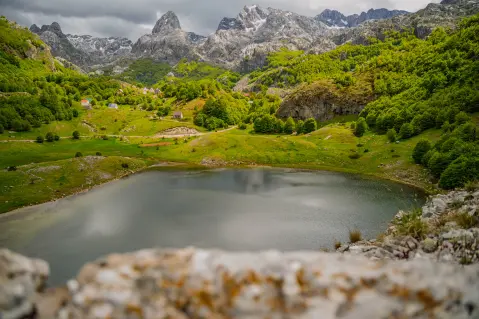
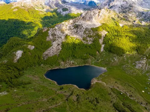
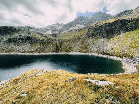
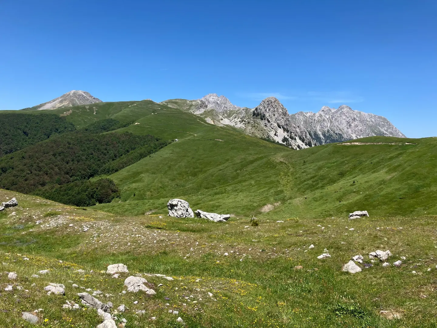
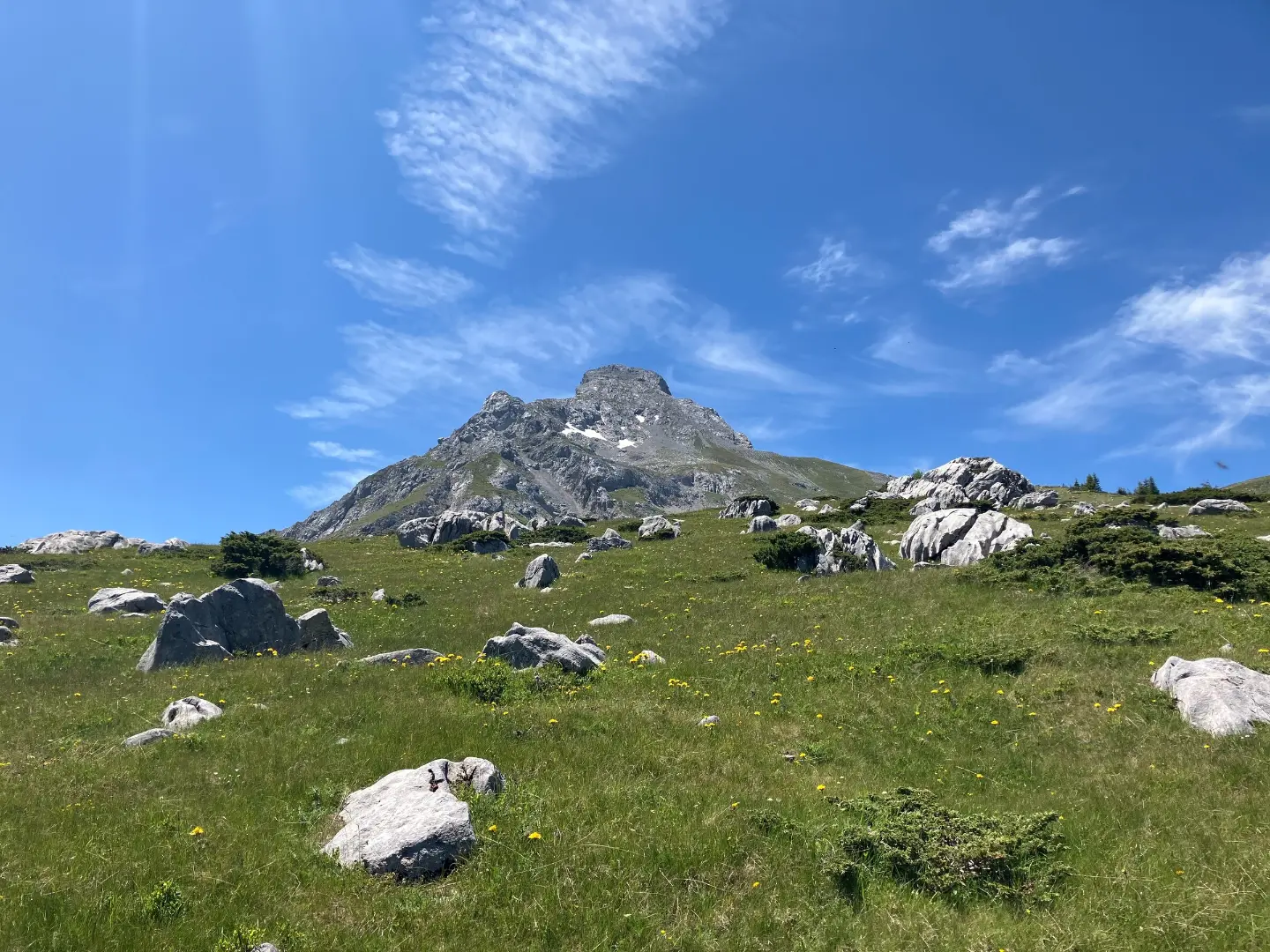
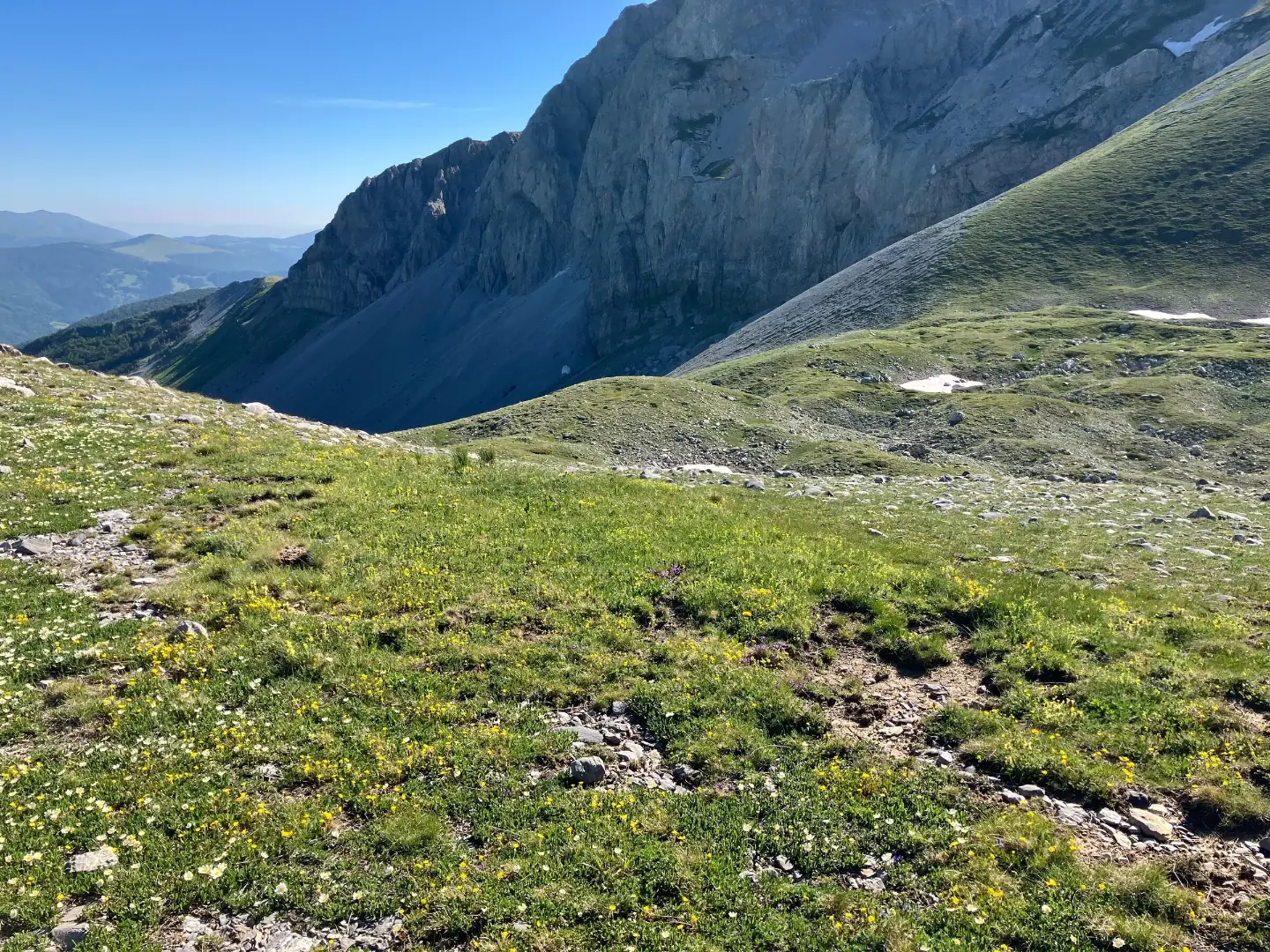
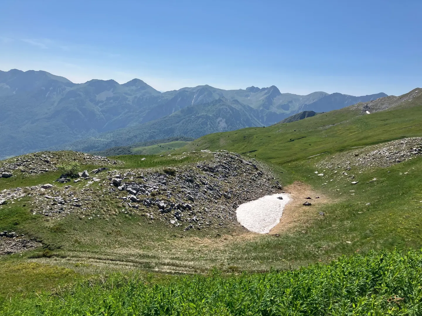
Its three main summits – Kom Kučki (2,487 m), Kom Ljevorečki (2,469 m) and Kom Vasojevićki (2,461 m) – enclose a single glacial valley, Međukomlje. Below the peaks lie the high pastures of Štavna, Ljuban, Rogam and Carine, with katuns where herders still spend the summer with their livestock. A paved road leads to Štavna over the Trešnjevik pass, which makes Komovi one of the more accessible high mountains in the country.
Highlights
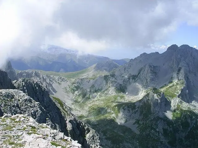
The highest summit of Komovi, and a longer, harder climb than Kom Vasojevićki. Hikers usually tackle it on their first day at Štavna, and a marked trail also runs down Međukomlje, the glacial valley between the three peaks. From the top the view reaches Prokletije, Kapa Moračka and Durmitor. There are a few exposed sections – if you are unsure, go with a local guide.
Explore More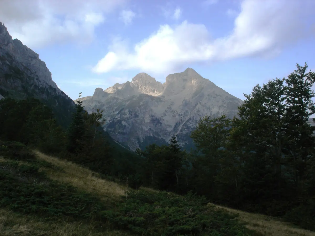
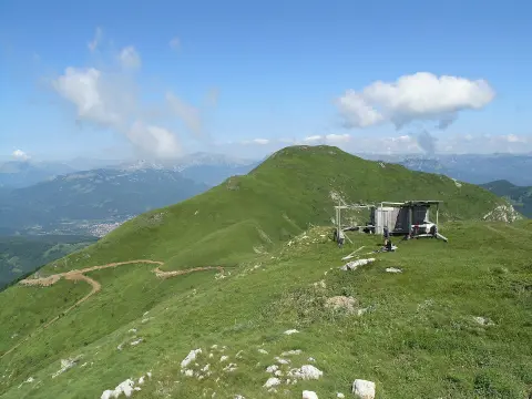
Closer and technically easier than Kučki, but just as demanding on the legs. The trail from Štavna follows the grassy southern ridge, while the northern side drops in steep, crumbling cliffs into Međukomlje. Many hikers save it for the second morning, before heading home. From the top, Crna Glava on Bjelasica looks close enough to touch.
Explore More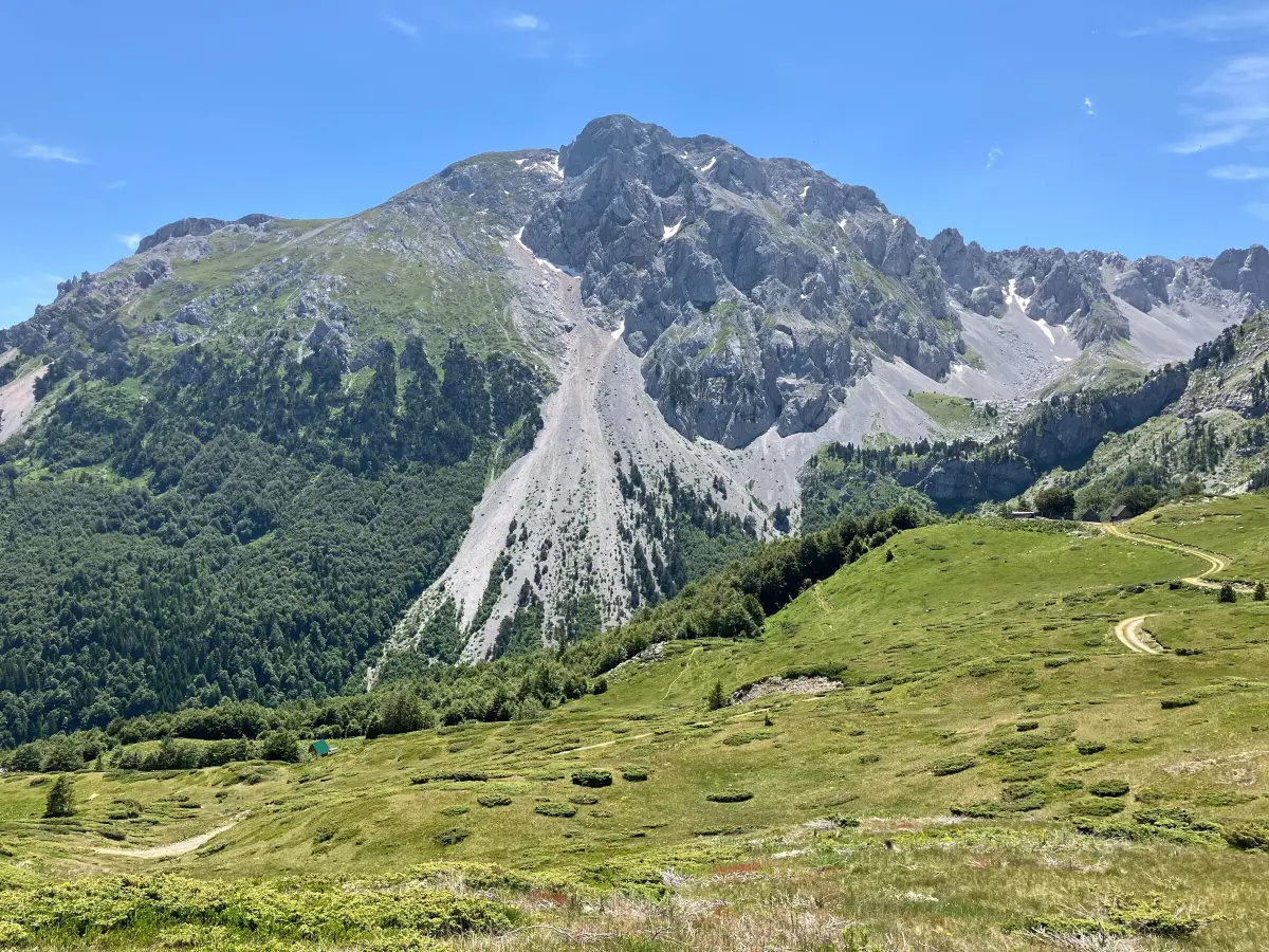
The third Kom, about 2,469 m high, rises above the Ljuban pasture on the western side of the massif. From Ljuban the climb is short, and experienced hikers combine it with Kom Kučki on the same day. Every 12 July, on St Peter's Day (Petrovdan), Ljuban hosts a gathering that brings together people from the whole area.
Explore More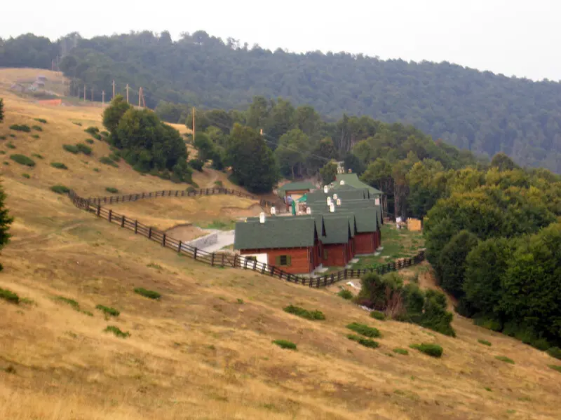
This high pasture at about 1,700 m below Kom Vasojevićki is the main starting point for Komovi. A paved road leads up from the Trešnjevik pass. Štavna has an eco-katun with wooden huts to stay in and the kind of food once eaten on the katuns, and you can hire a bike or a horse.
Explore More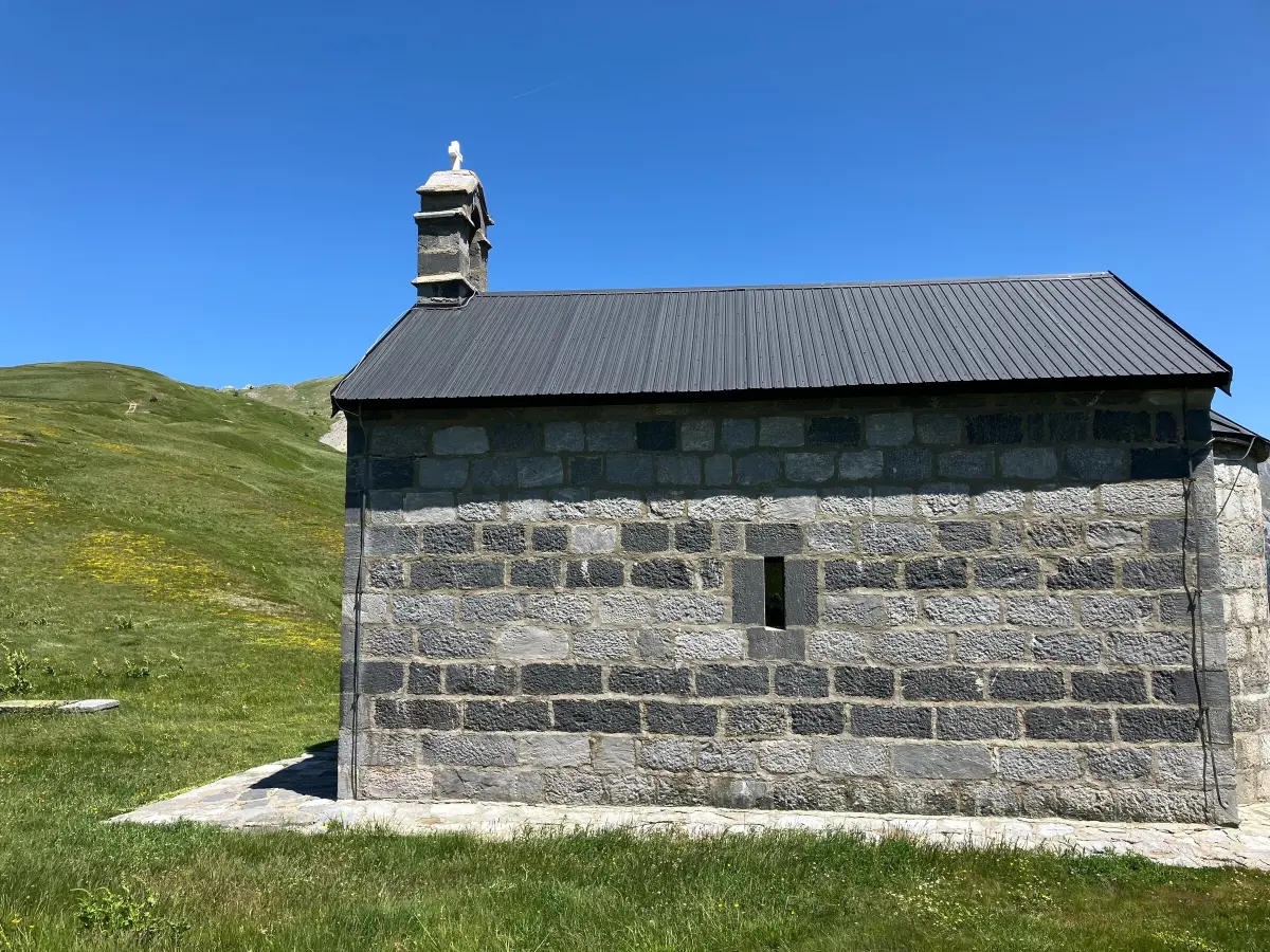
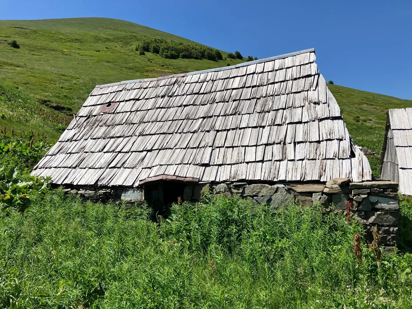
On the southern side of Komovi, beyond the saddle between two of the peaks, lie the Carine pastures – old katuns of the Kuči clan, with shingle-roofed huts and views of Mojan and Prokletije. Here too is the small Church of St Elijah, built, according to the Andrijevica Tourist Organisation, by Prince Nikola in honour of his father, Duke Mirko. Carine is harder to reach than Štavna.
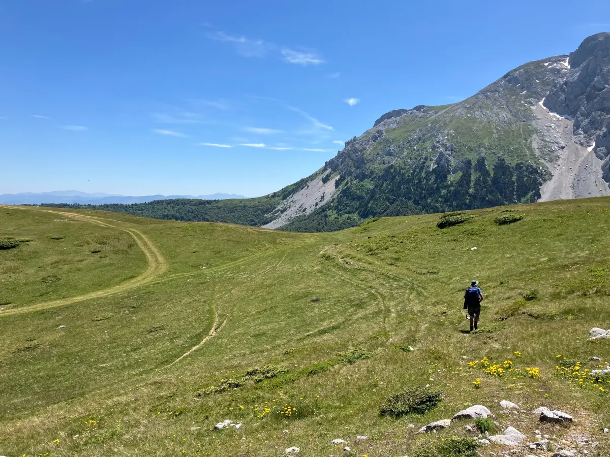
A circular trail goes all the way around the massif through pastures, forest and katuns – by our data about 15.8 km with 740 m of climbing. It starts at Štavna and suits anyone who wants to see Komovi from every side without going to the summits. The map, elevation profile and GPX are on the trail page.
Explore MoreWhat to do
Mountains
Marked trails from Štavna, Ljuban and Carine lead to all three Kom peaks.
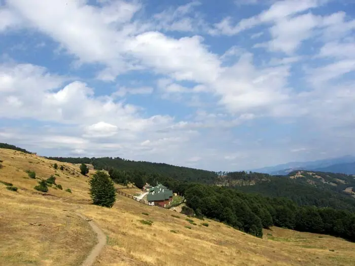
Wooden huts and home cooking at the Štavna eco-katun.
Adventure
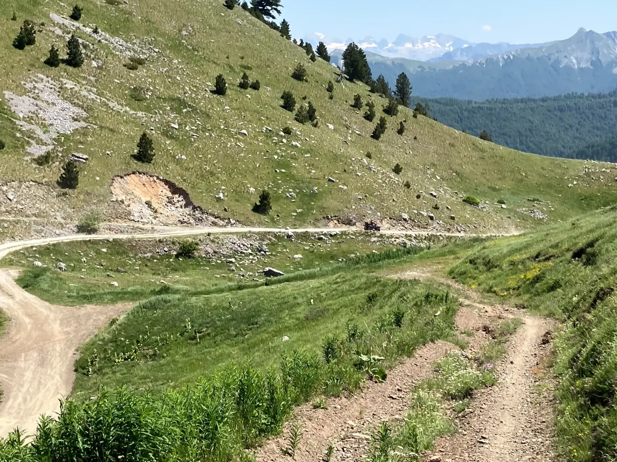
A circular cycling route from Andrijevica runs to the foot of Komovi; bikes can also be hired at Štavna.
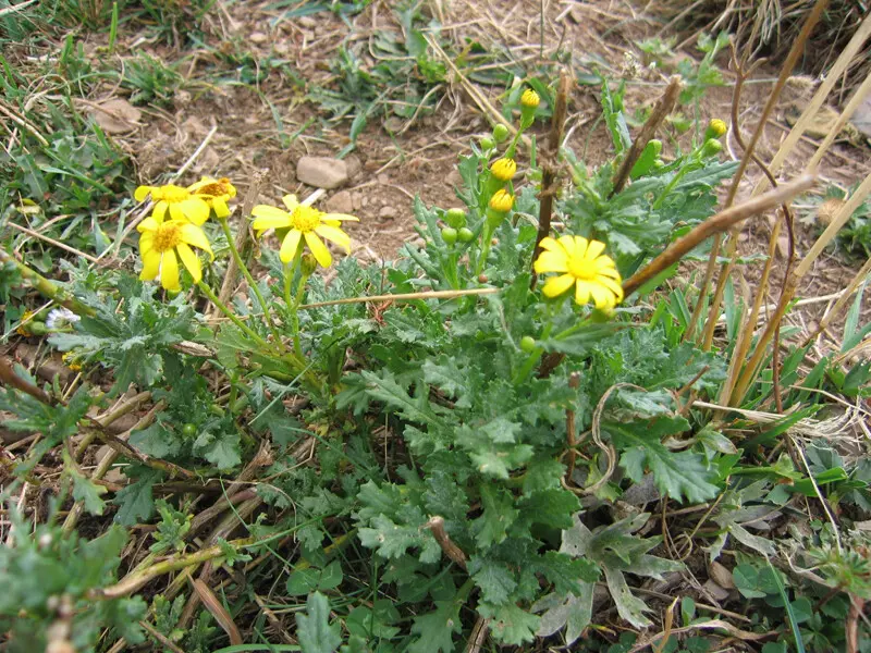
Endemic plants bloom in summer, and blueberries and wild strawberries grow in the woods below the pastures.
Hiking, walking and cycling routes that start here or pass nearby, with maps and GPX downloads.

Montenegrin Transversal 1 is a very demanding multi-day one-way hiking tour. It is 143.3 km long, with a total ascent of 5436 m and descent of 5187 m, and passes through two national parks.
143 km5,436 m6–9 days
View trail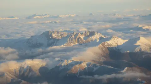
Demanding one-way tour, 5.0 km long, from the Kom Kučki area to Štavna. Total descent 679 m, ascent 56 m; duration approximately 2 h 10 min without breaks.
5.0 km56 m2–2½ h
View trail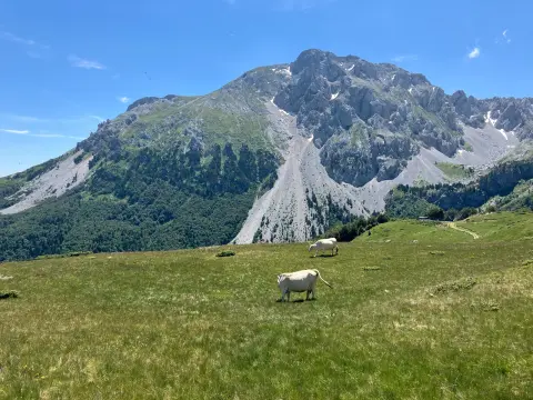
The hiking trail from Ljuban to the summit of Kom Ljevorečki (Kraljski Kom) is 2,4 km long, with an ascent of 606 m. The estimated walking time without breaks is about 2 hours and 20 minutes, and the difficulty is moderate.
2.4 km606 m2–3 h
View trail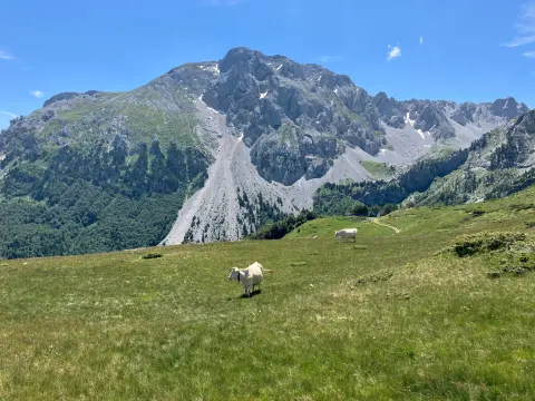
An easy one-way hiking trail from Međukomlje to Ljevorečki Kom. It is 1.4 km long, with 69 m of ascent and 64 m of descent, and takes about 30 min to walk.
1.4 km69 m25–35 min
View trail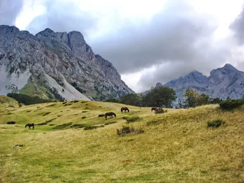
A trail 15.8 km long, with a total ascent of 740 m, leading through forested and earthen terrain, past springs, viewpoints, and huts. The estimated walking time without breaks is 5 h 55 min; the route is demanding and goes in one direction.
15.8 km740 m5–7 h
View trail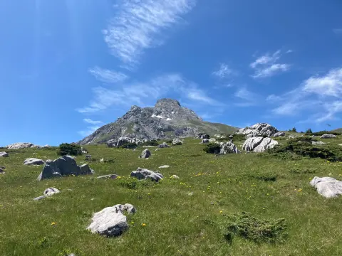
The one-way hiking trail from Štavna to Pajkov Vir is 8.2 km long. With 347 m of ascent and 332 m of descent, it mostly follows a dirt and forest trail, with springs and camps along the route.
8.2 km347 m2½–3½ h
View trail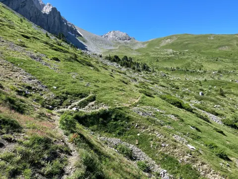
Demanding one-way mountaineering route 15.2 km long. The highest point is at 1,873 m a.s.l., the lowest at 1,325 m a.s.l.; mostly on gravel road.
15.2 km364 m4½–6 h
View trail
A 6.1 km trail leads upward from Štavna to Vaspjevićki Kom (2,437 m a.s.l.) with a total ascent of 830 m. It is intended for experienced hikers and passes a spring, a campsite, and a shelter.
6.1 km830 m3–4½ h
View trailGallery
Plan Your Visit
Parking
Leave the car at Štavna, by the katun, or at Ljuban.
The mountain is open all year; in winter the road to Štavna may be under snow.
There is no charge to visit the mountain. Arrange accommodation and meals on the katuns directly with the hosts.
Trails to the summits are steep and rocky and not suitable for people with reduced mobility; Štavna itself can be reached by car.
FAQ
Around here