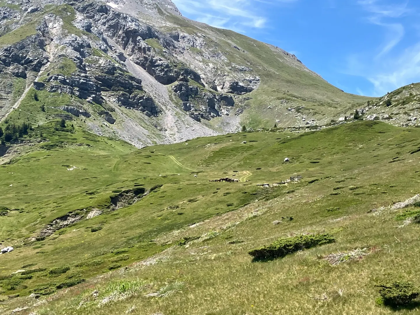
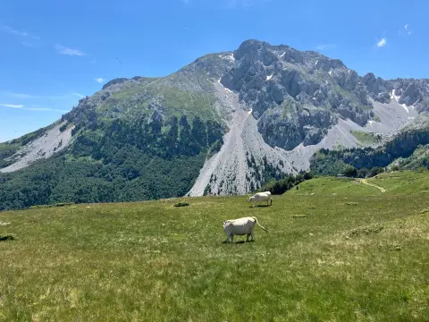
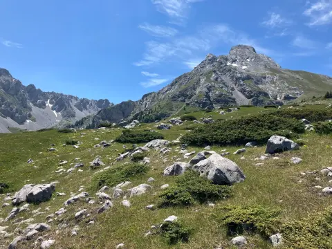
A short and easy hiking trail on a gravel road between Međukomlje and Ljevorečki Kom.
An easy one-way hiking trail from Međukomlje to Ljevorečki Kom. It is 1.4 km long, with 69 m of ascent and 64 m of descent, and takes about 30 min to walk.
This short and easy hiking trail connects Međukomlje and Ljevorečki Kom. It runs in one direction and follows a gravel road for its entire length, making the terrain straightforward and easy to navigate.
The trail length is 1.4 km. The total ascent is 69 m and the total descent is 64 m. The lowest point of the trail is at 1,772 m a.s.l., and the highest point is at 1,847 m a.s.l. Since the elevation difference is small, the estimated walking time without breaks is only 30 minutes.
The trail is rated as easy and is suitable for most hikers, including those with a basic level of fitness. There are no technically demanding climbs on this short stretch, and the gravel surface provides stable footing.
Nevertheless, the trail is located at an altitude above 1,700 m, where weather conditions can change quickly. Check the forecast before setting out, bring layered clothing and enough water.
What this difficulty means
Well-made paths with gentle gradients. Fine for families and anyone used to walking a few hours.
Move along the profile to follow the route on the map; switch on 3D for the terrain.
↑ 69 m · ↓ 64 m · highest point 1,847 m
The starting point of the trail.
The ending point of the trail.
The trail follows a gravel road for its entire length.
The total ascent is 69 m and the total descent is 64 m.
The trail runs from 1,772 m to 1,847 m a.s.l.
Check the weather forecast before setting out.
Bring enough water and a snack.
Wear comfortable footwear suitable for gravel roads.
At altitudes above 1,700 m, bring layered clothing.
The trail is easy, but is located at an altitude of 1,772 m to 1,847 m a.s.l., where the weather can change quickly. Bring layered clothing and monitor weather conditions. In case of an emergency, call 112.
Emergency number in Montenegro: 112.
Good to know
Best season
The best period for this tour is from late spring to early autumn. At altitudes above 1,700 m, snow can persist until late spring.
Getting there
The starting point of the trail is Međukomlje. The ending point is Ljevorečki Kom.
The trail length is 1.4 km.
The estimated walking time without breaks is 30 minutes.
The total ascent is 69 m, and the total descent is 64 m.
No, the trail is one-way, from Međukoml to Ljevorečki Kom.

Hiking · Crno Jezero · Durmitor National Park

Hiking
Hiking
Hiking

Hiking
Hiking
Hiking
Hiking
Times and grades are estimates. Conditions change: check the weather and local information before you set out. Map and data sources →

