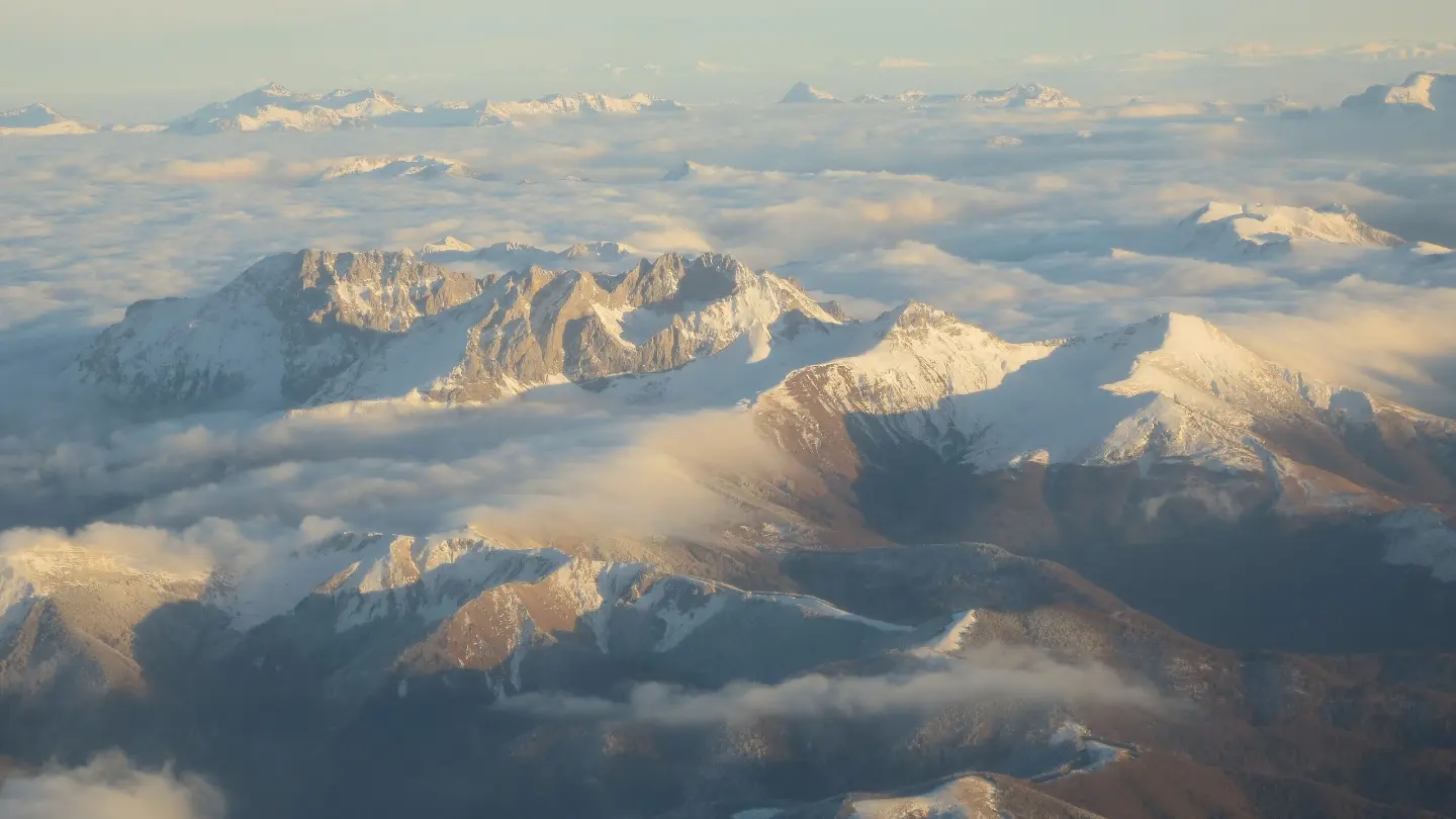
Demanding hiking from a highland plateau to one of the highest peaks of the Komovi mountains.
A 6.1 km trail leads upward from Štavna to Vaspjevićki Kom (2,437 m a.s.l.) with a total ascent of 830 m. It is intended for experienced hikers and passes a spring, a campsite, and a shelter.
The trail starts at Štavna at an altitude of 1,605 m and climbs almost exclusively uphill – the total descent is only 12 m. As early as 1.1 km from the start, the trail passes by the peak of Razvrše (1,784 m a.s.l.), and a little further on, at 2.0 km, there is the memorial spring dedicated to Vučević Zoran (1,767 m a.s.l.) where it is possible to replenish water supplies.
At 3.2 km from the start there is a campsite (1,779 m a.s.l.), and at 3.8 km a shelter at 1,828 m a.s.l. – useful reference points on the long ascent. From the shelter the terrain becomes increasingly rocky and demanding, and the trail climbs steeply toward the summit.
The surface is mixed: gravel road (47%), rocky terrain (38%), and asphalt/concrete (15%). The end point of the trail is at 2,437 m a.s.l., near which is also the peak of Kom vasojevićki (Božićki Kom) at 2,461 m a.s.l.
The trail is classified as very demanding (SAC T5) and is recommended exclusively for experienced hikers in good physical condition, with appropriate equipment and experience moving on steep and rocky terrain.
What this difficulty means
Very long or alpine terrain where hands may be needed, with few ways out. Only for experienced mountaineers in stable weather.
Mountain hiking grade SAC T5 (scale T1–T6).
Places on this route
Move along the profile to follow the route on the map; switch on 3D for the terrain.
↑ 830 m · ↓ 12 m · highest point 2,437 m
Along the way
The first significant point on the trail, reached as early as 1.1 km from the starting point.
At 2.0 km from the start and an altitude of 1,767 m a.s.l., there is a spring with drinking water – a good opportunity for a short rest.
At 3.2 km from the start there is a campsite, useful for planning a multi-day stay in this area.
At 3.8 km from the start there is a shelter that can serve as refuge in the event of a sudden change in weather.
An imposing peak in the immediate vicinity of the trail's end point, at 6.1 km from the starting point.
Bring enough water, even though the trail has a spring – there are no confirmed water sources at the higher sections.
Set off early in the morning to avoid afternoon thunderstorms, which are common on high mountains.
Mountain footwear with a stiff sole is mandatory – the terrain is steep with a rocky surface.
Wear warm and windproof clothing; the temperature at altitudes above 2,000 m can be significantly lower than in the valley.
The trail goes in one direction – arrange transport or a return from the end point in advance.
Estimate your walking time realistically: 3 h 35 min without breaks requires good physical preparation.
Terrain above 2,000 m a.s.l. can be exposed to sudden weather changes, fog, and thunderstorms, especially in the afternoon hours. Do not continue ascending in the event of a thunderstorm and always inform someone of your route plan. In case of emergency, call 112.
Emergency number in Montenegro: 112.
Good to know
Best season
The trail is accessible mainly from June to October, depending on snow conditions. At altitudes above 2,000 m, snow may persist into May and return in October.
Getting there
The starting point of the trail is Štavna. The nearest larger town is Andrijevica, about 8.5 km from the trail, from where arrival by car can be arranged.
The trail is 6.1 km long and goes in one direction, with a total ascent of 830 m.
The estimated walking duration without breaks is 3 h 35 min. With breaks, more time should be allowed.
The trail is rated as very demanding and classified in SAC category T5. It is intended exclusively for experienced hikers.
Given the altitude (starting point 1605 m, destination 2437 m), the trail is most passable from June to September, when the mountains are free of snow.
Cycling · Šiško Lake · Biogradska Gora National Park

Hiking · Crno Jezero · Biogradska Gora National Park
Hiking
Cycling · Andrijevica
Cycling · Andrijevica
Hiking · Šiško Lake · Biogradska Gora National Park
Hiking · Andrijevica
Hiking
Times and grades are estimates. Conditions change: check the weather and local information before you set out. Map and data sources →

