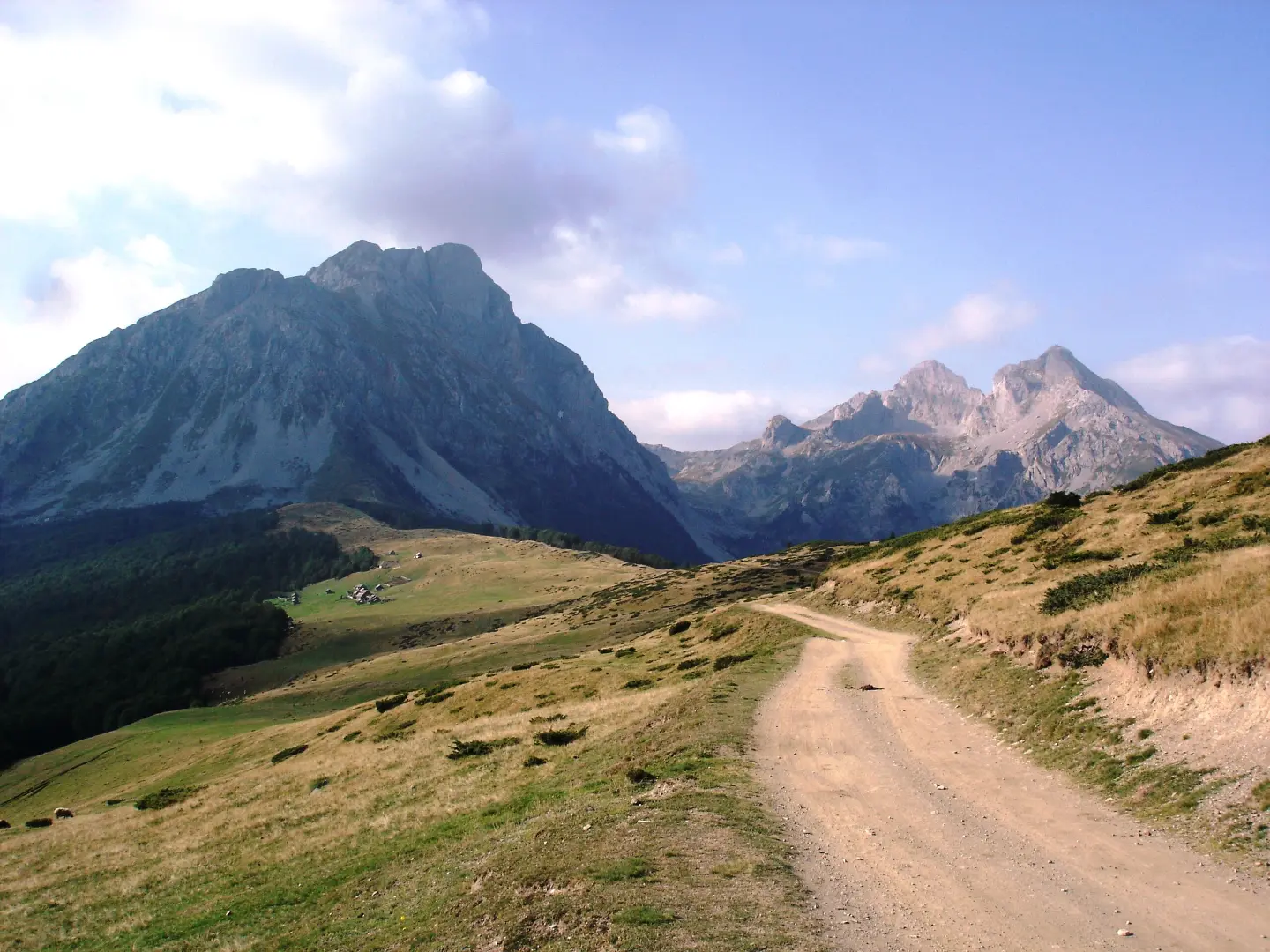
Challenging hiking tour from Andrijevica to Komovi with 1061 m of ascent, via Mali krš and Dubačke glave.
The challenging one-way mountain hike from Andrijevica to Komovi is 14.6 km long, with a total ascent of 1061 m and descent of 68 m, and an estimated duration without breaks of 5 h 30 min. It leads from 783 m a.s.l. to 1780 m a.s.l., past Mali krš, Dubačke glave and a mountain hut.
The trail starts in Andrijevica, at about 783 m a.s.l., and parking is located right next to the trailhead. After approximately 4.0 km you reach the Mali krš summit (1179 m a.s.l.), and the trail then climbs towards Dubačke glave (1651 m a.s.l.) at 11.0 km.
The surface is mostly macadam (51%) and asphalt/concrete (42%), with a smaller part consisting of earth/forest trail (7%). Although most of the route is on hard surface, the hike has a total ascent of 1061 m and a small descent of 68 m, making it overall challenging.
At 14.2 km there is a mountain hut/lodge “Koliba PSD Železničar - Beograd” at 1725 m a.s.l. In the final section there are springs, including Kamenička voda at 1713 m a.s.l., and at 14.6 km there is a camp at 1779 m a.s.l. The trail ends near the highest point of 1780 m a.s.l.
What this difficulty means
Steep, rocky or exposed passages and a long day out. For fit, sure-footed hikers with mountain experience.
Places on this route
Move along the profile to follow the route on the map; switch on 3D for the terrain.
↑ 1,061 m · ↓ 68 m · highest point 1,780 m
Along the way
Summit at 4.0 km from the trailhead, at 1179 m a.s.l.
Summit at 11.0 km from the start, at 1651 m a.s.l.
Mountain hut/lodge at 14.2 km from the start, at 1725 m a.s.l.
Drinking water spring at 13.5 km from the start, at 1713 m a.s.l.
Camp at 14.6 km from the start, near the highest point of the trail.
Bring enough water and food; although there are springs along the trail, the hike is challenging and long.
Start early in the morning – the estimated duration without breaks is 5 h 30 min, and the trail is one-way.
Wear sturdy hiking footwear and dress in layers; the surface is partly macadam and earth/forest trail.
Check the weather forecast; above 1700 m the weather can change quickly.
Bring a charged phone and, if needed, an external battery, because the signal in the mountain area can be weak.
In the mountain area, fog, thunderstorms and sudden weather changes are possible. Follow the forecast and do not set off in a storm. Due to its length and ascent, the hike is challenging; in an emergency, call 112.
Emergency number in Montenegro: 112.
Good to know
Best season
The best period for this tour is from late spring to early autumn. At altitudes above 1700 m in the colder months there may be snow and ice.
Getting there
The trailhead is near Andrijevica, about 0.2 km from the nearest place. Parking is located right next to the trailhead (0.0–0.1 km).
The Andrijevica – Komovi trail is 14.6 km long and runs one way.
The estimated duration without breaks is 5 h 30 min.
The trail is demanding, with a total ascent of 1061 m and a descent of 68 m.
The lowest point is 783 m above sea level, and the highest is 1780 m above sea level.
Cycling · Andrijevica
Cycling · Andrijevica
Cycling · Andrijevica
Cycling · Andrijevica
Hiking · Andrijevica · Prokletije National Park
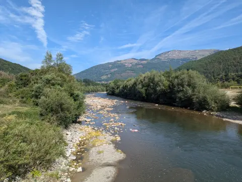
Cycling · Andrijevica
Cycling · Andrijevica
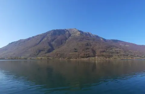
Hiking · Andrijevica
Times and grades are estimates. Conditions change: check the weather and local information before you set out. Map and data sources →

