An easy circular cycling ride around Andrijevica, 6.9 km long, with three drinking fountains.
The Seoce circular cycling trail around Andrijevica is 6.9 km long and has an asphalt-concrete surface. With 164 m of total ascent and an estimated duration of 35 minutes, the trail is easy and suitable for recreational riding.
The Seoce circular cycling trail starts and ends in Andrijevica. It is 6.9 km long, and riding without stops takes about 35 minutes. The trail is named Seoce and runs along asphalt or concrete for its entire length.
The lowest point is at 734 m above sea level, and the highest is at 855 m. The total ascent is 164 m, while the total descent is 166 m, which classifies the route as an easy trail. At 0.9 km, 2.7 km, and 3.3 km from the start there are fountains with drinking water.
Due to its short length, gentle climbs, and asphalt-concrete surface, the trail is suitable for recreational riders, family rides, and anyone looking for a shorter ride around Andrijevica.
What this difficulty means
Mostly flat or gentle riding on good surfaces. Fine for occasional riders and families.
Places on this route
Move along the profile to follow the route on the map; switch on 3D for the terrain.
↑ 164 m · ↓ 166 m · highest point 855 m
Drinking water at 786 m above sea level, near the start of the trail.
Drinking water at 747 m above sea level.
Drinking water at 803 m above sea level.
Total ascent is 164 m and descent is 166 m; the highest point is at 855 m above sea level.
Wear a helmet and appropriate cycling gear.
There are drinking fountains on the trail, but bring a water reserve as well.
Check the weather forecast and set off earlier in summer.
Obey traffic regulations and be careful on the asphalt-concrete surface.
Wear a helmet and obey traffic regulations. In case of bad weather or an accident, call 112.
Emergency number in Montenegro: 112.
Good to know
Best season
The most pleasant riding is from late spring to early autumn. In summer, set off earlier to avoid the heat.
Getting there
The start of the trail is reached from Andrijevica, about 0.4 km away. The trail is circular, so it ends at the same place.
The trail is 6.9 km long and is circular in shape.
The estimated duration without stops is about 35 minutes.
The trail is easy, with a total ascent of 164 m and a descent of 166 m.
Starts and ends in Andrijevica; the starting point is about 0.4 km from Andrijevica.
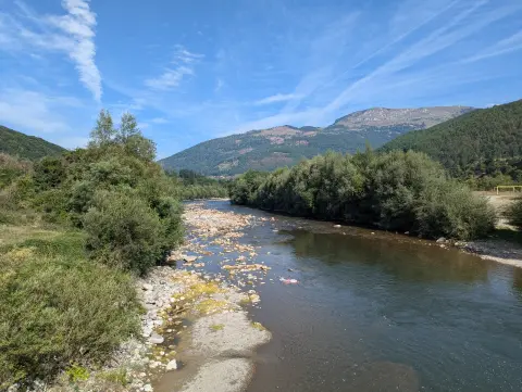
26.9 km↑ 450 m2–2½ h
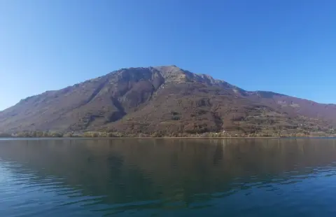
24.6 km↑ 2,054 m2–3 days
28.2 km↑ 879 m3–4½ h
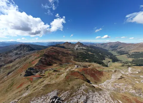
56.8 km↑ 3,721 m3–4 days
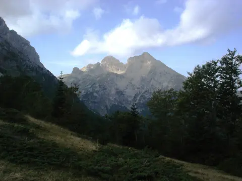
41.0 km↑ 1,242 m4½–6½ h
Loop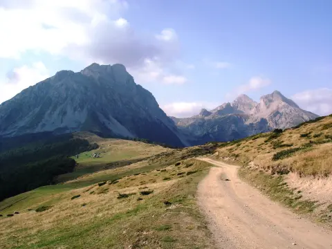
14.6 km↑ 1,061 m4½–6½ h
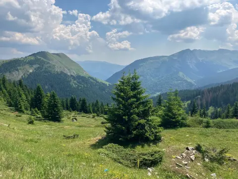
61.3 km↑ 1,755 m6½–9 h
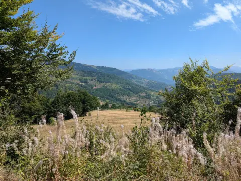
44.2 km↑ 1,188 m3½–5 h
LoopTimes and grades are estimates. Conditions change: check the weather and local information before you set out.

Ask about Montenegro
Ask me about destinations, restaurants or activities.
