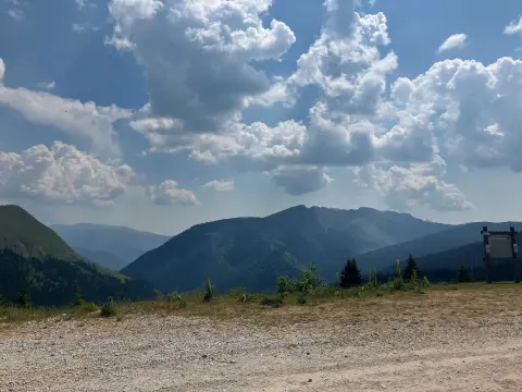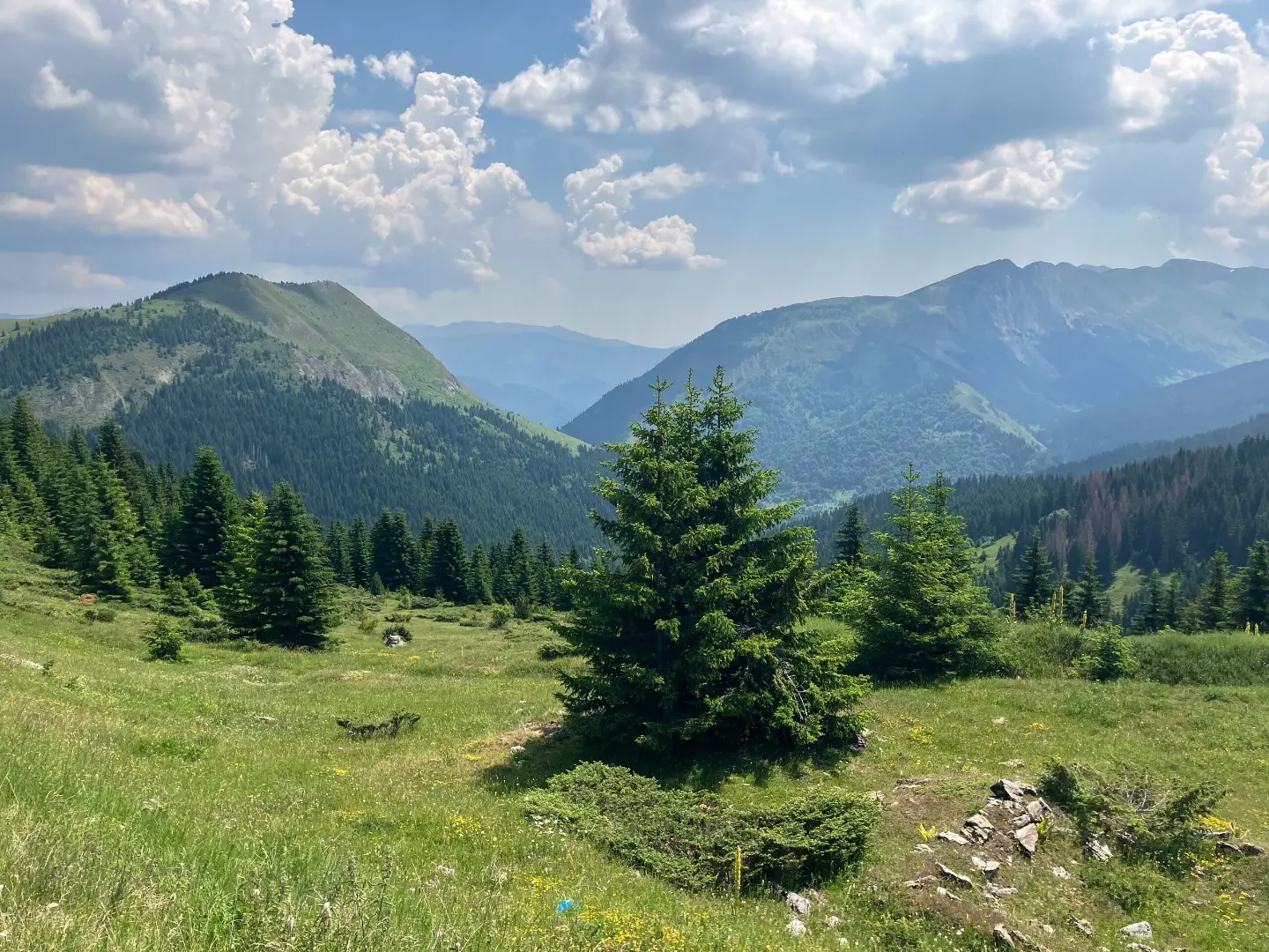
A demanding cycling route from Čakor pass to Andrijevica, with a mix of asphalt and gravel road.
A one-way cycling route of 61.3 km with 1755 m of ascent and 2844 m of descent. It leads from Čakor pass, passes by peaks and water springs, and approaches Andrijevica; mostly asphalt/concrete, partly gravel road.
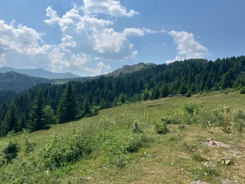
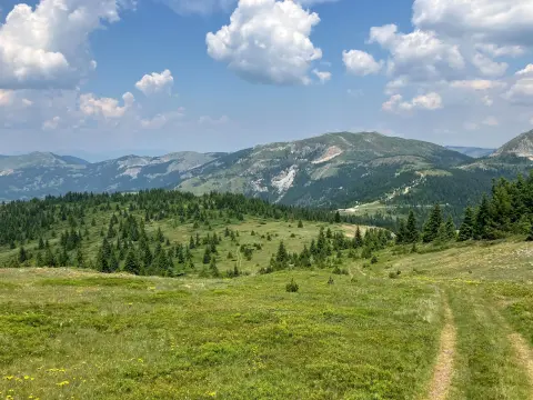
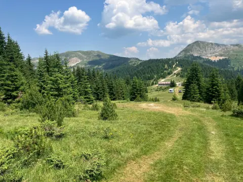
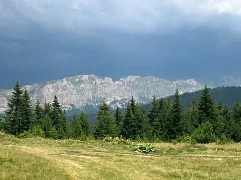
The route starts at Čakor pass (1859 m a.s.l.) and leads through mountain landscapes along the border ridges. In the first few kilometres it passes by Čakor camp, then climbs and descends towards the peaks Kunj and Kamljeva glava. At around 26 km it reaches a shelter, and later passes by numerous water springs, including Mićanova česma and Kameno korito, and by the peak Sokolova glava, all the way to a viewpoint in the second part of the route.
The surface is predominantly asphalt/concrete (74%) with sections of gravel road (22%), which requires endurance and a well-maintained bicycle. The total ascent is 1755 m and the total descent 2844 m; the highest point is at 1931 m a.s.l. and the lowest at 743 m a.s.l. The route is not circular, so a return trip or alternative transport needs to be planned.
The route is intended for more experienced cyclists due to its length (61.3 km) and elevation difference. The estimated riding time without breaks is 7 h 35 min. Further along it approaches Andrijevica; nearby are Plav (7.9 km) and Plavsko jezero (8.9 km).
What this difficulty means
Long distances, big climbs or technical sections. For fit, experienced riders.
Places on this route
Move along the profile to follow the route on the map; switch on 3D for the terrain.
↑ 1,755 m · ↓ 2,844 m · highest point 1,931 m
Along the way
Photos and short clips from points along the route — tap one to open it.
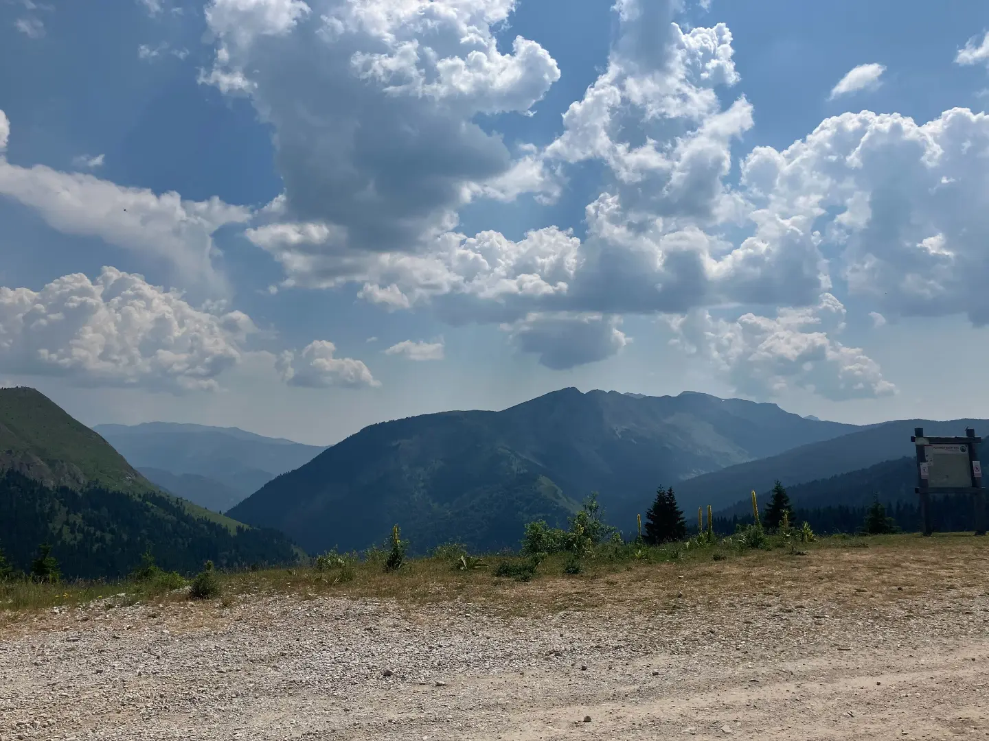
The starting point of the route at 1859 m a.s.l., a high-mountain pass with a bus stop.
A camp at 1763 m a.s.l., located 1.6 km from the start of the route.
Two peaks alongside the route: Kunj (1615 m) at 18.7 km and Kamljeva glava (1680 m) at 20.0 km.
A shelter point at 26.3 km from the start, useful for a rest or to take cover.
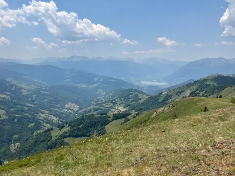
A view from the viewpoint at 52.4 km from the start, in the final section of the route.
Check the weather forecast before setting off, as at altitudes of up to 1931 m a.s.l. the weather changes quickly.
Bring enough water and food, even though there are several water springs along the route.
Use a bicycle suited to mixed surfaces (asphalt/concrete and gravel road) and check the tyres and brakes.
Start early in the morning — the estimated riding time without breaks is 7 h 35 min, and the route is not circular.
Bring basic tools, a pump and a spare tyre; mobile signal on mountain sections may be weak.
At high elevations the weather can deteriorate quickly. During fog or thunderstorms, avoid exposed ridges and passes. For emergencies in Montenegro, call 112.
Emergency number in Montenegro: 112.
Good to know
Best season
The most suitable time for riding is from late spring to early autumn, when the mountain passes are generally passable and free of snow.
Getting there
The starting point is at Čakor pass, where a bus stop is located.
The route is 61.3 km long and runs in one direction.
The estimated duration without breaks is 7 h 35 min.
The trail is rated as demanding, with a total ascent of 1755 m and a descent of 2844 m.
Asphalt/concrete makes up 74% of the surface, and gravel road 22%.
52.1 km↑ 3,118 m3–4 days
93.5 km↑ 3,250 m4–5 days
14.0 km↑ 1,030 m6–8 h
3.6 km↑ 52 m60–85 min
10.4 km↑ 538 m3½–5 h
2.4 km↑ 151 m45–65 min
3.7 km↑ 447 m1½–2½ h
2.1 km↑ 269 m1–1½ h
Times and grades are estimates. Conditions change: check the weather and local information before you set out.

Ask about Montenegro
Ask me about destinations, restaurants or activities.