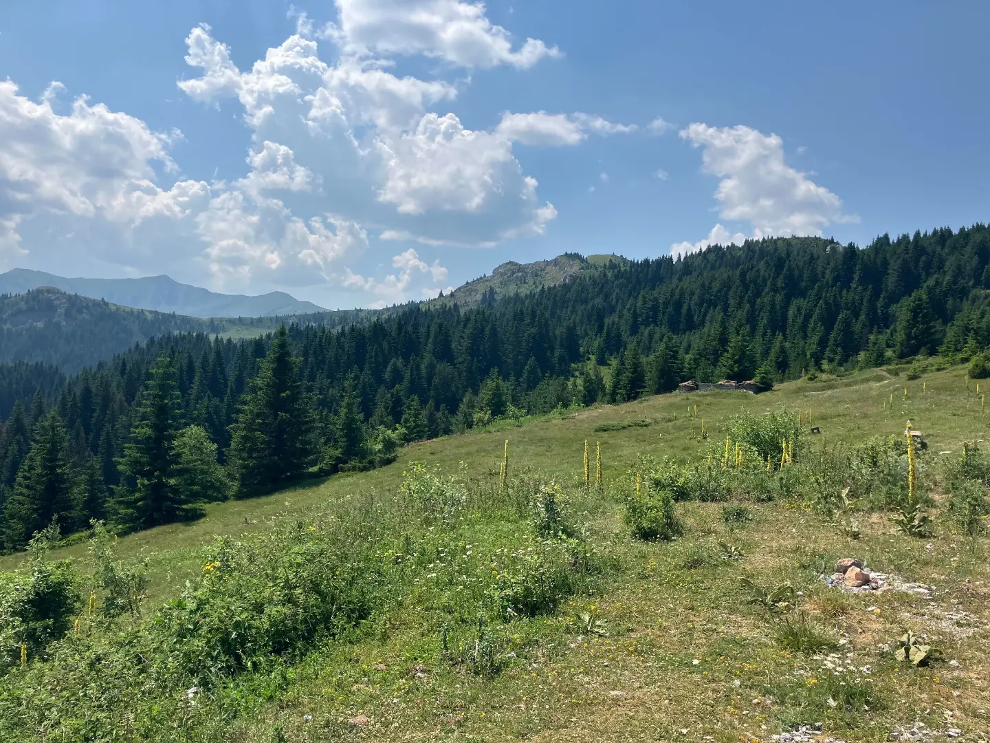
A multi-day hiking tour through mountainous areas, peaks, and passes near Rožaje, Berane, and Plav.
A one-way multi-day hiking tour, 93.5 km long, with a total ascent of 3250 m. It leads through mountainous terrain near Rožaje, Berane, and Plav, with numerous peaks, springs, and camps.
Katun Road Borderline Heights is a one-way multi-day hiking tour, 93.5 km long. It leads through mountainous terrain near Rožaje, Berane, and Plav. The total ascent is 3250 m, and the total descent is 2858 m. The lowest point of the trail is at 879 m above sea level, and the highest at 1931 m above sea level. The estimated walking time without breaks is 31 h 40 min, so it should be planned as a multi-day tour.
The surface is varied: 64% of the route follows asphalt or concrete, 24% on gravel, and 13% on earthen or forest paths. Although roads predominate, the trail is very demanding due to its length and total ascent. It is intended for experienced hikers with good physical fitness and appropriate equipment.
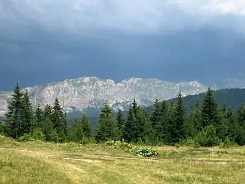
Along the route, notable peaks include Kamljeva glava (1680 m above sea level), Kunj (1615 m above sea level), Golješ (1666 m above sea level), Mušino brdo (1664 m above sea level), Bijeljež (1676 m above sea level), and Ostrožer (1456 m above sea level), as well as the Čakor Pass (1859 m above sea level). Near the Čakor Pass there are a spring, a shelter, and a viewpoint; at 15.5 km from the start is Camp Čakor. Along the trail there are several fountains and springs for water replenishment, including Vrelo Ibra (1245 m above sea level) and Studena voda (1813 m above sea level). Also marked are Camp Kaludarske Kape (1740 m above sea level) and Jama Cave (1798 m above sea level). The trail is waymarked.
What this difficulty means
Very long or alpine terrain where hands may be needed, with few ways out. Only for experienced mountaineers in stable weather.
Mountain hiking grade SAC T1 (scale T1–T6).
Places on this route
Move along the profile to follow the route on the map; switch on 3D for the terrain.
↑ 3,250 m · ↓ 2,858 m · highest point 1,931 m
Along the way
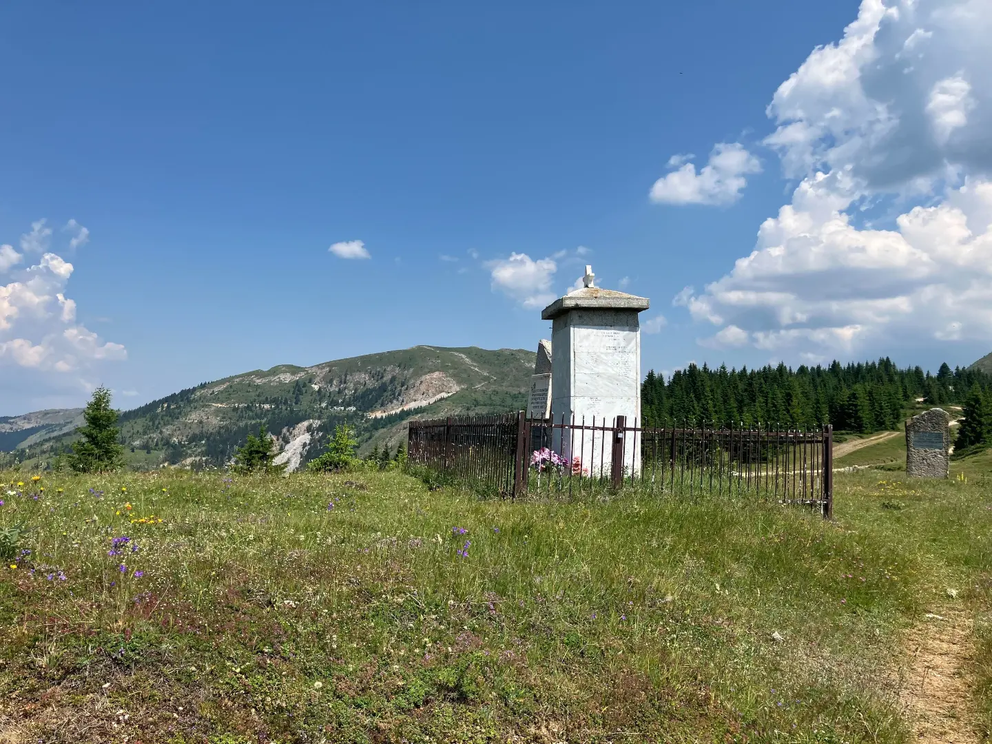
Mountain pass at 1859 m above sea level, with a spring, shelter, and viewpoint.
Peak at 1680 m above sea level, 33.7 km from the start of the trail.
Camp at 1763 m above sea level, a useful point for overnight stay when planning stages.
Drinking water fountain at 87.1 km from the start, at 1245 m above sea level.
Bring enough water and food; along the route there are fountains and springs, but do not plan them as the only source of water.
Wear sturdy hiking footwear and layered clothing; part of the trail follows gravel and earthen paths.
Start early in the morning and divide the tour into several stages; the estimated walking time is 31 h 40 min without breaks.
Check the weather forecast; in higher areas above 1800 m it can be cold and windy even in summer.
On the trail, camps Čakor (1763 m above sea level) and Kaludarske Kape (1740 m above sea level) are marked, so you can use them as a reference when planning overnight stays.
On higher sections fog, wind, and thunderstorms are possible; monitor the weather forecast and shorten the stage if necessary. In case of an accident, call 112. Do not overestimate your abilities and always tell someone your route plan.
Emergency number in Montenegro: 112.
Good to know
Best season
The best period for this tour is from June to September, when the higher areas are usually passable and the days are longer. In spring and autumn at altitudes above 1800 m there may be snow and low temperatures.
Getting there
The trail is located near Rožaje, Berane, and Plav. Rožaje is about 6.6 km away, and Berane and Plav about 7.9 km from the trail, so the start can be reached by road from these towns.
The trail is 93.5 km long and leads in one direction.
The estimated walking time without breaks is 31 h 40 min. The trail is intended as a multi-day tour.
The trail is very demanding and intended for experienced hikers. The total ascent is 3250 m, and the total descent is 2858 m.
The surface is 64 % asphalt or concrete, 24 % macadam and 13 % dirt or forest trail. The highest point is at 1931 m above sea level, and the lowest at 879 m above sea level.
181 km↑ 9,342 m9–12 days
Loop10.4 km↑ 538 m3½–5 h
52.1 km↑ 3,118 m3–4 days
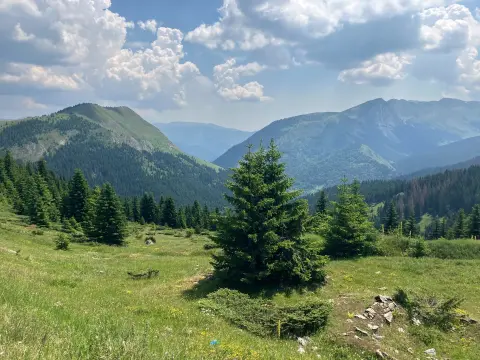
61.3 km↑ 1,755 m6½–9 h
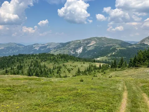
14.0 km↑ 1,030 m6–8 h
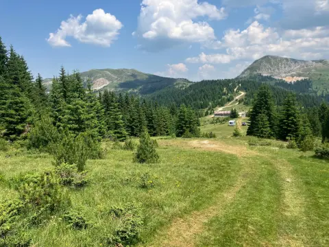
3.6 km↑ 52 m60–85 min
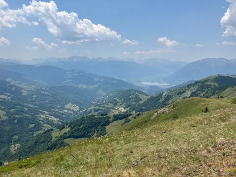
2.4 km↑ 151 m45–65 min
3.7 km↑ 447 m1½–2½ h
Times and grades are estimates. Conditions change: check the weather and local information before you set out.

Ask about Montenegro
Ask me about destinations, restaurants or activities.
