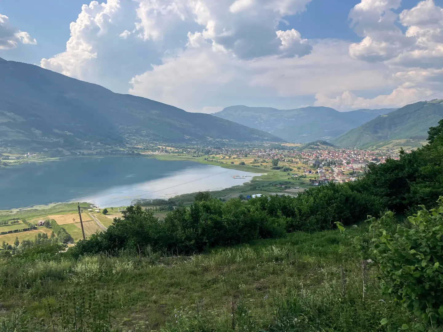
A circular hiking tour through Prokletije National Park, 180.8 km long with 9,342 m of ascent.
The circular hiking trail in Prokletije National Park is 180.8 km long. With 9,342 m of total ascent and a highest point at 2,267 m above sea level, it is intended for experienced hikers.
The Peaks of the Balkans trail is a circular hiking tour in Prokletije National Park. It is 180.8 km long, with a total ascent of 9,342 m and a descent of 9,341 m. The lowest point is at 674 m above sea level, and the highest is at 2,267 m above sea level. The estimated duration without breaks is 72 h 25 min, making it a multi-day tour.
The terrain is mixed: dirt and forest trails make up 53%, gravel roads 25%, and asphalt/concrete 18%. The trail is marked with red blazes and rated T3 on the SAC hiking scale, corresponding to a very demanding route for experienced hikers.
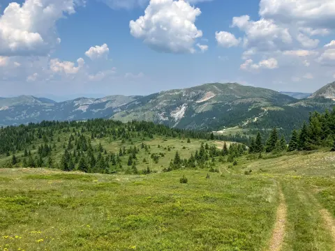
The route starts near Hridsko jezero, passes by Plav, and the surrounding area includes Plavsko jezero and Gusinje. Along the trail are the summits Pišljiv krš, Bora and Ravno brdo, as well as the passes Ćafa Bjelega, Aljuci Pass and Jelenka Pass. On certain sections, springs, water fountains, shelters, viewpoints and waterfalls have been recorded.
What this difficulty means
Very long or alpine terrain where hands may be needed, with few ways out. Only for experienced mountaineers in stable weather.
Mountain hiking grade SAC T3 (scale T1–T6).
Move along the profile to follow the route on the map; switch on 3D for the terrain.
↑ 9,342 m · ↓ 9,341 m · highest point 2,267 m
Along the way
A summit at 13.2 km from the start of the trail, one of the high-altitude goals of the route.
A waterfall at 145.4 km from the start of the trail.
A summit at 74.8 km from the start of the trail.
A pass at 72.7 km from the start of the trail.
Bring enough water; springs and water fountains have been recorded along the trail, but their spacing may not match your pace.
Wear hiking boots and layered clothing – altitudes of up to 2,267 m bring variable conditions.
Plan a multi-day tour and accommodation in advance; the estimated duration without breaks is 72 h 25 min.
Follow the red trail markings, especially on gravel road and asphalt sections.
Check the weather forecast and avoid setting out ahead of days with forecast thunderstorms.
At high-altitude sections, mountain conditions are variable: fog, thunderstorms and cold can set in quickly. Bring equipment for sun, rain and wind. In case of emergency, call 112.
Emergency number in Montenegro: 112.
Good to know
Best season
Due to altitudes of up to 2,267 m, it is best to plan the tour in the warmer part of the year, when the passes are clear and there is no snow. In the winter months, the higher sections may be impassable.
Getting there
The start of the trail is near Hridsko jezero (~0.2 km from the starting point). The route passes by Plav, and nearby are Plavsko jezero and Gusinje.
The trail is 180.8 km long and is circular in shape – it starts and ends at the same place.
The estimated duration without breaks is 72 h 25 min, so it is planned as a multi-day tour.
On our scale it is very demanding and intended for experienced hikers; on the SAC hiking scale it carries a rating of T3.
Yes, the trail is marked with red markings.
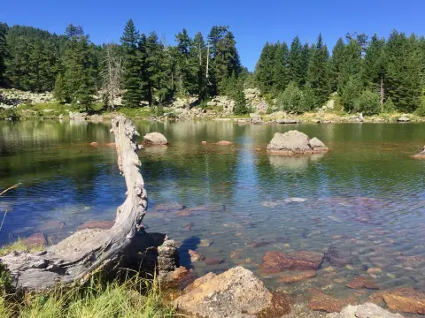
3.7 km↑ 22 m70–95 min
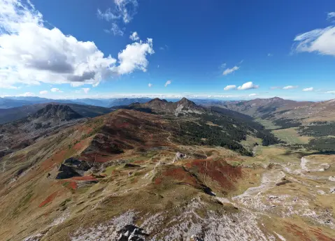
56.8 km↑ 3,721 m3–4 days
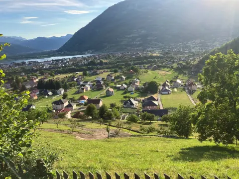
38.4 km↑ 1,440 m4½–6½ h
3.4 km↑ 213 m65–90 min
14.0 km↑ 1,030 m6–8 h
29.7 km↑ 951 m2½–3½ h
Loop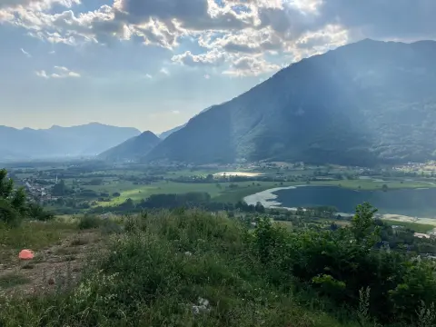
25.4 km↑ 1,094 m3½–4½ h
Loop
262 km↑ 6,918 m4–5 days
Times and grades are estimates. Conditions change: check the weather and local information before you set out.

Ask about Montenegro
Ask me about destinations, restaurants or activities.
