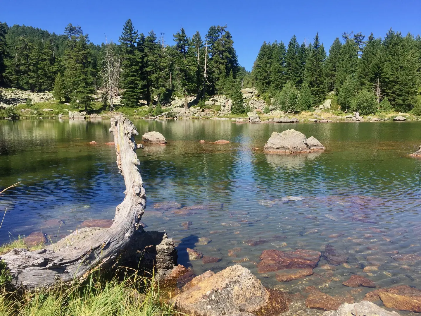
Marked mountain trail through Prokletije with a view of the plateau and an easy descent.
A short and easy 3,7 km trail in Prokletije National Park. It leads mostly downhill, with a total descent of 356 m, and is suitable for hikers of all experience levels.
The Hridsko Lake trail extends for 3,7 km through Prokletije National Park and is walked in one direction. It starts at about 2.054 m above sea level and descends to 1.711 m above sea level, so the total descent of 356 m is far more pronounced than the climb of only 22 m. The estimated walking time without breaks is 1 h 20 min.
The surface consists entirely of dirt and forest trail, and the trail is marked with red-and-white waymarks. Near the trailhead itself there is a drinking water fountain and a shelter, providing a good starting base for tours. At about 0,8 km from the start there is a spring, and a bit further on a camping area.
The terrain is pleasant and requires no special technical skill. The trail is excellent for those who want to enjoy the mountain scenery of Prokletije without demanding climbing. Closest to Hridsko Lake, and in the wider surroundings, Plav and Plav Lake are accessible.
With its gentle pace and short duration, this route is suitable for families with children and beginner hikers.
What this difficulty means
Well-made paths with gentle gradients. Fine for families and anyone used to walking a few hours.
Move along the profile to follow the route on the map; switch on 3D for the terrain.
↑ 22 m · ↓ 356 m · highest point 2,054 m
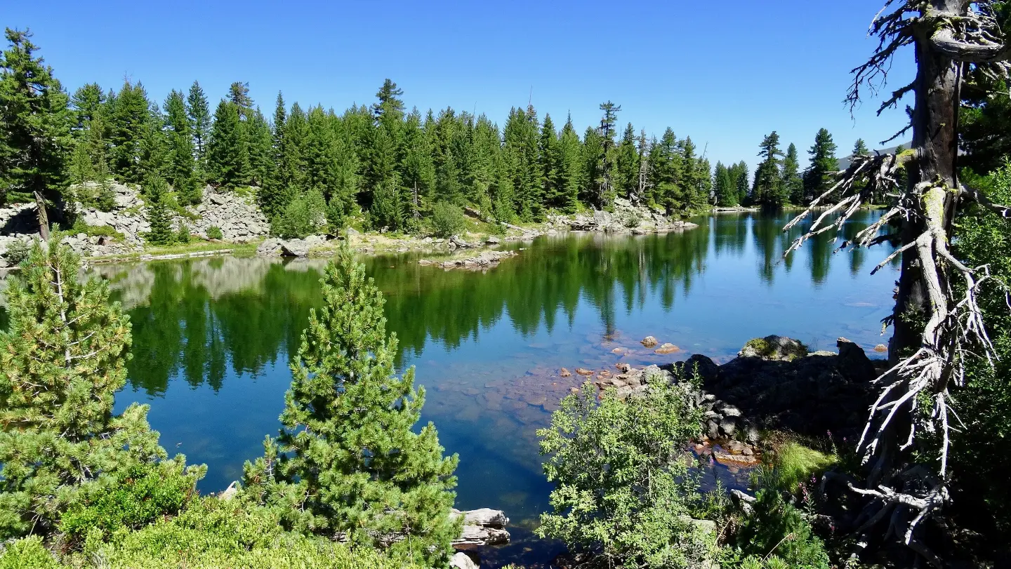
The trail ends near Hridsko Lake, at an elevation of about 1.711 m above sea level, in the heart of Prokletije National Park.
At the very start of the trail, at an elevation of about 2.056 m above sea level, there is a drinking water fountain — ideal for filling bottles before setting off.
Only 0,1 km from the trailhead, at an elevation of 2.061 m above sea level, there is a shelter that can be used in case of sudden weather changes.
About 0,8 km from the start, at an elevation of 1.974 m above sea level, you pass a spring in the middle of the mountain landscape of Prokletije.
At approximately 0,9 km from the trailhead, at an elevation of 1.972 m above sea level, there is a campsite — a good option for those who want to spend the night in nature.
Set off early in the morning to avoid the afternoon thunderstorm hazards common at mountain elevations.
There is a drinking water fountain at the trailhead, but bring a reserve of water for the entire route.
The trail is one-way — arrange transport in advance or arrange a pickup at the endpoint.
Wear a light windbreaker or raincoat, because the weather in Prokletije can change quickly even at summer temperatures.
Footwear with a good sole is recommended because the dirt and forest surface can be slippery after rain.
The trail passes through a protected national park area — respect the rules and do not leave litter in nature.
The trail is located on a mountain above 1.700 m above sea level, where weather conditions can change suddenly — afternoon thunderstorms are especially common in summer. In fog, visibility may be reduced, so leaving the marked route is not recommended. In an emergency, call 112.
Emergency number in Montenegro: 112.
Good to know
Best season
The trail is best suited from June to October, when the mountain areas of Prokletije are free of snow. Outside this period, snow and ice may make passage difficult.
Getting there
The trailhead is located near Hridsko Lake, about 0,5 km from the start. In the wider area, about 7,1 km away, is Plav, from where transport to the trailhead can be arranged.
The trail is 3,7 km long and is walked in one direction, from the trailhead to the endpoint.
Estimated walking duration without breaks is 1 h 20 min. With breaks and sightseeing, allow for a bit more time.
The trail is rated as easy. The total ascent is only 22 m, while the descent is 356 m, making it suitable for hikers of all levels, including beginners and families with children.
Yes, the trail is marked with red-and-white markings. It runs between 1.711 m and 2.054 m above sea level, within Prokletije National Park.
181 km↑ 9,342 m9–12 days
Loop
38.4 km↑ 1,440 m4½–6½ h
56.8 km↑ 3,721 m3–4 days
3.4 km↑ 213 m65–90 min
14.0 km↑ 1,030 m6–8 h
29.7 km↑ 951 m2½–3½ h
Loop
262 km↑ 6,918 m4–5 days
25.5 km↑ 112 m1½–2 h
Times and grades are estimates. Conditions change: check the weather and local information before you set out.

Ask about Montenegro
Ask me about destinations, restaurants or activities.
