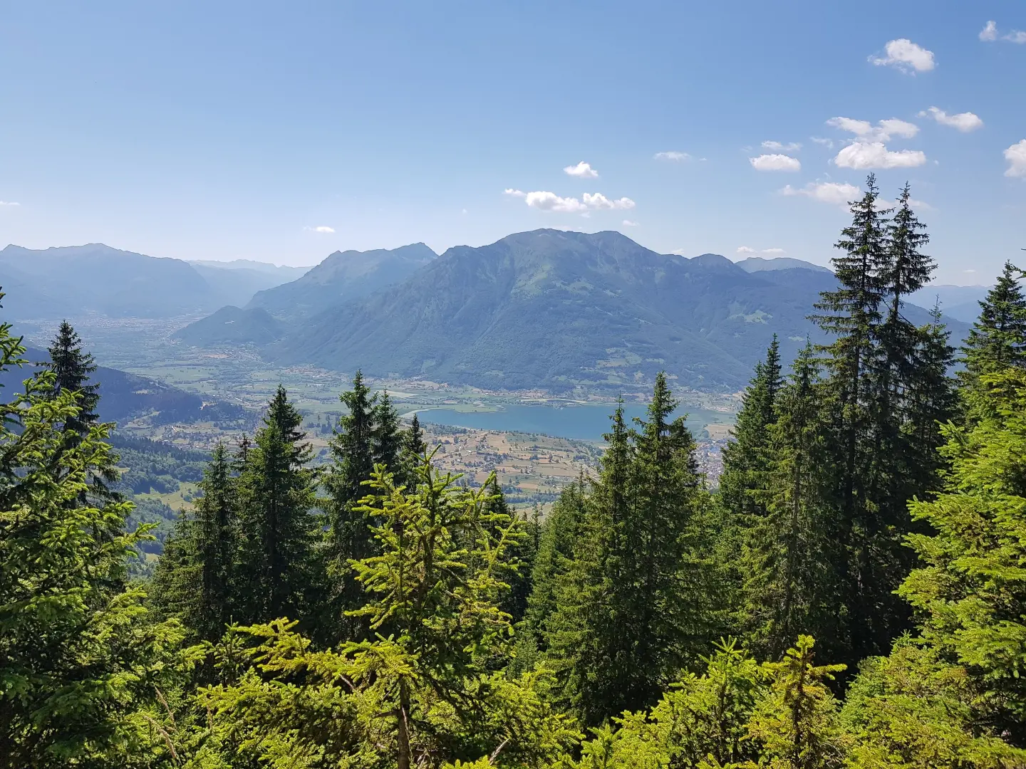
Circular cycling trail in Prokletije National Park with moderate climbs, 29.7 km long, mostly on asphalt.
Biking Trail PL02 is a circular cycling trail in Prokletije National Park. The trail is 29.7 km long, has a total ascent of 951 m, is of moderate difficulty, and runs 93% on asphalt or concrete.
Biking Trail PL02 is a circular cycling trail in Prokletije National Park. It starts and ends near Plav, approximately 0.7 km from the town. The trail is 29.7 km long, with a total ascent of 951 m and a descent of 949 m. The lowest point is at 937 m a.s.l., and the highest at 1766 m a.s.l.
The trail is of moderate difficulty and mostly runs on asphalt or concrete (93%). The estimated riding time without breaks is 3 h 5 min. Along the route there are several drinking water fountains, including the "Babina voda" fountain at 1461 m a.s.l. (14.8 km from the start). At 20.2 km there is a viewpoint at 1729 m a.s.l., and at 21.5 km a shelter at 1708 m a.s.l.
The ride passes through areas of Prokletije National Park and offers views of the surrounding mountain landscapes. Near the starting point is Plavsko jezero, about 1 km from the trail. In the wider surroundings are also Hridsko jezero (about 4.6 km) and Gusinje (about 8.3 km).
What this difficulty means
Some longer climbs or rougher surfaces. You need regular riding fitness.
Move along the profile to follow the route on the map; switch on 3D for the terrain.
↑ 951 m · ↓ 949 m · highest point 1,766 m
Along the way
A point with views over the surrounding areas of Prokletije National Park, at 20.2 km from the start of the trail.
A shelter at 1708 m a.s.l., at 21.5 km from the start of the trail.
A drinking water fountain at 1461 m a.s.l., at 14.8 km from the start of the trail.
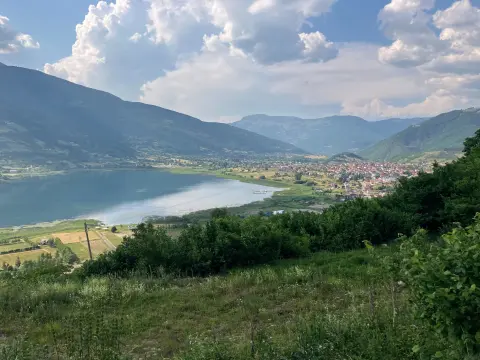
A lake near the trail, about 1 km from the start/route.
Bring enough water, although there are several drinking water fountains along the route.
Check the weather forecast before setting off; at altitudes up to 1766 m a.s.l. the weather changes quickly.
Dress in layers — at the highest points it can be noticeably cooler.
Wear a helmet and carry a basic bicycle repair kit; most of the trail is asphalt/concrete.
Start early to avoid the hottest part of the day and finish the loop before dark.
In mountain conditions the weather can change quickly. Bring enough water and check the weather forecast. In emergencies call 112.
Emergency number in Montenegro: 112.
Good to know
Best season
The best period for riding is from late spring to early autumn, when the roads are dry and temperatures are moderate. At the highest point of 1766 m a.s.l. it can be cooler even in summer.
Getting there
The trail starts and ends near Plav, approximately 0.7 km from the town, within Prokletije National Park.
The trail is 29.7 km long and is circular in shape.
The estimated riding time without breaks is 3 h 5 min.
The trail is of moderate difficulty, with a total ascent of 951 m and a descent of 949 m. Most of it is on asphalt or concrete (93%).
The trail starts and ends near Plav, in the Prokletije National Park.
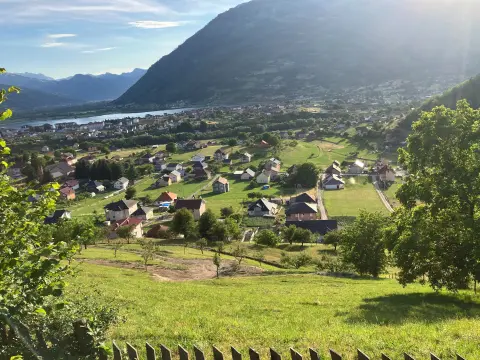
38.4 km↑ 1,440 m4½–6½ h
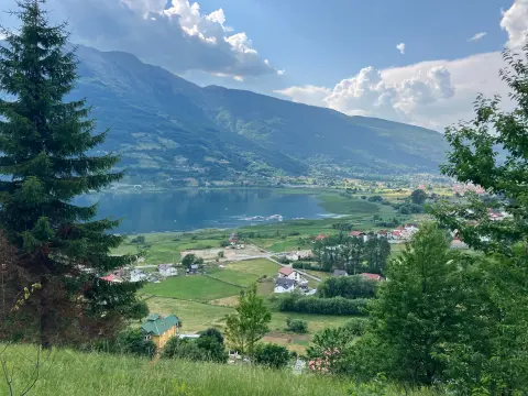
25.5 km↑ 112 m1½–2 h
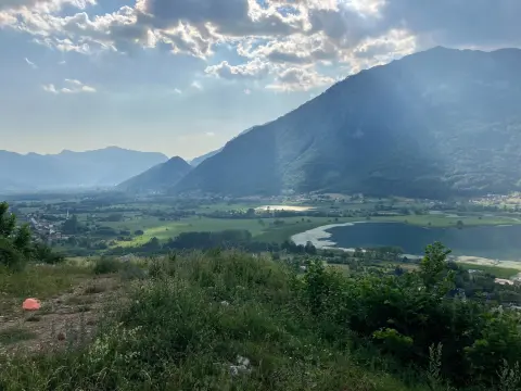
25.4 km↑ 1,094 m3½–4½ h
Loop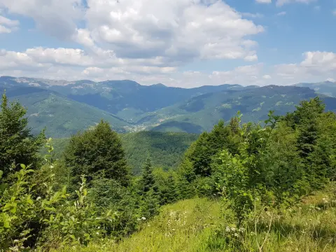
20.1 km↑ 1,064 m3–4 h
26.9 km↑ 450 m2–2½ h

262 km↑ 6,918 m4–5 days
56.8 km↑ 3,721 m3–4 days
181 km↑ 9,342 m9–12 days
LoopTimes and grades are estimates. Conditions change: check the weather and local information before you set out.

Ask about Montenegro
Ask me about destinations, restaurants or activities.
