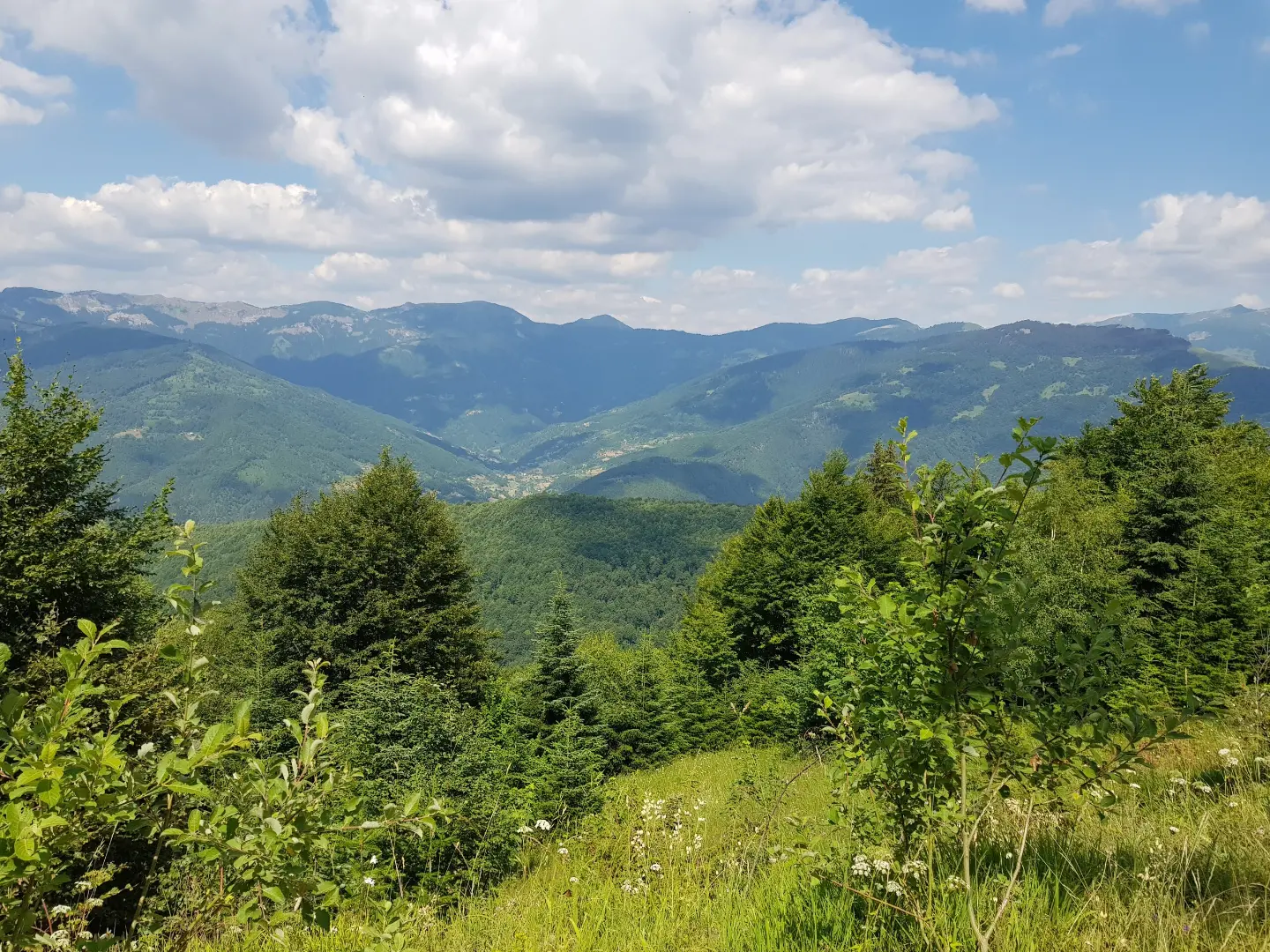
A cycling trail from Plav to mountain huts, with 20.1 km of mixed surface and a moderate climb.
Cycling trail PL05 runs one way from Plav to mountain huts. The length is 20.1 km, with 1,064 m of total ascent and moderate difficulty. The surface is a combination of gravel road, asphalt/concrete, and dirt track.
The trail starts in Plav and runs one way for 20.1 km. Total ascent is 1,064 m and total descent is 324 m. The lowest point is at 888 m a.s.l. and the highest at 1,874 m a.s.l.
The surface is mixed: 51% gravel road, 43% asphalt or concrete, and 6% dirt or forest track. The trail is therefore suitable for cyclists with a basic level of fitness and experience riding off asphalt. Estimated riding time without stops is 3 h 30 min.
In the second half, the trail climbs toward mountain huts, shelters, and a viewpoint at around 1,850 m a.s.l. There are also drinking water fountains along the way. At 15.0 km, the trail passes near the summit of Zaparenik at 1,515 m a.s.l.
The trail is of moderate difficulty and is aimed primarily at recreational cyclists who enjoy longer climbs and mixed surfaces. The trail is marked.
What this difficulty means
Some longer climbs or rougher surfaces. You need regular riding fitness.
Places on this route
Move along the profile to follow the route on the map; switch on 3D for the terrain.
↑ 1,064 m · ↓ 324 m · highest point 1,874 m
Along the way
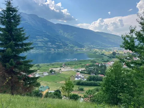
The lake is located about 0.9 km from the trail and can easily be included as a short detour near the start.
Located at 15.0 km from the start of the trail, at 1,515 m a.s.l.
At 19.0 km and 19.7 km from the start there are several mountain lodges/huts and shelters, with drinking water fountains.
Located at 18.8 km from the start, in the high section of the trail.
Check the weather forecast before setting off. In the higher sections, conditions can change quickly.
Bring enough water and food; although there are water fountains on the trail, it is useful to have a reserve.
Prepare your bike for mixed surfaces: gravel and dirt sections, with appropriate tyres and brakes.
Set off early and allow for a total riding time of 3 h 30 min without stops, plus rest breaks.
Dress in layers and bring a windproof jacket, as the highest point exceeds 1,800 m a.s.l.
In the higher sections of the trail there may be fog, rain, or thunderstorms, especially on summer afternoons. If the weather deteriorates, return to a lower point. In case of an accident, call 112.
Emergency number in Montenegro: 112.
Good to know
Best season
The best period for riding is from late spring to early autumn (May–October), when the higher sections are usually passable. In other months, sections above 1,800 m a.s.l. may have snow and ice.
Getting there
The trail starts in Plav. There is a parking area at the start of the trail (0.0 km).
The trail is 20.1 km long and is ridden one way.
Estimated duration without stops is 3 h 30 min. Allow more time if you plan to take breaks.
The difficulty is moderate. Total ascent is 1,064 m and total descent is 324 m.
51% gravel, 43% asphalt or concrete, and 6% dirt or forest trail.
29.7 km↑ 951 m2½–3½ h
Loop
25.4 km↑ 1,094 m3½–4½ h
Loop
262 km↑ 6,918 m4–5 days
56.8 km↑ 3,721 m3–4 days
26.9 km↑ 450 m2–2½ h
38.4 km↑ 1,440 m4½–6½ h
25.5 km↑ 112 m1½–2 h
181 km↑ 9,342 m9–12 days
LoopTimes and grades are estimates. Conditions change: check the weather and local information before you set out.

Ask about Montenegro
Ask me about destinations, restaurants or activities.
