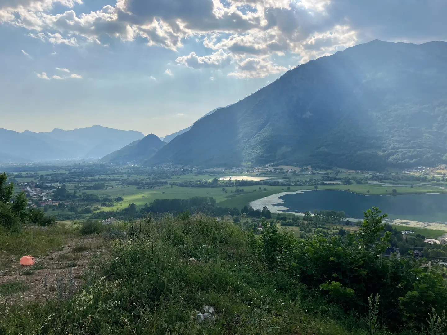
A circular biking tour through Prokletije National Park with a view of Lake Plav.
A circular trail 25.4 km long, starting from the vicinity of Plav and leading through Prokletije National Park. It combines gravel and asphalt with a total elevation gain of 1,094 m, and the estimated ride time is 3 h 55 min without breaks.
Trail PL03 starts from the immediate vicinity of Plav and immediately enters Prokletije National Park. The first water fountain is already at 1.0 km from the start, and another one at 3.4 km, so the opening kilometres are well supplied with water.
The terrain is varied: roughly half the route runs on gravel, and half on asphalt and concrete. The lowest point is 914 m a.s.l., while the trail climbs to 1,914 m a.s.l., meaning a significant ascent that requires good physical fitness and proper equipment. The trail is rated as moderate.
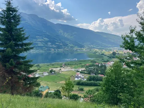
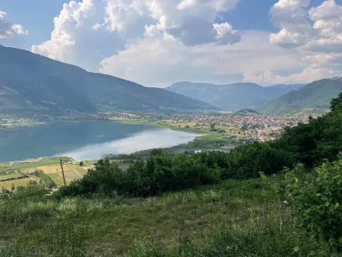
In the final section of the route, around the 20th kilometre, there is a water fountain and a shelter at 927 m a.s.l. – a useful spot for a short rest before the return. Lake Plav is visible in the immediate vicinity of the trail, and Gusinje is only a few kilometres further away.
The trail is suitable for more experienced recreational cyclists who want a full mountain experience with changing surfaces and the beautiful landscape of Prokletije.
What this difficulty means
Some longer climbs or rougher surfaces. You need regular riding fitness.
Move along the profile to follow the route on the map; switch on 3D for the terrain.
↑ 1,094 m · ↓ 1,093 m · highest point 1,914 m
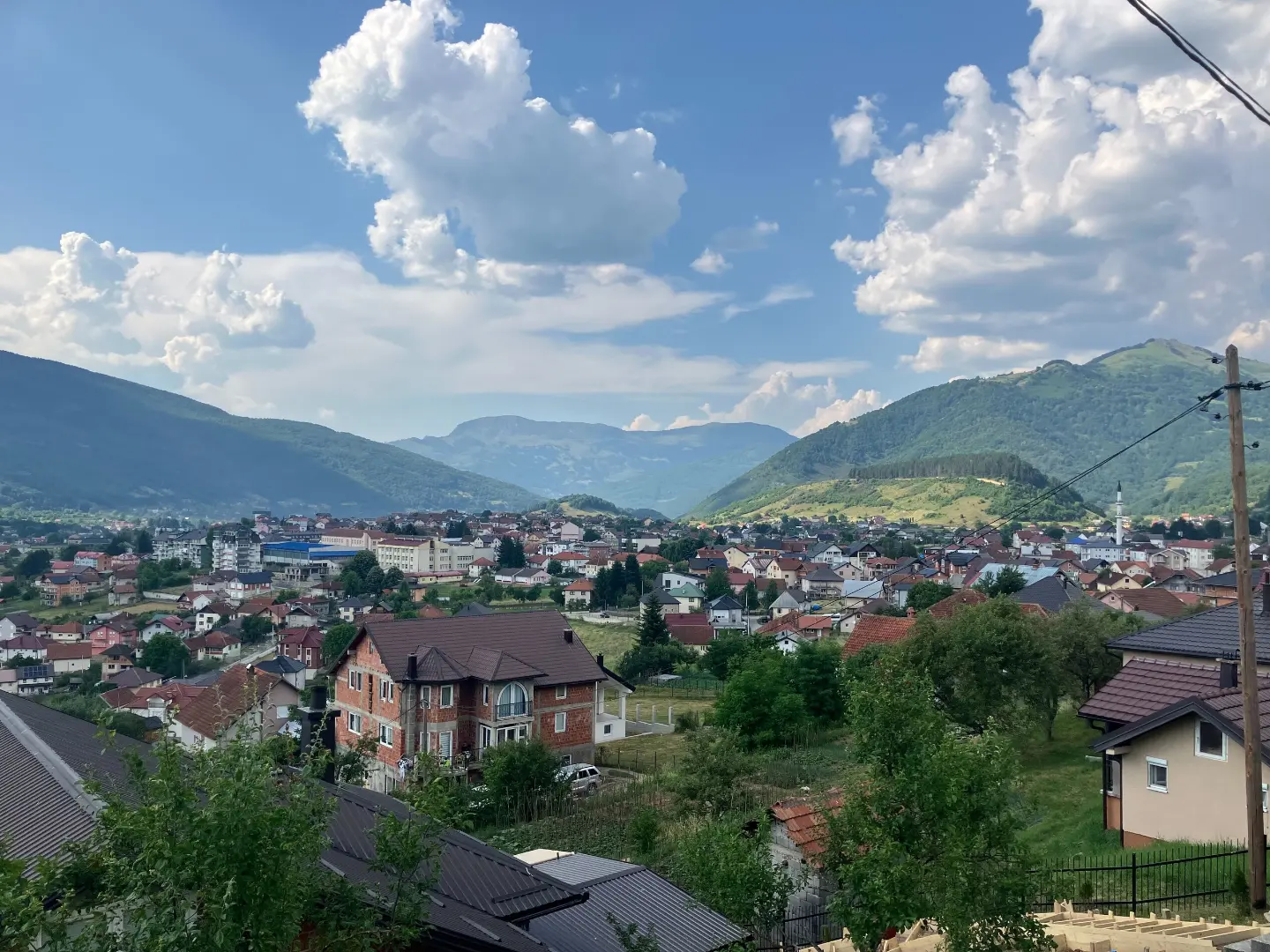
The lake is only ~0.9 km from the trail and offers a beautiful view during the ride in the lower sections of the route.
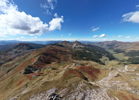
The entire trail passes through the protected area of Prokletije National Park, with unspoiled mountain nature.
There are four drinking water fountains on the trail – at 1.0 km, 3.4 km, 20.1 km and 23.9 km from the start.
At approximately 20.1 km from the starting point there is a shelter at 927 m a.s.l., useful for a rest in the final section of the tour.
Bring enough water and food, even though there are fountains on the trail – do not rely on them alone.
A mountain or trekking bike with reliable brakes is recommended due to the gravel sections and gradients.
Start early in the morning to finish the tour before the afternoon thunderstorms, which are common in the mountains during summer.
The trail climbs to 1,914 m a.s.l. – bring a windbreaker and an extra layer of clothing regardless of the morning temperatures.
Check the condition of the gravel sections after rain; wet rock and mud can be slippery.
Keep your phone battery charged and download an offline map – signal can be weak in the higher sections.
The trail reaches 1,914 m a.s.l., where weather conditions can change quickly – thunderstorms and fog are not uncommon, especially in the afternoon. Ride carefully on gravel sections and always wear a helmet. In case of emergency, call 112.
Emergency number in Montenegro: 112.
Good to know
Best season
The trail is best from late May to October, when the mountain roads are passable. Outside that period, snow deposits are possible on the higher sections of the route.
Getting there
The trail starting point is located near Plav, only ~0.7 km from the centre. Plav is accessible by road, and parking is available in the town itself.
The trail is 25.4 km long and is circular in shape – it starts and finishes at the same place near Plav.
The estimated ride duration without breaks is 3 h 55 min. Allow for more time if you plan to rest and sightsee.
The trail is rated as moderate. The total ascent is 1094 m, and the trail climbs up to 1914 m above sea level, which requires good physical fitness.
Given the altitude of up to 1914 m, the recommended period is from late spring to early autumn, when the mountain paths are passable and free of snow.
Cycling · Plav · Prokletije National Park
Cycling · Plav · Prokletije National Park
Cycling · Gusinje
Cycling · Plav
Cycling · Andrijevica
Cycling · Šiško Lake · Biogradska Gora National Park
Hiking · Andrijevica · Prokletije National Park
Hiking · Hridsko Lake · Prokletije National Park
Times and grades are estimates. Conditions change: check the weather and local information before you set out. Map and data sources →

