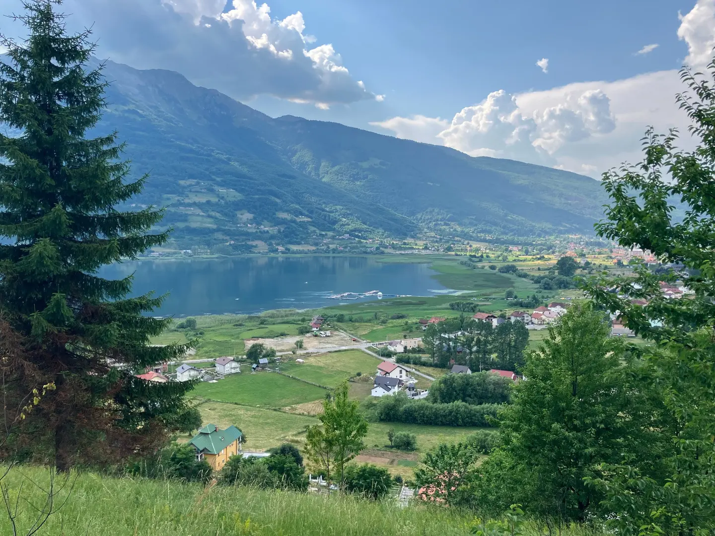
An easy cycling trail near Plav: 25.5 km mostly on asphalt, gentle ascent and proximity to Lake Plav.
The Biking Trail PL01 offers 25.5 km of easy riding mostly on asphalt through the surroundings of Plav. The total ascent is 112 m, descent 118 m, and the ride without breaks takes about 1 h 30 min.
Biking Trail PL01 is 25.5 km long and follows mostly asphalt (94%), with a shorter unpaved section (6%). The route is one-way, so the start and end are not at the same location. The start of the trail is about 4.1 km from Gusinje.
The trail passes by Plav. The elevation difference is gentle: the lowest point is at 904 m a.s.l., the highest at 961 m a.s.l. The total ascent is 112 m and the total descent is 118 m.
Near the trail are Lake Plav (about 0.9 km) and Lake Hrid (about 7.9 km). At 5.8 km from the start is Camping Lakeview, and at 7.6 km, 8.1 km and 11.7 km there are drinking water fountains. At 11.7 km there is also a shelter.
The ride is easy and takes about 1 h 30 min without breaks. It is suitable for recreational cyclists, families and anyone who wants a relaxed ride in the Plav area.
What this difficulty means
Mostly flat or gentle riding on good surfaces. Fine for occasional riders and families.
Places on this route
Move along the profile to follow the route on the map; switch on 3D for the terrain.
↑ 112 m · ↓ 118 m · highest point 961 m
Along the way
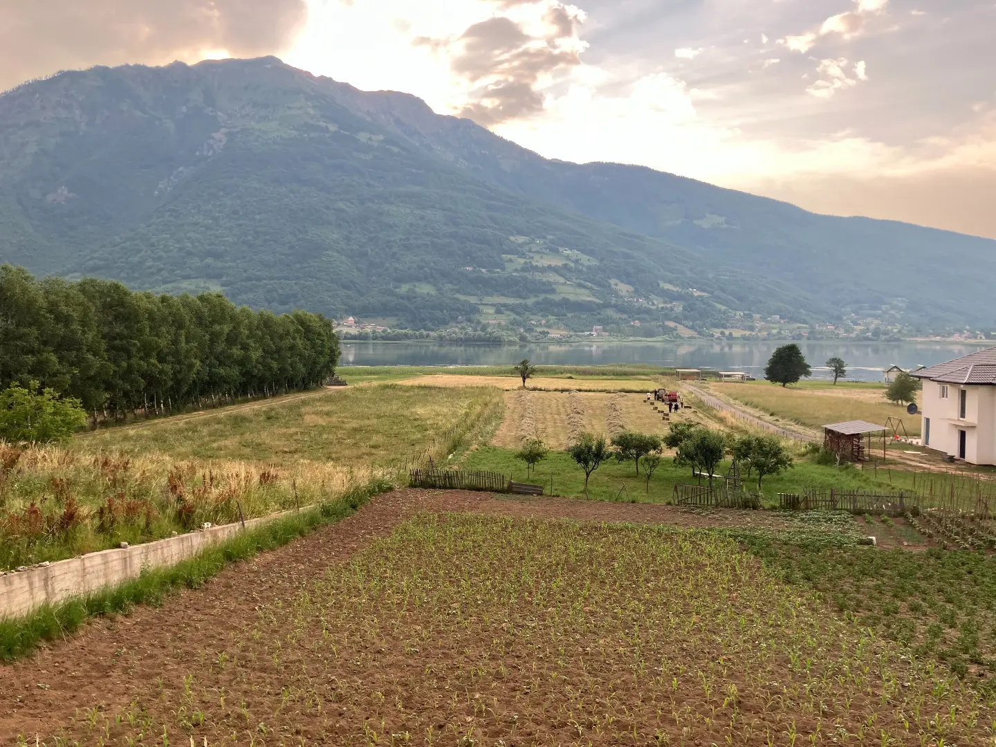
It is about 0.9 km from the trail.
At 7.6 km, 8.1 km and 11.7 km from the start of the trail there are drinking water fountains.
At 11.7 km from the start of the trail, at 927 m a.s.l., there is a shelter.
At 5.8 km from the start of the trail, at 910 m a.s.l., there is Camping Lakeview.
It is about 7.9 km from the trail.
Bring enough water and refill it at the fountains along the trail.
Observe traffic rules on asphalt sections and make yourself visible.
Check the weather forecast; in mountainous areas the weather can change quickly.
Wear a helmet and carry a basic toolkit for minor bicycle repairs.
Start early during summer days and bring sun protection.
Ride carefully on the short unpaved section, especially if it is wet.
Observe traffic rules on asphalt sections and make yourself visible. In case of fog, rain or strong wind, reduce your speed. For emergencies call 112.
Emergency number in Montenegro: 112.
Good to know
Best season
The best period for riding is from spring to autumn, when the roads are dry and the days are longer. In winter, sections at 904–961 m a.s.l. are often colder and can be wet.
Getting there
The start of the trail is about 4.1 km from Gusinje. The trail passes by Plav, so the easiest way to reach the trail area is from Plav or Gusinje.
The trail is 25.5 km long.
The ride without breaks lasts about 1 h 30 min.
The trail is of easy difficulty, with a total ascent of 112 m and a descent of 118 m.
No, the trail is one-way; the start and end are not at the same place.

262 km↑ 6,918 m4–5 days
25.4 km↑ 1,094 m3½–4½ h
Loop6.6 km↑ 1,263 m4½–6 h
8.5 km↑ 460 m3–4½ h
24.6 km↑ 2,054 m2–3 days
2.7 km↑ 104 m50–70 min
12.8 km↑ 73 m50–70 min
Loop28.2 km↑ 879 m3–4½ h
Times and grades are estimates. Conditions change: check the weather and local information before you set out.

Ask about Montenegro
Ask me about destinations, restaurants or activities.
