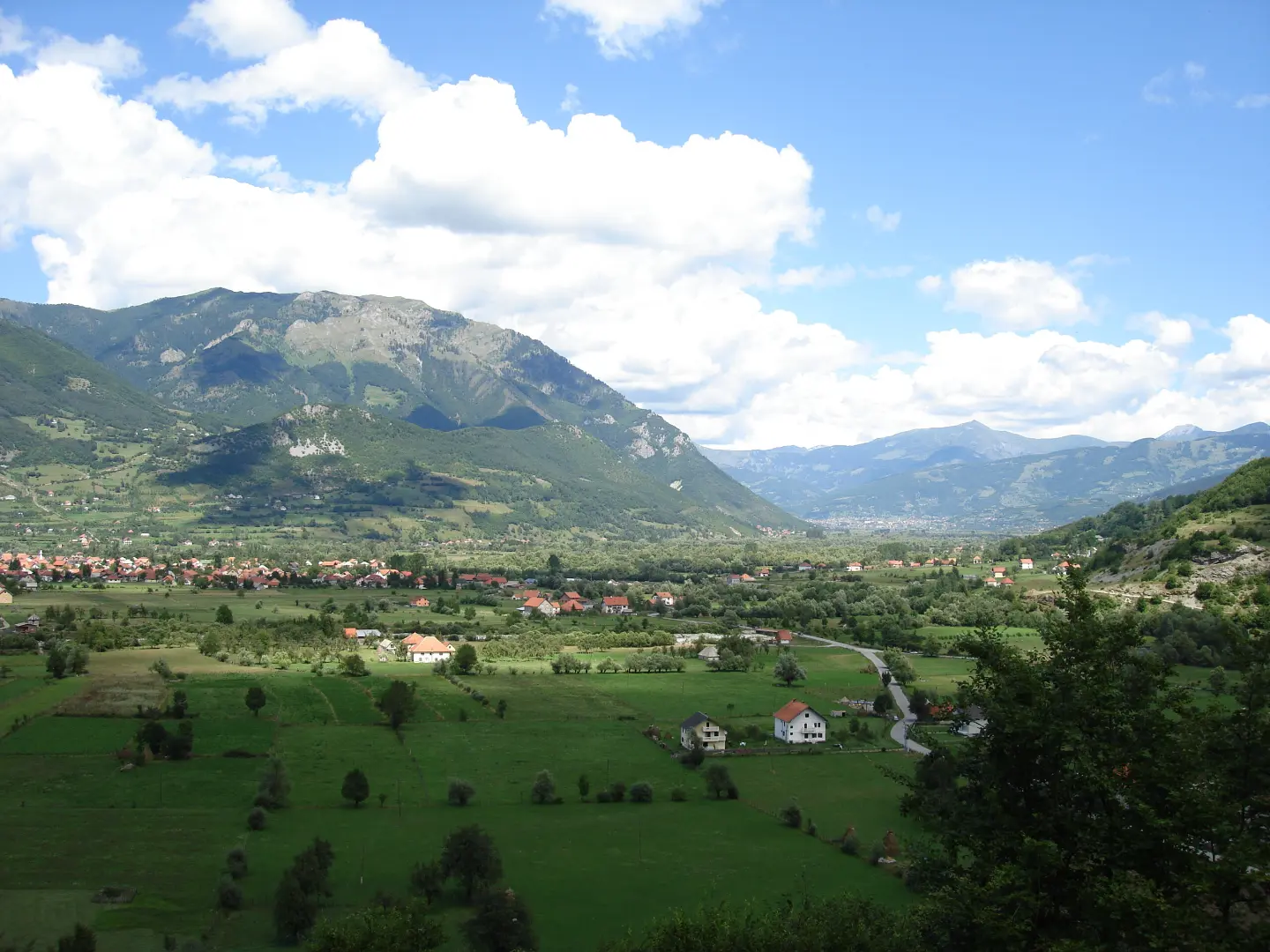
Circular cycling route in the surroundings of Gusinje, a combination of asphalt and gravel, with gentle ascent and descent.
Grnčar is a circular cycling route near Gusinje, 12.8 km long. The route is of moderate difficulty, ridden on asphalt/concrete (61%) and gravel (39%), with a total ascent and descent of 73 m each.
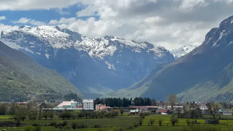
The Grnčar route is a circular cycling tour that starts and ends in Gusinje. It is 12.8 km long, and the ride takes about 1 h without breaks. The total ascent and descent are 73 m each, making the route of moderate difficulty (MTB scale 2). The lowest point is at 918 m, and the highest is at 967 m above sea level.
The surface is mixed: 61% asphalt or concrete and 39% gravel. This allows for a more relaxed pace and is suitable even for cyclists with a basic level of fitness. The route passes through the surroundings of Gusinje, and nearby are Plavsko jezero (about 7.9 km) and Plav (about 9.3 km).
Along the route there are two drinking water fountains — Velika česma (937 m a.s.l.) and Mala česma (927 m a.s.l.) — as well as parking areas near the start and towards the end of the loop. The route is marked.
Due to the small elevation difference and the good combination of surfaces, the tour is pleasant for recreational cyclists, families, and anyone who wants a short exploration of the surroundings of Gusinje.
What this difficulty means
Some longer climbs or rougher surfaces. You need regular riding fitness.
Places on this route
Move along the profile to follow the route on the map; switch on 3D for the terrain.
↑ 73 m · ↓ 73 m · highest point 967 m
Along the way
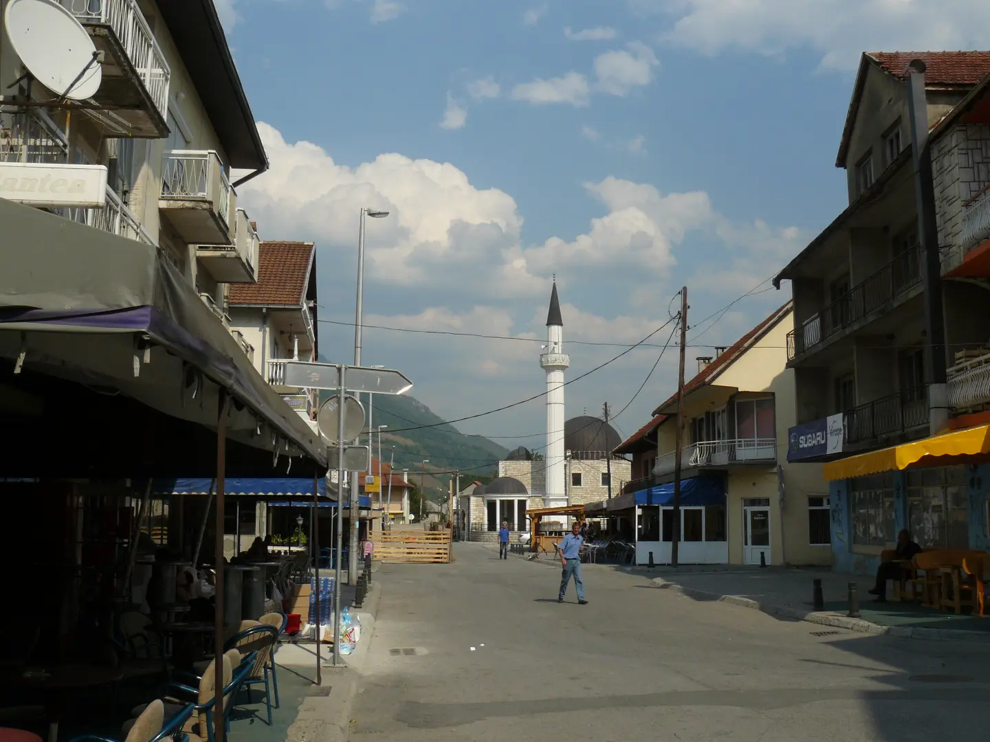
The bus station is 0.2 km from the start of the route, at 921 m above sea level.
Drinking water fountain at 937 m above sea level, 10.0 km from the start of the route.
Drinking water spring at 927 m above sea level, 10.8 km from the start of the route.
Parking is located about 0.2 km from the start of the route and at 12.7 km, towards the end of the loop.
The lake is located about 7.9 km from the route and can be an additional destination to visit.
Bring enough water even though there are fountains on the route; refill at Velika česma or Mala česma.
Check your bike before riding, especially the brakes and tyres, due to the combination of asphalt and gravel.
Wear a helmet and appropriate clothing; in mountain areas the weather can change quickly.
Set off earlier during summer days to avoid the worst of the heat.
Bring a basic tyre repair kit and a pump, as part of the route is gravel.
In mountain conditions the weather can change quickly, so check the forecast before setting off. Take care on gravel sections. In emergencies call 112.
Emergency number in Montenegro: 112.
Good to know
Best season
Due to the altitude of approximately 918 to 967 m, the most pleasant riding is from late spring to early autumn. It can be warm in summer, and in winter snow and ice are possible on the route.
Getting there
The route starts and ends in Gusinje, about 0.1 km from the centre. Near the start there are a parking area and the Gusinje bus station.
The route is 12.8 km long and is circular — it starts and ends in Gusinje.
The estimated duration without breaks is 1 h.
The trail is of moderate difficulty, MTB scale 2. The total ascent and descent are 73 m each.
Asphalt or concrete make up 61 % of the trail, and gravel road 39 %.

262 km↑ 6,918 m4–5 days
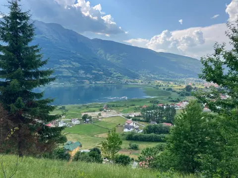
25.5 km↑ 112 m1½–2 h
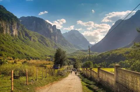
25.3 km↑ 571 m2½–3½ h
Loop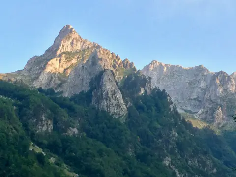
8.8 km↑ 279 m60–85 min
2.4 km↑ 218 m50–70 min
28.2 km↑ 879 m3–4½ h
6.6 km↑ 1,263 m4½–6 h
4.3 km↑ 107 m25–35 min
Times and grades are estimates. Conditions change: check the weather and local information before you set out.

Ask about Montenegro
Ask me about destinations, restaurants or activities.
