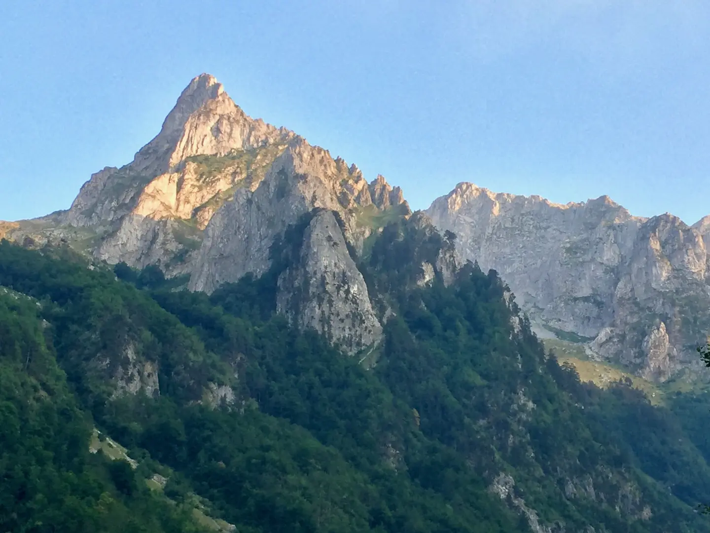
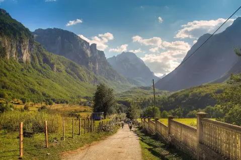
Easy cycling trail in Prokletije National Park, from Gusinje along asphalt and gravel road.
Cycling trail GU02 is 8.8 km long and leads from Gusinje through Prokletije National Park. It has a total ascent of 279 m, a mostly asphalt surface, and takes about 1 h 10 min without breaks.
Cycling trail GU02 starts in Gusinje, right next to the bus station and parking lot. The first 4.4 km leads with a gentle climb to a spring at 999 m a.s.l. The surface is mostly asphalt/concrete (77%), and partly gravel road (23%).
At 7.3 km from the start is the fountain Suljova česma at 1143 m a.s.l. Shortly after are a campsite and three shelters at 7.4–7.5 km, at elevations from 1139 to 1145 m a.s.l. The entire route passes through Prokletije National Park.
The total ascent is 279 m, and the descent is 17 m. The lowest point is at 924 m a.s.l., the highest at 1194 m a.s.l. The trail is easy and takes about 1 h 10 min without breaks. It is suitable for recreational riders and families with basic cycling experience. In the wider surroundings are Plavsko jezero (about 8.5 km) and Plav (about 9.9 km).
What this difficulty means
Mostly flat or gentle riding on good surfaces. Fine for occasional riders and families.
Places on this route
Move along the profile to follow the route on the map; switch on 3D for the terrain.
↑ 279 m · ↓ 17 m · highest point 1,194 m
Along the way
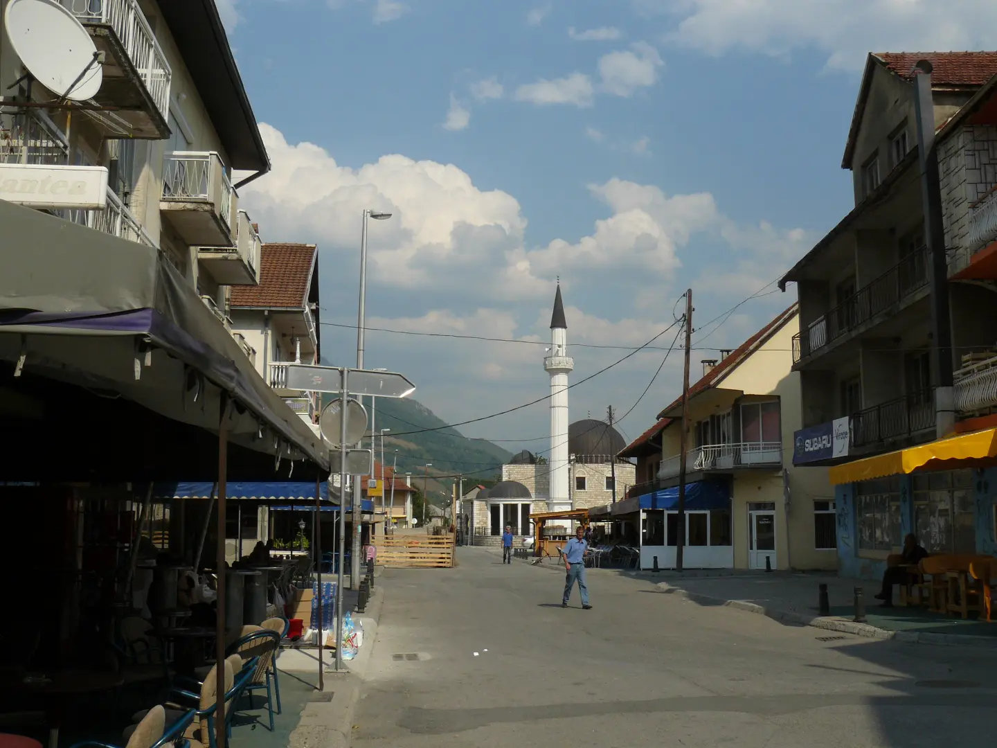
The trail starts next to the bus station and parking lot in Gusinje, about 0.1 km from the town.
At 4.4 km there is a spring at 999 m a.s.l., and at 7.3 km the fountain Suljova česma at 1143 m a.s.l.
At 7.4–7.5 km from the start are a campsite at 1139 m a.s.l. and three shelters at 1143–1145 m a.s.l.
The entire route passes through Prokletije National Park.
About 8.5 km from the trail is Plavsko jezero, and Plav is about 9.9 km away.
There is water on the trail: a spring at 4.4 km and the fountain Suljova česma at 7.3 km; still, bring enough water.
Most of the surface is asphalt, so the trail is also suitable for a city or trekking bike.
Due to the elevation of up to 1194 m, bring a layer that protects against wind and cool weather.
Set off earlier during the summer months and check the weather forecast.
Park in the designated parking lot at the start of the trail in Gusinje.
Check weather conditions before departure, as the trail is in a mountain area and fog or thunderstorms are possible. In case of an accident, call 112. At higher sections, mobile signal may be weak.
Emergency number in Montenegro: 112.
Good to know
Best season
Most pleasant from spring to autumn. In summer, a morning ride is recommended, and in winter, snow and cold are possible at elevations up to 1194 m.
Getting there
The start of the trail is reached in Gusinje; the bus station and parking lot are located right at the start, about 0.1 km from the town.
The trail length is 8.8 km and is ridden in one direction.
The estimated duration without breaks is 1 h 10 min.
On our scale it is easy, with a total ascent of 279 m and descent of 17 m.
The surface is 77 % asphalt/concrete and 23 % gravel.

262 km↑ 6,918 m4–5 days
12.8 km↑ 73 m50–70 min
Loop
25.5 km↑ 112 m1½–2 h
25.3 km↑ 571 m2½–3½ h
Loop
2.4 km↑ 218 m50–70 min
28.2 km↑ 879 m3–4½ h
6.6 km↑ 1,263 m4½–6 h
4.3 km↑ 107 m25–35 min
Times and grades are estimates. Conditions change: check the weather and local information before you set out.

Ask about Montenegro
Ask me about destinations, restaurants or activities.
