A short cycling route from Alipašini izvori to Gerani with springs and a drinking fountain.
An easy one-way cycling trail from Alipašini izvori to Gerani: 4,3 km, 107 m of ascent, mixed surface and springs along the way. It takes about 30 min of riding without breaks.
The Alipašini izvori – Gerani cycling trail is 4,3 km long and runs one-way from Alipašini izvori to Gerani. The total ascent is 107 m, and the total descent is 101 m. The lowest point is at 922 m above sea level, and the highest at 981 m above sea level. The estimated riding time without breaks is about 30 minutes, and the difficulty is easy.
Surface is mixed: asphalt/concrete 51 %, dirt/forest trail 26 %, gravel 23 %. Therefore the route is suitable for recreational riders, with some caution on the dirt and gravel sections.
Several springs are located along the trail. Ali-pašini izvori are at 925 m above sea level, 0,8 km from the start. At 2,4 km from the start, at 975 m above sea level, there is a drinking water fountain.
The start and finish are not in the same place, so plan your return or transport. The trail is part of the local cycling network, and nearby is Gusinje, about 1,2 km from the start of the trail.
What this difficulty means
Mostly flat or gentle riding on good surfaces. Fine for occasional riders and families.
Places on this route
Move along the profile to follow the route on the map; switch on 3D for the terrain.
↑ 107 m · ↓ 101 m · highest point 981 m
Spring at 925 m above sea level, 0,8 km from the start of the trail.
At 2,4 km from the start of the trail, at 975 m above sea level, there is a fountain.
Total ascent 107 m and total descent 101 m, lowest point 922 m, highest point 981 m.
Bring enough water; there is a fountain on the trail at 2,4 km, but it is good to have a reserve.
Wear a helmet and check the condition of your tires because of the mixed surface.
In wet periods, dirt and forest sections can be slippery.
Start in the earlier morning hours to avoid the heat, especially in summer.
Check the weather forecast; in the mountain area the weather can change quickly.
The trail is easy, but due to the mixed surface and the one-way length, pay attention to the return plan. Respect other road users. In case of emergency, call 112.
Emergency number in Montenegro: 112.
Good to know
Best season
From spring to autumn the trail is usually most pleasant for riding. In winter and early spring, sections at around 900–980 m above sea level may have snow or ice.
Getting there
The start of the trail is at Alipašini izvori, about 1,2 km from Gusinje. The easiest way to reach the starting point is from the direction of Gusinje.
The trail is 4,3 km long.
Estimated duration without breaks is about 30 minutes.
The trail is easy.
Asphalt/concrete 51 %, dirt/forest trail 26 %, gravel 23 %.
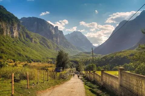
25.3 km↑ 571 m2½–3½ h
Loop
262 km↑ 6,918 m4–5 days
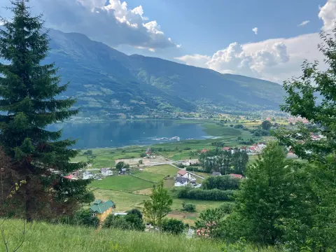
25.5 km↑ 112 m1½–2 h
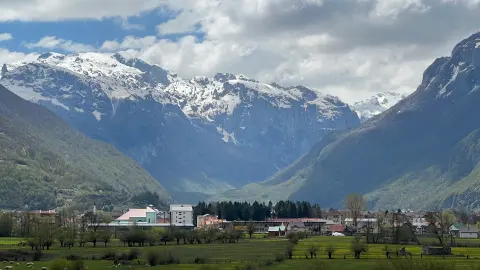
2.4 km↑ 218 m50–70 min
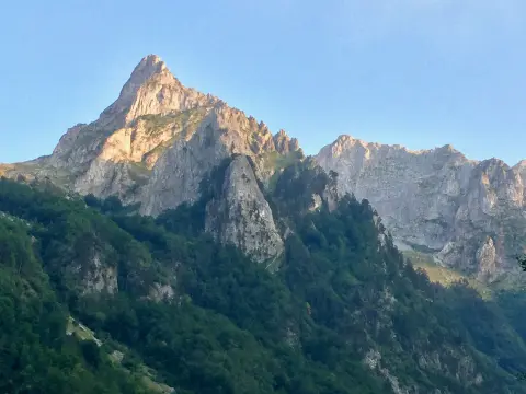
8.8 km↑ 279 m60–85 min
12.8 km↑ 73 m50–70 min
Loop28.2 km↑ 879 m3–4½ h
Times and grades are estimates. Conditions change: check the weather and local information before you set out.

Ask about Montenegro
Ask me about destinations, restaurants or activities.
