The largest climbing area in the Prokletije: around 65 equipped routes in compact limestone near Ali-paša Springs, a 15–20 minute walk from Gusinje.
The largest climbing area in the Prokletije: around 65 equipped routes in compact limestone near Ali-paša Springs, a 15–20 minute walk from Gusinje.
In the valleys south of Gusinje, near Ali-paša Springs, sport climbing has been developing since 2008. According to the Gusinje guidebook (Geoquest, 2009), there are around 65 fully equipped routes in six sectors here, in compact limestone with ledges and pockets; montenegro.travel mentions around 100 routes in the entire Prokletije, of which about ten are for beginners and more than half are hard.
The sectors have different orientations, so climbing is possible even on warm days. Nearby are also the Đerani, Troja, and Domaćin sectors (in Grbaja).
Sources: montenegro.travel – Sport climbing (https://www.montenegro.travel/me/istrazi-crnu-goru/priroda-i-avanturizam/sportsko-penjanje); guidebook “Climbing guide Gusinje” (Geoquest, 2009, montenegroclimbing.net); coordinates: © OpenStreetMap contributors (ODbL).
The data is indicative and for planning purposes; the number and grades of routes change as climbing areas are being equipped. For the current guidebook, check with local climbing clubs.
Places on this route
Emergency: 112. Mountain rescue service available via 112.
Emergency number in Montenegro: 112.
Good to know
Best season
From April/May to October/November.
Getting there
From Gusinje towards Ali-paša Springs, then a 15–20 minute walk to the sectors.
An easy one-way cycling trail from Alipašini izvori to Gerani: 4,3 km, 107 m of ascent, mixed surface and springs along the way. It takes about 30 min of riding without breaks.
4.3 km107 m25–35 min
View trail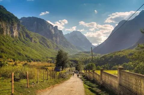
Circular cycling route 25.3 km long starts from Gusinje and returns to Gusinje. It leads through Prokletije National Park, with an ascent of 571 m and the highest point at 1314 m above sea level.
25.3 km571 m2½–3½ hLoop
View trail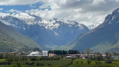
A short and easy one-way trail from Gusinje to Ali-pašini izvori. The length is 2.4 km, with 218 m of ascent and an estimated duration of 1 h without breaks.
2.4 km218 m50–70 min
View trail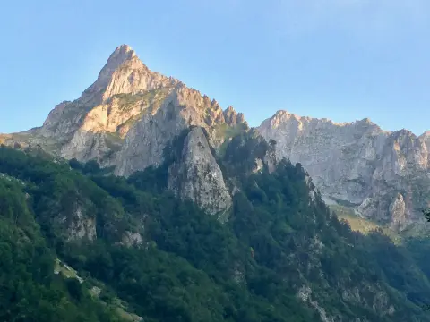
Cycling trail GU02 is 8.8 km long and leads from Gusinje through Prokletije National Park. It has a total ascent of 279 m, a mostly asphalt surface, and takes about 1 h 10 min without breaks.
8.8 km279 m60–85 min
View trail
A cycling route 262.2 km long with a total ascent of 6918 m. It leads through Biogradska Gora National Park and past Mojkovac, Plav and Gusinje, along mountain huts and viewpoints.
262 km6,918 m4–5 days
View trail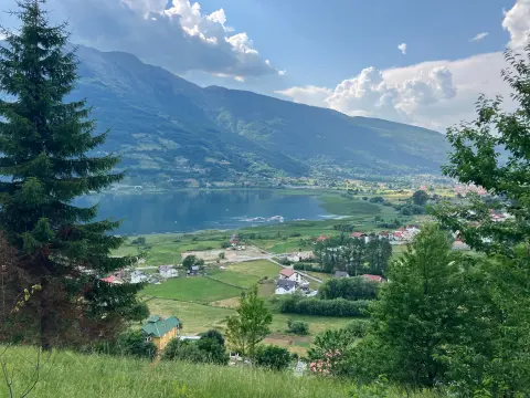
The Biking Trail PL01 offers 25.5 km of easy riding mostly on asphalt through the surroundings of Plav. The total ascent is 112 m, descent 118 m, and the ride without breaks takes about 1 h 30 min.
25.5 km112 m1½–2 h
View trail
Grnčar is a circular cycling route near Gusinje, 12.8 km long. The route is of moderate difficulty, ridden on asphalt/concrete (61%) and gravel (39%), with a total ascent and descent of 73 m each.
12.8 km73 m50–70 minLoop
View trailThe Kuti bicycle trail connects Andrijevica and Gusinje. Its length is 28,2 km, total ascent is 879 m, and the highest point is 1501 m a.s.l.; the surface is mostly asphalt/concrete.
28.2 km879 m3–4½ h
View trailTimes and grades are estimates. Conditions change: check the weather and local information before you set out. Map and data sources →
