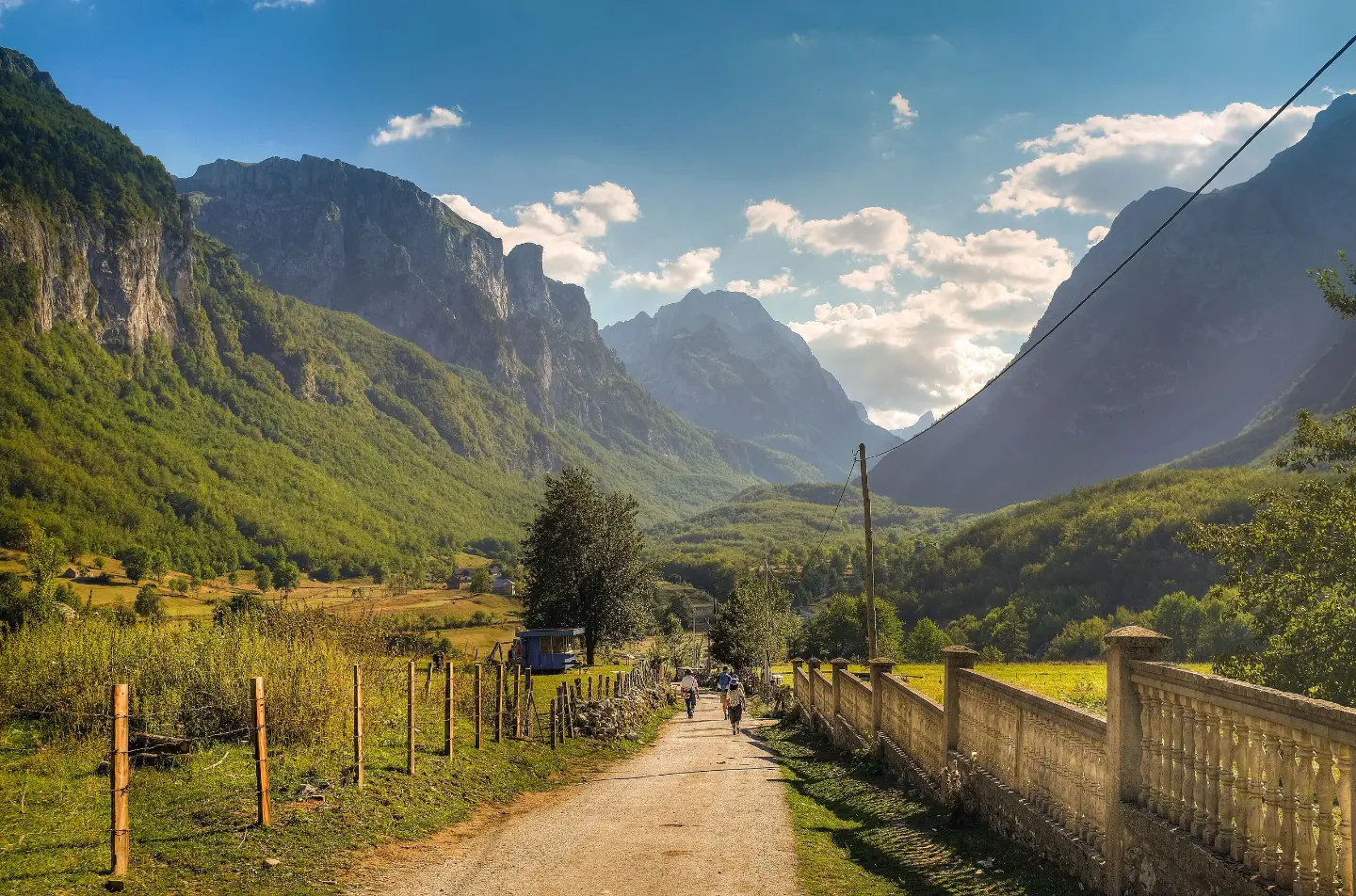
Circular cycling tour from Gusinje through Prokletije National Park, with a combination of asphalt and gravel.
Circular cycling route 25.3 km long starts from Gusinje and returns to Gusinje. It leads through Prokletije National Park, with an ascent of 571 m and the highest point at 1314 m above sea level.
The route is circular, starts and ends in Gusinje and is 25.3 km long. The lowest point is at 918 m above sea level, and the highest at 1314 m above sea level. The ascent is 571 m and the descent 574 m, so the tour is demanding.
The surface is mixed: gravel makes up 47%, asphalt or concrete 40%, and dirt and forest trails 13%. Riding without breaks takes about 2 hours and 50 minutes.
The route passes through Prokletije National Park. Along the route there are fountains and drinking water springs, shelters and camps, Grlja Waterfall at 5.5 km and Krš Čekića Peak at 23.9 km. Nearby are Lake Plav (about 8.5 km) and Plav (about 9.8 km).
Due to its length, ascent and mixed surface, the route is intended for cyclists with good fitness and a bicycle suitable for gravel. A morning start and checking the weather forecast are recommended.
What this difficulty means
Long distances, big climbs or technical sections. For fit, experienced riders.
Places on this route
Move along the profile to follow the route on the map; switch on 3D for the terrain.
↑ 571 m · ↓ 574 m · highest point 1,314 m
Along the way
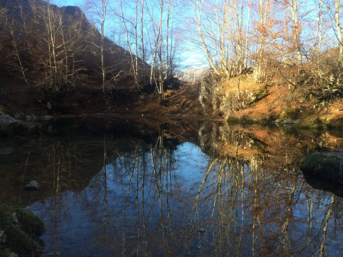
The spring is located at 6.8 km from the start, at 1030 m above sea level.
The waterfall is located at 5.5 km from the start of the route, at 986 m above sea level.
The peak is located at 23.9 km from the start, at 973 m above sea level.
There are several shelters and camps along the route, including locations at 5.5 km, 9.9 km and 19.8 km.
Bring enough water and replenish supplies at fountains and springs along the route.
Check the weather forecast before departure; in the mountains the weather changes quickly.
Use a bicycle suitable for gravel and bring basic repair tools.
Start in the early morning hours and allow for 2 hours and 50 minutes of riding without breaks.
Respect the rules of Prokletije National Park and do not leave litter.
Mountainous terrain can bring fog and sudden weather changes. Before departure check the forecast, and in case of accident call 112.
Emergency number in Montenegro: 112.
Good to know
Best season
The best period for riding is from late spring to early autumn, when trails are dry and temperatures moderate. After heavy rainfall, gravel can be slippery.
Getting there
The route starts in Gusinje. At the beginning of the route there is a parking lot, and nearby is the Gusinje Bus Station.
The route is 25.3 km long and is circular.
Estimated duration without breaks is 2 hours and 50 minutes.
On our difficulty scale, the route is demanding, with total ascent of 571 m and descent of 574 m.
It starts and ends in Gusinje; at the beginning there is a parking lot and the Gusinje Bus Station.

262 km↑ 6,918 m4–5 days
12.8 km↑ 73 m50–70 min
Loop
25.5 km↑ 112 m1½–2 h
8.8 km↑ 279 m60–85 min
2.4 km↑ 218 m50–70 min
28.2 km↑ 879 m3–4½ h
6.6 km↑ 1,263 m4½–6 h
4.3 km↑ 107 m25–35 min
Times and grades are estimates. Conditions change: check the weather and local information before you set out.

Ask about Montenegro
Ask me about destinations, restaurants or activities.
