A demanding ascent from Gusinje to the summit of Velji vrh with almost 1300 metres of elevation gain.
The trail of 6.6 km leads from Gusinje to the summit of Velji vrh (2196 m a.s.l.) with a total ascent of 1263 m. It is demanding and intended for experienced hikers seeking a true high-mountain challenge.
The trail starts in Gusinje at an altitude of 919 m and ends at Velji vrh (2196 m a.s.l.), covering 1263 metres of ascent over just 6.6 km. Already within the first kilometre and a half you pass two water springs – a useful refreshment at the start of a strenuous day.
The terrain surface is varied: asphalt and concrete make up around 22% of the route, gravel road 29%, and the rest consists of dirt and forest paths. The trail is marked with red-and-white waymarks, which makes navigation easier both in dense forest and on open terrain above the treeline.
Around 5.0 km from the start, at an altitude of 1806 m, there is another water spring – a welcome rest stop before the final push to the summit. The summit itself offers a panoramic view of the surrounding mountain terrain, and Plavsko jezero can be seen in the distance.
The trail is one-way, so you need to arrange transport or organise a pick-up at the summit. Due to the elevation gain and length, it is recommended for experienced hikers in good physical condition.
What this difficulty means
Steep, rocky or exposed passages and a long day out. For fit, sure-footed hikers with mountain experience.
Places on this route
Move along the profile to follow the route on the map; switch on 3D for the terrain.
↑ 1,263 m · ↓ 0 m · highest point 2,189 m
Along the way
The end point of the trail and its main objective. The summit offers a wide view of the mountain landscape, and is reached after almost 1300 metres of ascent.
Around 5.0 km from the start, just before the final ascent, there is a water spring – an ideal place for a short rest and to top up your water supply.
At 1.1 km and 1.7 km from the start there are two water springs, which make the beginning easier and provide a welcome refreshment in the first phase of the ascent.
The trail combines asphalt sections, gravel road and forest paths, so the hiker passes through different landscapes – from lower forests to high-mountain terrain.
Plavsko jezero, located about 6.0 km from the trail, is visible from the higher parts of the ascent and provides a beautiful backdrop to the mountain experience.
Set off early in the morning to avoid afternoon thunderstorms, which are frequent in the mountains during summer.
Carry enough water, although there are several springs along the trail – you can never be certain they are active throughout the entire season.
The trail is one-way – arrange transport or a pick-up at Velji vrh in advance.
Footwear with good grip and ankle support is essential due to the steep and occasionally slippery terrain.
Bring a warm and windproof jacket; the temperature at the summit can be significantly lower than in Gusinje.
Allow around 5 hours of walking without breaks – with breaks, plan for a full day.
This is a high-mountain trail with a pronounced ascent – thunderstorms can develop in the afternoon, so an early start is advisable. Fog and strong winds are possible at higher sections; do not continue the ascent if weather conditions deteriorate. In case of emergency, call 112.
Emergency number in Montenegro: 112.
Good to know
Best season
The trail is most accessible from June to October, when the high-mountain sections are free of snow. Outside that period, it is recommended to check snow conditions at the summit.
Getting there
The trail begins near Gusinje, approximately 0.9 km from the village itself. Gusinje can be reached by road from the direction of Plav, which is about 7.4 km away.
The trail is 6.6 km long with a total ascent of 1263 m, from the starting point at 919 m a.s.l. to the summit at 2196 m a.s.l.
The estimated duration without breaks is about 5 hours. With breaks and rest at the top, plan for a full day.
The trail is rated as demanding and is recommended for experienced hikers in good physical condition, due to the high elevation gain and length.
Yes, the trail is marked with red-and-white markings along the entire route.
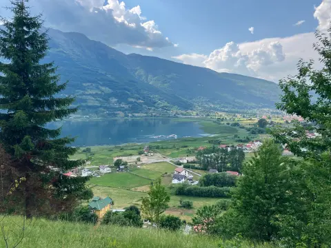
Cycling · Gusinje
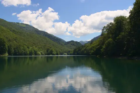
Cycling · Šiško Lake · Biogradska Gora National Park
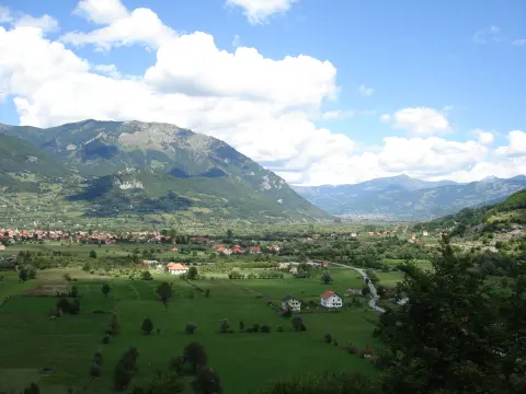
Cycling · Gusinje
Cycling · Andrijevica
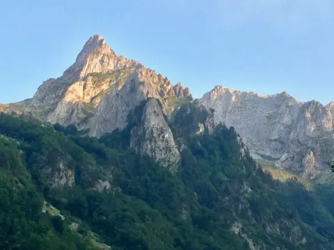
Cycling · Gusinje · Prokletije National Park
Cycling · Gusinje · Prokletije National Park
Walking · Gusinje
Hiking · Gusinje
Times and grades are estimates. Conditions change: check the weather and local information before you set out. Map and data sources →

