A gentle mountain walk through highland areas above Gusinje, suitable for all ages.
A short and easy 2.7 km hiking route leads from Čardak via Valje to Duljov katun. The trail is one-way, with a gentle ascent and a somewhat more pronounced descent, at elevations between 1804 and 1967 m above sea level.
The trail starts at Čardak and leads towards Valje, ending at Duljov katun. The total length is 2.7 km, making it one of the shorter mountain routes in this part of Montenegro. The estimated walking time without breaks is about 1 hour.
The terrain is a dirt/forest trail through a mountain area at elevations between 1804 and 1967 m above sea level. The ascent is 104 m and the descent 162 m, meaning the endpoint is lower than the starting point. The surface is even and suitable for hiking footwear.
The trail is rated as easy and is suitable for beginner hikers, families with children, and anyone who wants a shorter walk in a mountain setting. The wider surrounding area includes Lake Plav (~6.6 km) and the town of Plav (~8.0 km), which can be visited in combination with this route.
Since the trail goes in one direction, it is necessary to arrange transport or return to the starting point in advance.
What this difficulty means
Well-made paths with gentle gradients. Fine for families and anyone used to walking a few hours.
Places on this route
Move along the profile to follow the route on the map; switch on 3D for the terrain.
↑ 104 m · ↓ 162 m · highest point 1,967 m
The trail passes through Valje, part of a highland setting at elevations above 1800 m.
The route ends at Duljov katun, a traditional mountain location in the heart of the Montenegrin mountain region.
About 6.6 km from the trail is Lake Plav, which can be visited as an addition to the trip.
The starting point is about 5 km from Gusinje, and the town of Plav is accessible about 8 km from the trail.
Bring enough water, as it is not known whether there are drinking water sources along the trail.
Wear sturdy hiking footwear suitable for dirt and forest terrain.
Start in the morning to avoid afternoon thunderstorms, which are common in the mountains during the summer months.
Since the trail goes only in one direction, arrange transport or a pickup at Duljov katun in advance.
Bring a light windbreaker or an extra layer of clothing – at elevations around 1900 m the temperature can drop quickly.
Check the weather forecast before departure, especially in September and October.
The trail is located at elevations between 1804 and 1967 m, where weather conditions can change suddenly. In case of emergency, call emergency services at 112.
Emergency number in Montenegro: 112.
Good to know
Best season
The best period to visit the trail is from June to October. Outside this period, snow or difficult conditions are possible on the mountain.
Getting there
The trailhead is located about 5 km from Gusinje. Gusinje is reached by road, and from there to the starting point at Čardak by your own means of transport.
The trail is 2.7 km long.
The estimated walking time without breaks is about 1 hour.
The trail is rated as easy, with a total ascent of 104 m and descent of 162 m.
The recommended period is from June to October, when the mountain trails are most accessible.
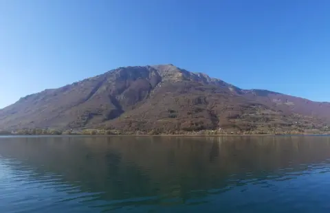
Hiking · Andrijevica
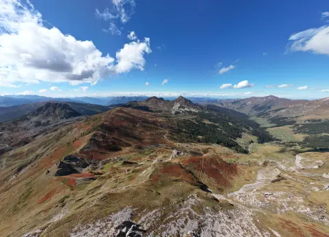
Hiking · Andrijevica · Prokletije National Park
Hiking · Gusinje
Hiking
Hiking · Lake Plav
Hiking · Gusinje
Hiking · Gusinje
Hiking · Lake Plav
Times and grades are estimates. Conditions change: check the weather and local information before you set out. Map and data sources →

