A demanding one-way hiking trail with 994 m of ascent, from Murino to Murinski katun.
The demanding hiking trail Murino – Murinski katun is 12.6 km long and has 994 m of total ascent. It runs mostly on a gravel road, and near the end offers a viewpoint, a spring, and a shelter.
The trail Murino – Murinski katun is 12.6 km long and runs in one direction. It starts in Murino at 844 m a.s.l. and climbs to the highest point at 1836 m a.s.l. The total ascent is 994 m, and the descent only 22 m, making the climb almost constant.
The terrain is mostly gravel road (90 %), with a smaller portion of asphalt/concrete (10 %). At 2.5 km from the start there is a drinking water fountain (971 m a.s.l.), and at 3.3 km another fountain (1028 m a.s.l.). In the final section, at 12.2 km, there is a spring (1822 m a.s.l.), at 12.4 km a viewpoint (1850 m a.s.l.), and at 12.6 km a shelter (1820 m a.s.l.) and a fountain (1813 m a.s.l.).
The trail is demanding due to the large ascent and duration. The estimated walking time without breaks is 4 h 55 min. The best months to go are June, July, August, September, and October. Nearby are Gusinje, Plavsko jezero, and Plav.
What this difficulty means
Steep, rocky or exposed passages and a long day out. For fit, sure-footed hikers with mountain experience.
Places on this route
Move along the profile to follow the route on the map; switch on 3D for the terrain.
↑ 994 m · ↓ 22 m · highest point 1,836 m
At 2.5 km (971 m a.s.l.) and 3.3 km (1028 m a.s.l.) from the start there are drinking water fountains.
At 12.2 km from the start there is a spring at 1822 m a.s.l.
At 12.4 km from the start the trail passes by a viewpoint at 1850 m a.s.l.
At 12.6 km there is a shelter at 1820 m a.s.l. and a fountain at 1813 m a.s.l.
Bring enough water even though there are fountains and a spring along the trail; in mountain conditions, hydration is important.
Wear sturdy hiking boots and layered clothing due to the elevation difference and changeable weather.
Set off early in the morning; the trail itself takes about 4 h 55 min without breaks, and with breaks plan for a full day.
Check the forecast before setting out and follow the trail markings, especially in fog.
Due to the long ascent and gravel terrain, hiking poles are useful.
Charge your phone and bring a power bank; in an emergency, call 112.
The trail is demanding and leads to an altitude of up to 1836 m a.s.l., so be prepared for mountain conditions and rapid weather changes. In case of fog or thunder, stay in a safe area and follow the trail markings. In emergencies, call 112.
Emergency number in Montenegro: 112.
Good to know
Best season
The best months to go are June, July, August, September, and October. Even during the warmer part of the year, check local mountain conditions before setting out.
Getting there
The trail starts in Murino. Nearby are Gusinje (about 6.1 km), Plavsko jezero (about 7.0 km), and Plav (about 7.9 km).
The trail is 12.6 km long and runs in one direction.
The estimated duration without breaks is 4 h 55 min.
The trail is demanding. The total ascent is 994 m, and the total descent is 22 m.
The best months are June, July, August, September and October.
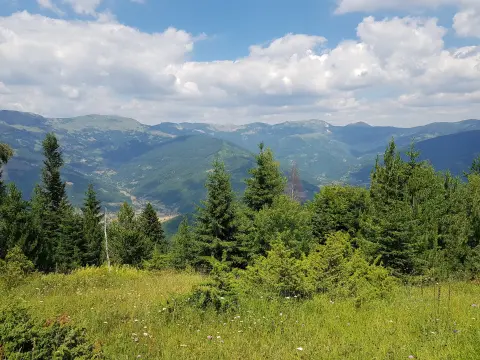
Hiking
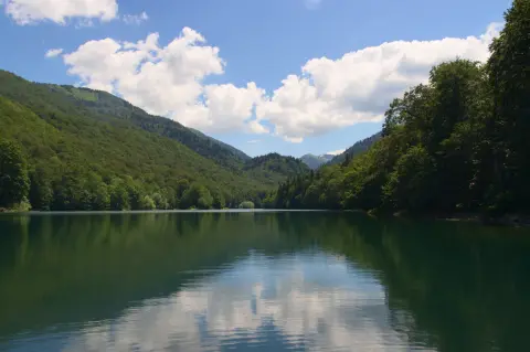
Cycling · Šiško Lake · Biogradska Gora National Park
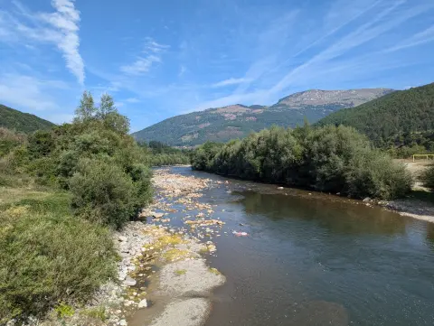
Cycling · Andrijevica
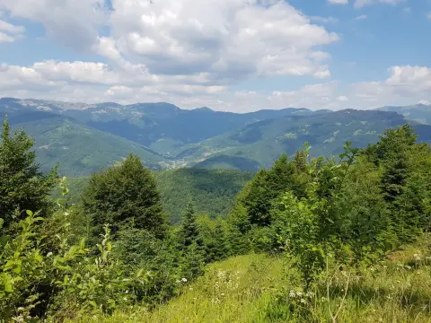
Cycling · Plav
Hiking · Lake Plav
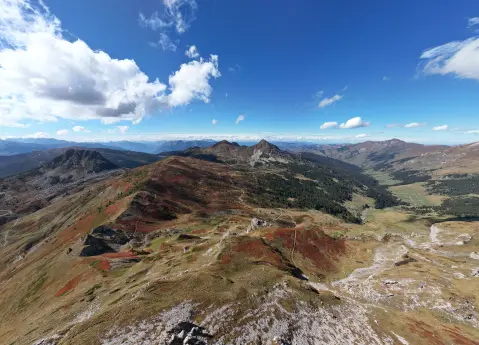
Hiking · Andrijevica · Prokletije National Park
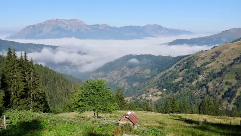
Hiking · Lake Plav
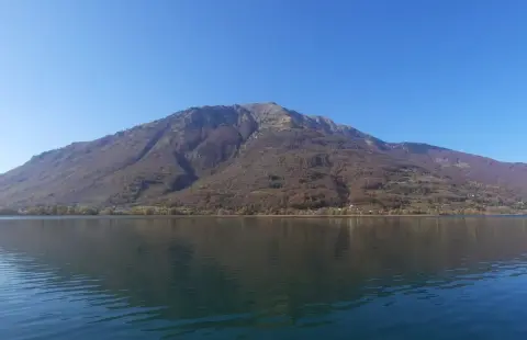
Hiking · Andrijevica
Times and grades are estimates. Conditions change: check the weather and local information before you set out. Map and data sources →

