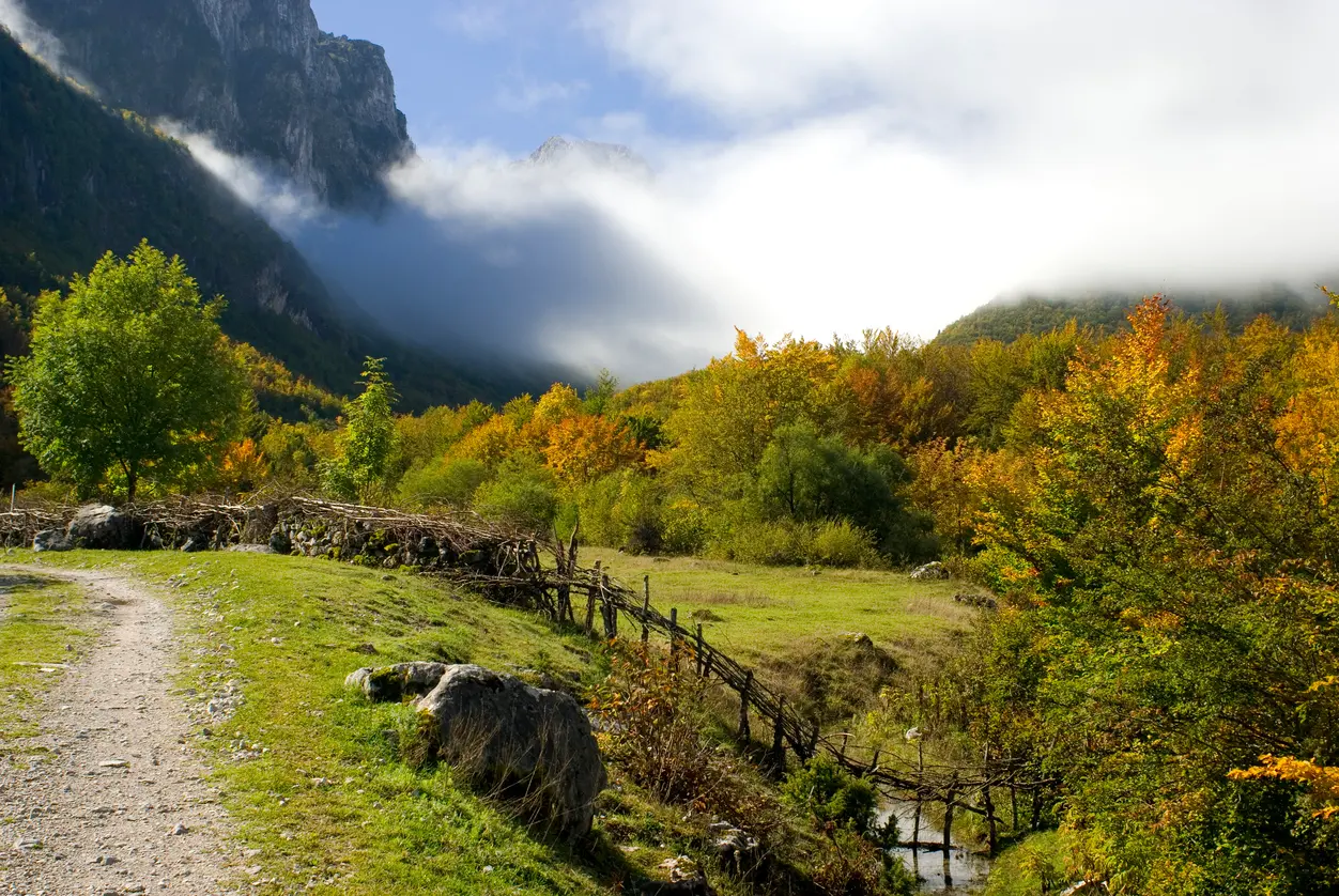
Prokletije National Park has 9 hiking trails on our map. Day hikes: 7, from 1.3 to 14.0 km. Multi-day routes: 2, up to 181 km.
By difficulty: Easy 3, Moderate 1, Difficult 2, Expert 3. Ascent on day hikes: from 18 to 1,340 m. Highest point on these trails: 2,485 m (Maja Rosit (Rosni vrh) – Katun Zastan).
From the shortest to the longest. Each name opens the trail with its map, elevation profile and GPX file.
| Trail | Length | Ascent | Highest point | Walking time | Difficulty | Route type |
|---|---|---|---|---|---|---|
| Krošnjin prolaz – viewpoints in Prokletije NP | 1.3 km | 67 m | 2,187 m | 45–65 min | Expert | One way |
| Thematic Trail | 3.4 km | 213 m | 2,194 m | 65–90 min | Easy | One way |
| Hridsko Lake | 3.7 km | 22 m | 2,054 m | 70–95 min | Easy | One way |
| Maja Rosit (Rosni vrh) – Katun Zastan | 4.4 km | 18 m | 2,485 m | 2½–3½ h | Easy | One way |
| Grbaja: Škala – Katun Popadija | 5.6 km | 434 m | 1,531 m | 2–2½ h | Moderate | One way |
| Vusanje – Zla Kolata | 9.6 km | 1,340 m | 2,440 m | 5½–8 h | Difficult | One way |
| Starac – Čakor | 14.0 km | 1,030 m | 2,411 m | 6–8 h | Difficult | One way |
| Via Dinarica: Andrijevica – Prokletije (Hridsko jezero) | 56.8 km | 3,721 m | 2,345 m | 3–4 days | Expert | One way · Multi-day |
| Peaks of the Balkans – circular tour | 181 km | 9,342 m | 2,267 m | 9–12 days | Expert | Loop · Multi-day |
Each dot is a trailhead. Zoom in to see the routes; tap a dot to open the trail.
Prokletije National Park has 9 hiking trails on our map. Day hikes: 7, from 1.3 to 14.0 km. Multi-day routes: 2, up to 181 km.
Trails graded easy: Thematic Trail (3.4 km), Hridsko Lake (3.7 km), Maja Rosit (Rosni vrh) – Katun Zastan (4.4 km).
Shortest: Krošnjin prolaz – viewpoints in Prokletije NP (1.3 km). Longest: Peaks of the Balkans – circular tour (181 km).
Highest point on these trails: 2,485 m (Maja Rosit (Rosni vrh) – Katun Zastan).
Loop trails: Peaks of the Balkans – circular tour (181 km).
Multi-day routes: Via Dinarica: Andrijevica – Prokletije (Hridsko jezero) (56.8 km), Peaks of the Balkans – circular tour (181 km).
Routes come from OpenStreetMap and are checked by our editors; distances, ascent and times are calculated from the line and the Copernicus elevation model. Map and data sources →

