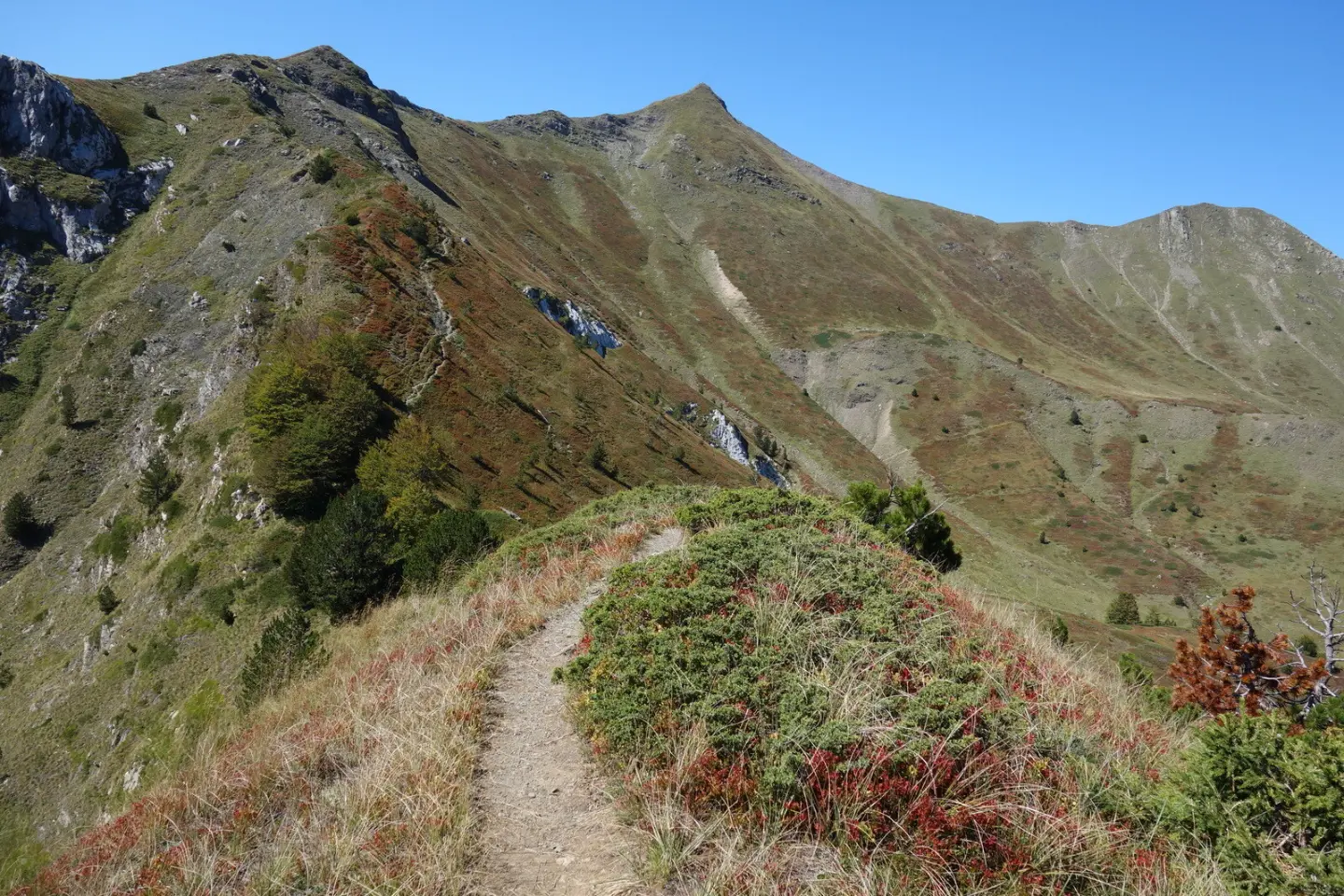
A moderate hiking tour through Prokletije National Park, with a drinking fountain and a historic structure along the route.
A moderate trail in Prokletije National Park, 5.6 km long, with a total ascent of 434 m. It leads from Škala to Katun Popadija along a gravel road, passing a drinking fountain and the historic structure Štala.
The trail begins at Škala in Grbaja, within Prokletije National Park. The nearest settlement to the starting point is Gusinje, approximately 5.5 km away. The route is 5.6 km long and runs in one direction to Katun Popadija.
The entire trail follows a gravel road. The total ascent is 434 m and the descent only 18 m. The lowest point is at 1108 m above sea level, the highest at 1531 m above sea level. The estimated duration without breaks is 2 h 10 min, making this a moderately difficult tour.
At 2.9 km from the start there is a drinking fountain at 1409 m above sea level. At 3.4 km from the start, the trail passes the historic structure Štala at 1441 m above sea level. The trail is suitable for hiking and recreation during the warmer part of the year.
What this difficulty means
Longer or steeper sections and uneven ground. You need basic fitness, sturdy shoes and a little mountain experience.
Places on this route
Move along the profile to follow the route on the map; switch on 3D for the terrain.
↑ 434 m · ↓ 18 m · highest point 1,531 m
Along the way
At 2.9 km from the start, at 1409 m above sea level, there is a drinking fountain.
At 3.4 km from the start, at 1441 m above sea level, the trail passes the historic structure Štala.
The entire trail lies within Prokletije National Park.
Wear hiking boots due to the gravel surface.
Bring enough water, even though there is a drinking fountain on the trail at 2.9 km.
Set out early in the morning, especially during the warmer months.
Check the weather forecast, as the trail is in a mountain area.
Respect the rules of Prokletije National Park.
Plan your return, as the trail runs in one direction only.
The trail is in a mountain area; always check the weather forecast. In the event of bad weather, take shelter and do not move during thunderstorms. For emergencies call 112.
Emergency number in Montenegro: 112.
Good to know
Best season
The best months are May, June, July, August, September and October. In other months, mountain conditions can be more demanding.
Getting there
The trailhead is approximately 5.5 km from Gusinje, which is the nearest settlement to the start of the trail.
The trail is 5.6 km long.
The estimated duration without breaks is 2 h 10 min.
The trail is of moderate difficulty.
May, June, July, August, September and October.
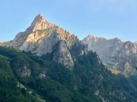
Cycling · Gusinje · Prokletije National Park
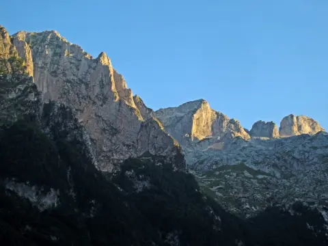
Walking · Gusinje · Prokletije National Park
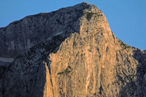
Walking · Gusinje · Prokletije National Park
Climbing · Gusinje · Prokletije National Park
Walking · Gusinje · Prokletije National Park
Walking · Gusinje · Prokletije National Park
Hiking · Gusinje · Prokletije National Park
Cycling · Gusinje
Times and grades are estimates. Conditions change: check the weather and local information before you set out. Map and data sources →

