Short but very demanding rocky trail to the summit of Očnjak in Prokletije National Park.
A rocky hiking trail 0.9 km long with 302 m of ascent leads to the summit of Očnjak in Prokletije National Park. It passes two viewpoints and takes about 1 h 5 min without breaks.
The trail starts at the viewpoint at 1701 m above sea level, in Prokletije National Park. Near the start there is also a second viewpoint at 1671 m above sea level. After that, the trail climbs steeply over rocky terrain and leads to the destination area at the summit of Očnjak at 2185 m above sea level. The trail is 0.9 km long in one direction, with a total ascent of 302 m and only 5 m of descent.
The trail is rated very demanding on our scale and intended for experienced hikers. According to the SAC hiking scale, it carries the T5 grade. The surface is 100% rocky, so sure-footedness and good hiking footwear are required. The estimated walking time without breaks is 1 h 5 min.
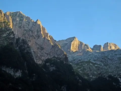
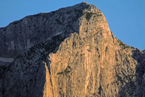
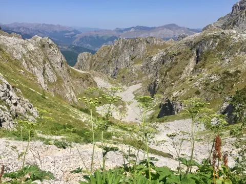
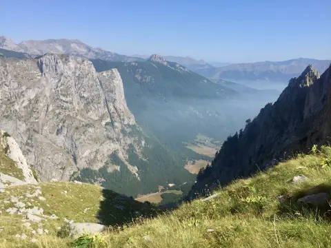
Views open up along the trail, especially from the two viewpoints in the initial section. Due to the altitude and open rocky terrain, conditions can change quickly. Bring enough water and sun protection.
What this difficulty means
Very long or alpine terrain where hands may be needed, with few ways out. Only for experienced mountaineers in stable weather.
Mountain hiking grade SAC T5 (scale T1–T6).
Places on this route
Move along the profile to follow the route on the map; switch on 3D for the terrain.
↑ 302 m · ↓ 5 m · highest point 1,985 m
Along the way
End point at 0.9 km from the trailhead.
Located at the very start of the trail (0.0 km).
Located 0.1 km from the start of the trail.
Bring enough water for the entire hike.
Wear hiking boots with good soles due to the rocky terrain.
Start early in the morning and check the weather forecast before setting off.
Do not go alone: the trail is very demanding (T5) and for experienced hikers.
In case of an accident, call the emergency number 112.
The trail is very demanding (T5) and leads over rocky terrain, so sure-footedness and experience are required. At altitudes above 1700 m above sea level, fog and thunderstorms can appear quickly. In case of an accident, call 112.
Emergency number in Montenegro: 112.
Good to know
Best season
The most favorable period is from late spring to early autumn, when the rocky surface is usually dry and free of snow. In winter and early spring the trail can be icy.
Getting there
The trailhead is in Prokletije National Park, about 6.6 km from Gusinje.
The trail is 0.9 km long in one direction.
The estimated duration without breaks is 1 h 5 min.
Very demanding for experienced hikers (SAC T5), with 100% rocky terrain and a total ascent of 302 m.
In Prokletije National Park; the nearest place to the start is Gusinje, about 6,6 km away.
Walking · Gusinje · Prokletije National Park
Walking · Gusinje · Prokletije National Park
Hiking · Gusinje · Prokletije National Park
Walking · Gusinje · Prokletije National Park
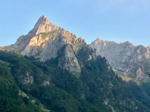
Cycling · Gusinje · Prokletije National Park
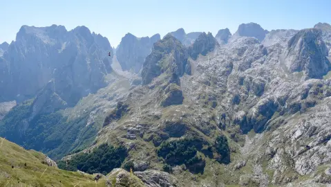
Climbing · Gusinje · Prokletije National Park
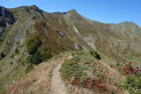
Hiking · Gusinje · Prokletije National Park
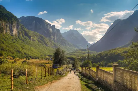
Cycling · Gusinje · Prokletije National Park
Times and grades are estimates. Conditions change: check the weather and local information before you set out. Map and data sources →

