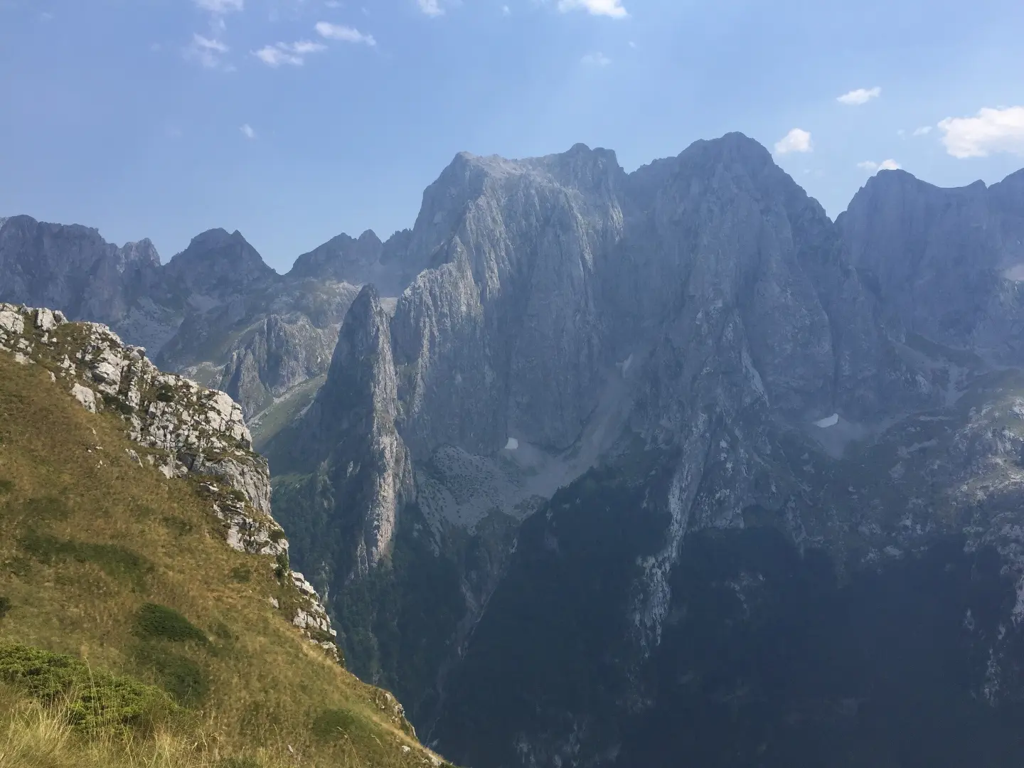
High limestone cliffs above the Grbaja valley in Prokletije National Park – alpine, traditional climbing for experienced climbers.
High limestone cliffs above the Grbaja valley in Prokletije National Park – alpine, traditional climbing for experienced climbers.
The Grbaja valley in Prokletije National Park is surrounded by steep limestone cliffs over 300 m high; the Karanfili wall above the valley is about 800 m high. According to the Gusinje guidebook, there are only a few poorly equipped routes here, so your own protection equipment (friends, pitons) is required.
There is also an equipped sport sector Domaćin in the valley. This is not a sport climbing area – it is alpine terrain.
Sources: guidebook „Climbing guide Gusinje“ (Geoquest, 2009); SummitPost (Karanfili); montenegro.travel – Sport climbing (https://www.montenegro.travel/me/istrazi-crnu-goru/priroda-i-avanturizam/sportsko-penjanje).
The data is indicative and for planning purposes; the number and grades of routes change as climbing areas are equipped. Ask local climbing clubs for the current guidebook.
Places on this route
Alpine terrain: rockfall, sudden weather changes, poorly equipped routes. Only for experienced alpinists. Emergency services and Mountain Rescue Service: 112.
Emergency number in Montenegro: 112.
Good to know
Best season
Summer and early autumn.
Getting there
From Gusinje by road through the Grbaja valley (about 7–8 km); there is a mountain hut in the valley.
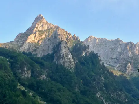
Cycling trail GU02 is 8.8 km long and leads from Gusinje through Prokletije National Park. It has a total ascent of 279 m, a mostly asphalt surface, and takes about 1 h 10 min without breaks.
8.8 km279 m60–85 min
View trail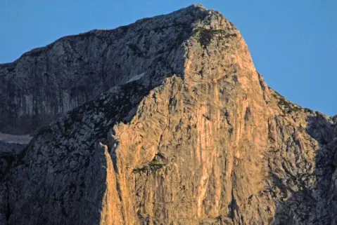
Šekijeva Trail is a moderate one-way hiking trail in Prokletije National Park. It is 3.8 km long, with a total ascent of 1099 m and a duration of approximately 5 h without breaks.
3.8 km1,099 m4½–6 h
View trail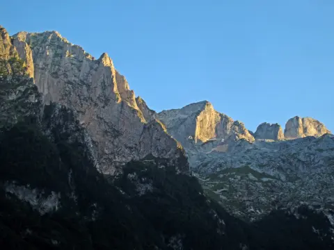
The trail is 2.3 km long, leading from an altitude of 1835 m down to 1141 m, exclusively in the direction of descent. Rocky terrain and a significant elevation drop make it demanding and suitable for more experienced hikers.
2.3 km1½–2 h
View trailA rocky hiking trail 0.9 km long with 302 m of ascent leads to the summit of Očnjak in Prokletije National Park. It passes two viewpoints and takes about 1 h 5 min without breaks.
0.9 km302 m55–80 min
View trail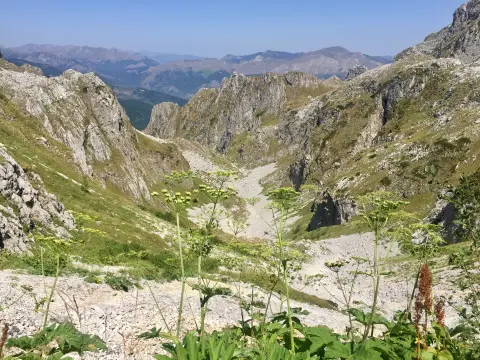
One-way, 1.3 km long, with a total ascent of 67 m and descent of 265 m. Leads from the Krošnjin prolaz pass (2165 m a.s.l.) past two viewpoints through Prokletije National Park.
1.3 km67 m45–65 min
View trail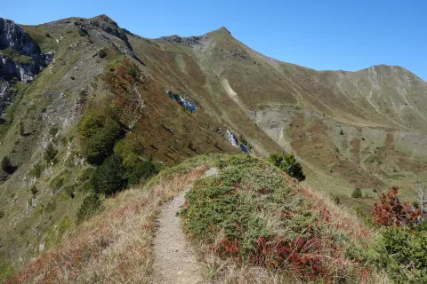
A moderate trail in Prokletije National Park, 5.6 km long, with a total ascent of 434 m. It leads from Škala to Katun Popadija along a gravel road, passing a drinking fountain and the historic structure Štala.
5.6 km434 m2–2½ h
View trail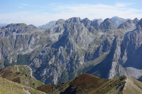
A short but highly demanding ridge trail, 1.7 km long, leading through the rocky terrain of Prokletije. Suitable exclusively for experienced hikers with appropriate equipment.
1.7 km144 m45–60 min
View trail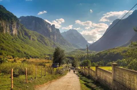
Circular cycling route 25.3 km long starts from Gusinje and returns to Gusinje. It leads through Prokletije National Park, with an ascent of 571 m and the highest point at 1314 m above sea level.
25.3 km571 m2½–3½ hLoop
View trailTimes and grades are estimates. Conditions change: check the weather and local information before you set out. Map and data sources →
