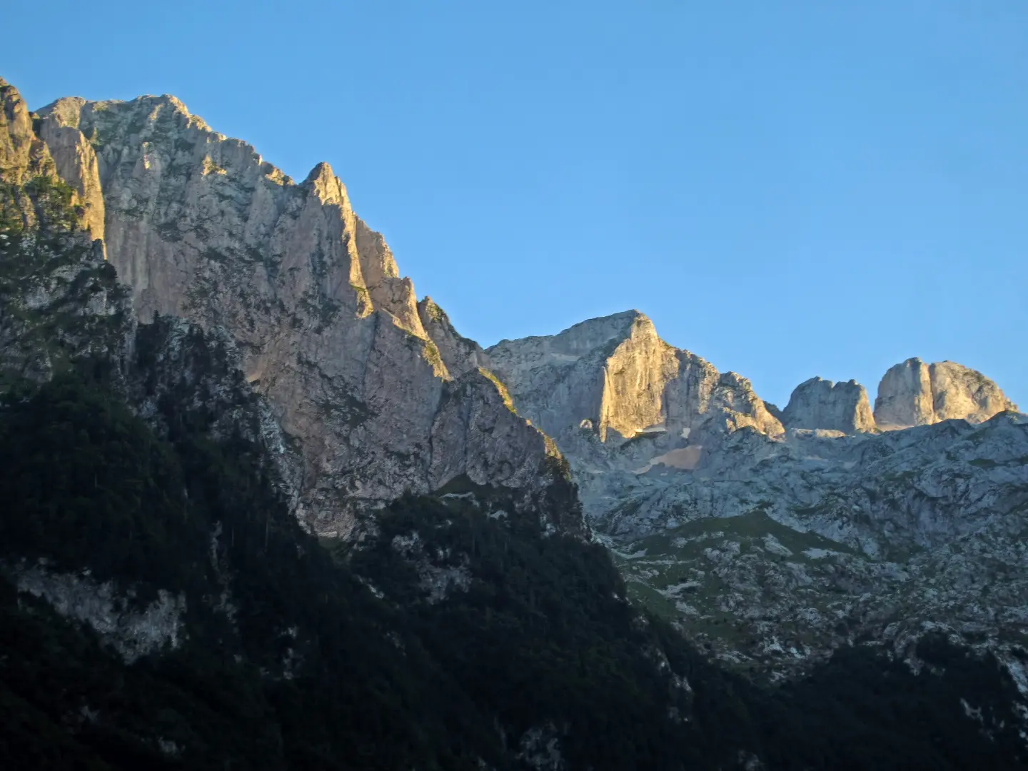
Descent trail through Prokletije with panoramic viewpoints and steep rocky terrain.
The trail is 2.3 km long, leading from an altitude of 1835 m down to 1141 m, exclusively in the direction of descent. Rocky terrain and a significant elevation drop make it demanding and suitable for more experienced hikers.
The Grebaje – Karanfili trail passes through Prokletije National Park and is completed entirely in one direction, from higher to lower elevations. The total descent is 695 m over just 2.3 km, which places the trail in the demanding category (SAC scale T3). The surface is predominantly rocky terrain (86%), with a smaller share of dirt and forest path.
Right at the very beginning, within the first few hundred metres, the trail passes two viewpoints at altitudes of 1701 m and 1671 m. Wide views of the Prokletije mountain area open up, making it worth stopping briefly.
Near the end of the trail, at around 2.2 km, there is a car park, and almost at the very exit (2.3 km) lies Suljova česma at 1143 m above sea level, where drinking water is available.
The trail is intended for hikers with experience on rocky terrain and good physical fitness. The estimated walking time without breaks is 1 h 40 min.
What this difficulty means
Steep, rocky or exposed passages and a long day out. For fit, sure-footed hikers with mountain experience.
Mountain hiking grade SAC T3 (scale T1–T6).
Places on this route
Move along the profile to follow the route on the map; switch on 3D for the terrain.
↑ 8 m · ↓ 695 m · highest point 1,835 m
Along the way
Just 0.5 km from the start, an open view of the Prokletije mountain area unfolds.
The second viewpoint, only 0.6 km from the beginning, offers another beautiful panorama before the steeper part of the descent.
A drinking water fountain located at 1143 m above sea level, near the very end of the trail – a practical and refreshing stop at the exit.
Wear mountain footwear with good ankle support – rocky terrain makes up 86% of the trail.
Set out early, especially during the summer months, to avoid afternoon thunderstorms characteristic of mountain areas.
The trail runs in one direction only – arrange transport in advance or organise a pick-up at the exit point in Karanfili.
Bring enough water; Suljova česma is only found near the end of the trail.
Use trekking poles – the significant descent of 695 m can be hard on the knees.
Check the weather forecast before setting out; fog and wet rocks can considerably hinder movement.
The trail is demanding and rocky – mountain footwear with good grip is mandatory. At altitudes above 1700 m, weather conditions can change quickly; fog and thunderstorms are possible, especially in the afternoon. In case of emergency, call the unified emergency number **112**.
Emergency number in Montenegro: 112.
Good to know
Best season
The recommended season is from June to September, when the high-altitude areas of Prokletije are generally passable. Outside this period, snow and ice are possible, further increasing the difficulty of the trail.
Getting there
The closest town to the start of the trail is Gusinje, approximately 6.7 km away. The trailhead at Grebaje is most easily reached by private vehicle; at the end of the trail, near Karanfili, a car park is available.
The trail is 2.3 km long and is completed exclusively in one direction, from Grebaje to Karanfili.
The estimated walking time without breaks is 1 h 40 min. With stops at the viewpoints and rest breaks, allow for somewhat more time.
The trail is rated as demanding (SAC scale T3). The total descent of 695 m on rocky terrain requires experience and appropriate equipment.
Given the altitude reaching up to 1835 m, the trail is most accessible in the summer season, roughly from June to September, when the mountain areas of Prokletije are largely free of snow.
Walking · Gusinje · Prokletije National Park
Walking · Gusinje · Prokletije National Park
Walking · Gusinje · Prokletije National Park
Hiking · Gusinje · Prokletije National Park
Cycling · Gusinje · Prokletije National Park
Climbing · Gusinje · Prokletije National Park
Cycling · Gusinje · Prokletije National Park
Hiking · Hridsko Lake · Prokletije National Park
Times and grades are estimates. Conditions change: check the weather and local information before you set out. Map and data sources →

