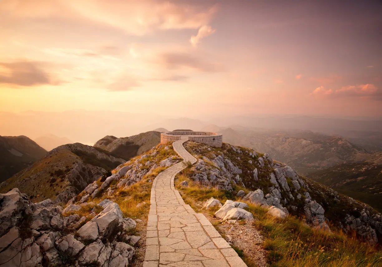
Lovćen National Park has 13 hiking trails on our map. Day hikes: 11, from 1.0 to 19.7 km. Multi-day routes: 2, up to 88.4 km.
By difficulty: Easy 3, Moderate 3, Difficult 4, Expert 3. Ascent on day hikes: from 83 to 1,418 m. Highest point on these trails: 1,671 m (Coastal Hiking Transversal).
From the shortest to the longest. Each name opens the trail with its map, elevation profile and GPX file.
| Trail | Length | Ascent | Highest point | Walking time | Difficulty | Route type |
|---|---|---|---|---|---|---|
| Treštenički vrh and Viewpoint | 1.0 km | 83 m | 1,480 m | 20–30 min | Easy | One way |
| Hiking Trail near Cetinje Monastery – NP Lovćen | 1.8 km | 266 m | 1,165 m | 55–80 min | Easy | One way |
| Ascent to the Jezerski Vrh Viewpoint – Lovćen National Park | 2.8 km | 350 m | 1,641 m | 1½–2 h | Moderate | One way |
| Kotor Ladder (Ladder of Kotor): Kotor – Špiljari – Krstac | 4.8 km | 1,074 m | 1,027 m | 4–5½ h | Difficult | One way |
| Bukovica – Davidova pećina (Lovćen) | 6.1 km | 156 m | 1,182 m | 1½–2½ h | Easy | One way |
| Lovćen: Ivanova korita – Velji Bostur – Kuk | 7.7 km | 244 m | 1,420 m | 2–3 h | Moderate | One way |
| Lovćen: Velji Bostur – Bukovica | 10.1 km | 265 m | 1,590 m | 3–4½ h | Moderate | One way |
| Kotor – Lovćen (Velji Bostur), trail 759 | 16.1 km | 1,418 m | 1,420 m | 6–8 h | Expert | One way |
| Cetinje Monastery – Ivanova korita | 16.5 km | 692 m | 1,337 m | 4½–6½ h | Difficult | One way |
| Krstac – Gornji Gačevići (Prčanj) | 17.3 km | 578 m | 1,420 m | 5–7 h | Difficult | One way |
| Ivanova Korita – King's Resting Place – Cetinje | 19.7 km | 216 m | 1,395 m | 5–7½ h | Difficult | One way |
| Cetinje Monastery – Kotor | 34.3 km | 1,738 m | 1,433 m | 2–3 days | Expert | One way · Multi-day |
| Coastal Hiking Transversal | 88.4 km | 4,606 m | 1,671 m | 4–6 days | Expert | One way · Multi-day |
Each dot is a trailhead. Zoom in to see the routes; tap a dot to open the trail.
Lovćen National Park has 13 hiking trails on our map. Day hikes: 11, from 1.0 to 19.7 km. Multi-day routes: 2, up to 88.4 km.
Trails graded easy: Treštenički vrh and Viewpoint (1.0 km), Hiking Trail near Cetinje Monastery – NP Lovćen (1.8 km), Bukovica – Davidova pećina (Lovćen) (6.1 km).
Shortest: Treštenički vrh and Viewpoint (1.0 km). Longest: Coastal Hiking Transversal (88.4 km).
Highest point on these trails: 1,671 m (Coastal Hiking Transversal).
Multi-day routes: Cetinje Monastery – Kotor (34.3 km), Coastal Hiking Transversal (88.4 km).
Routes come from OpenStreetMap and are checked by our editors; distances, ascent and times are calculated from the line and the Copernicus elevation model. Map and data sources →

