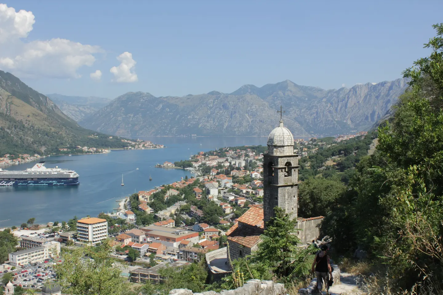
A demanding hiking tour from Kotor to Lovćen with 1418 m of ascent and viewpoints.
Hiking trail 759 leads from Dobrota Beach near Kotor to Lovćen National Park. The length is 16.1 km, with 1418 m of ascent and numerous viewpoints.
Trail 759 starts near Dobrota Beach and leads past Kotor. In one direction it climbs through Lovćen National Park, from the very seashore to high viewpoints.
The length of the trail is 16.1 km, with a total ascent of 1418 m and a descent of 61 m. The lowest point is at 3 m above sea level, and the highest at 1420 m above sea level. The estimated walking time without breaks is 6 hours and 50 minutes. The trail is very demanding and intended for experienced hikers.
The surface is mixed: 47% asphalt or concrete, 29% earth or forest trail and 24% gravel. The long ascent requires good fitness and a full-day plan.
Along the way there are numerous viewpoints, including View Point On Kotor at 1191 m above sea level, Krstac Pass at 937 m above sea level and the summit of Lučića Grm at 1154 m above sea level. The trail also passes directly by St. John’s Fortress.
What this difficulty means
Very long or alpine terrain where hands may be needed, with few ways out. Only for experienced mountaineers in stable weather.
Mountain hiking grade SAC T1 (scale T1–T6).
Move along the profile to follow the route on the map; switch on 3D for the terrain.
↑ 1,418 m · ↓ 61 m · highest point 1,420 m
Along the way
The trail passes directly next to the fortress.
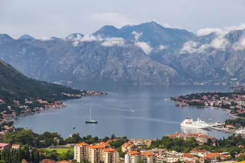
View of Kotor from 1191 m above sea level at 11.5 km from the start.
Pass at 937 m above sea level at 7.1 km from the start.
Summit at 1154 m above sea level at 9.3 km from the start.
The trail is located in Lovćen National Park.
Because of the length and ascent, start early in the morning and plan for a full-day outing.
Bring enough water; two springs have been recorded along the trail, but do not rely on them for drinking.
Wear sturdy hiking footwear because asphalt, gravel and forest trail alternate.
Check the weather forecast before setting off; at higher sections it can be windy and foggy.
Bring layered clothing and sun protection.
The trail is very demanding and leads through mountainous terrain. Fog and thunderstorms can quickly change conditions at altitudes above 1000 m. In case of an accident, call 112.
Emergency number in Montenegro: 112.
Good to know
Best season
The most suitable time is from late spring to early autumn, when the high sections are mostly free of snow. In summer, start early because of the heat.
Getting there
The start of the trail is at Dobrota Beach, near Kotor. At the very beginning there are the Kamelija car park, the Benovo car park and a bus station.
The length of the trail is 16.1 km in one direction.
The estimated duration without breaks is 6 hours and 50 minutes.
The trail is very demanding and intended for experienced hikers, with a total ascent of 1418 m.
The trail is marked with red-and-white markings.

195 km↑ 3,259 m2–3 days

406 km↑ 10,191 m6–8 days
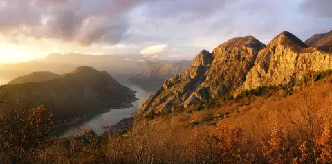
4.8 km↑ 1,074 m4–5½ h
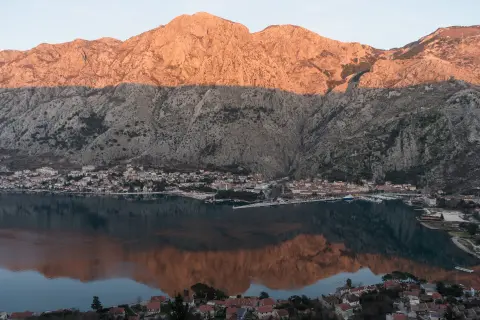
4.7 km↑ 473 m2–2½ h
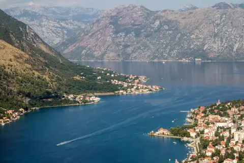
0.4 km↑ 50 m15–20 min
Loop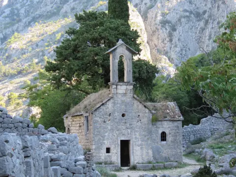
4.7 km↑ 799 m3–4 h
Times and grades are estimates. Conditions change: check the weather and local information before you set out.

Ask about Montenegro
Ask me about destinations, restaurants or activities.
