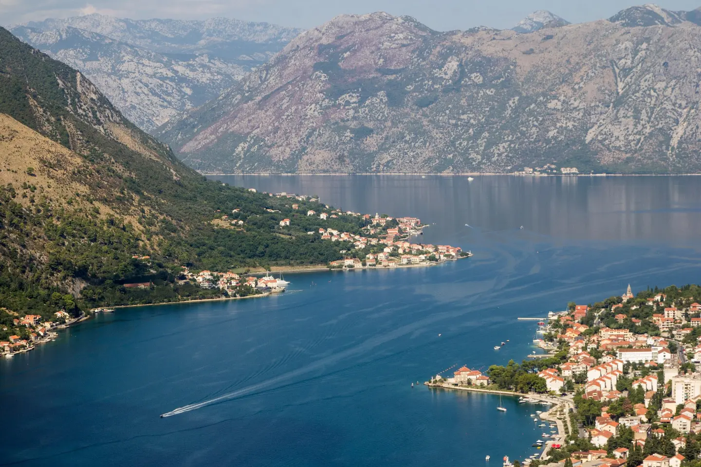
A short loop walk above Kotor with two viewpoints and views of the Bay of Kotor.
A short loop trail of 0.4 km near St. John's Fortress. It passes two viewpoints and offers views of Kotor and the Bay of Kotor. Suitable for all ages.
The trail begins near St. John's Fortress, at an elevation of approximately 181 m a.s.l. It is circular in shape and only 0.4 km long, with a total ascent of 50 m. The estimated walking time without breaks is about 15 minutes.
The terrain is entirely rocky, so comfortable shoes with good soles are recommended even for such a short outing. The trail is rated as easy (T1 on the SAC scale), making it accessible to visitors of all ages and fitness levels.
At about 0.2 km from the starting point there is the first viewpoint (214 m a.s.l.), and at 0.3 km the second viewpoint (234 m a.s.l.). From both spots, views extend toward Kotor and the surrounding area of the Bay of Kotor. The trail ends at the same place where it begins.
Near the starting point are also Dobrota Beach (~0.9 km) and Prčanj (~2.6 km), which can be part of a wider excursion.
What this difficulty means
Well-made paths with gentle gradients. Fine for families and anyone used to walking a few hours.
Mountain hiking grade SAC T1 (scale T1–T6).
Move along the profile to follow the route on the map; switch on 3D for the terrain.
↑ 50 m · ↓ 0 m · highest point 238 m
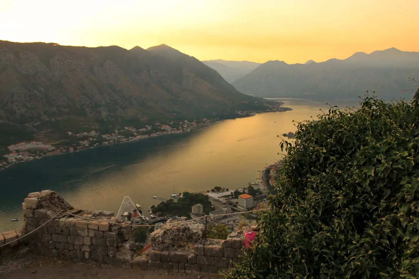
A historic fortress just about 0.2 km from the start of the trail — an ideal addition to the visit.
At 0.2 km from the start of the trail, the first view opens toward Kotor and the Bay of Kotor.
The second viewpoint, at 0.3 km from the starting point, offers a view from a slightly greater elevation.
The entire trail runs over a rocky surface characteristic of this area.
Wear comfortable footwear with good soles — the terrain is entirely rocky.
Bring enough water, especially on warm summer days.
The trail is short, but the sun can be strong — a hat and sun protection are recommended.
Setting off early in the morning or in the evening brings more comfortable temperatures and better visibility.
The trail is suitable for children too, but watch out for slippery rocky surfaces after rain.
Rocky terrain can be slippery after rain or dew — walk carefully. In case of emergency, call the European emergency number 112.
Emergency number in Montenegro: 112.
Good to know
Best season
The trail is at low altitude and accessible throughout the year. The hottest period is July and August, so spring and autumn are more pleasant for walking.
Getting there
The starting point is located near St. John's Fortress, about 0.2 km from the beginning of the trail. Kotor is approximately 0.4 km away and is reachable on foot.
The trail is 0.4 km long and circular in shape — it starts and ends at the same point.
The estimated walking time without breaks is about 15 minutes.
The trail is rated as easy — T1 on the SAC hiking scale. The total ascent is 50 m.
The entire trail (100 %) runs over rocky terrain, so appropriate footwear is recommended.
16.1 km↑ 1,418 m6–8 h
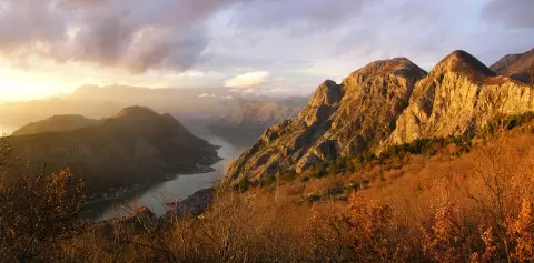
4.8 km↑ 1,074 m4–5½ h
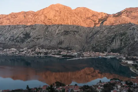
4.7 km↑ 473 m2–2½ h

406 km↑ 10,191 m6–8 days

195 km↑ 3,259 m2–3 days
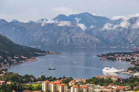
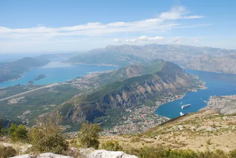
34.3 km↑ 1,738 m2–3 days
Times and grades are estimates. Conditions change: check the weather and local information before you set out.

Ask about Montenegro
Ask me about destinations, restaurants or activities.
