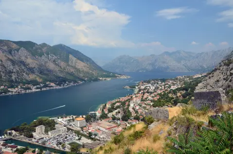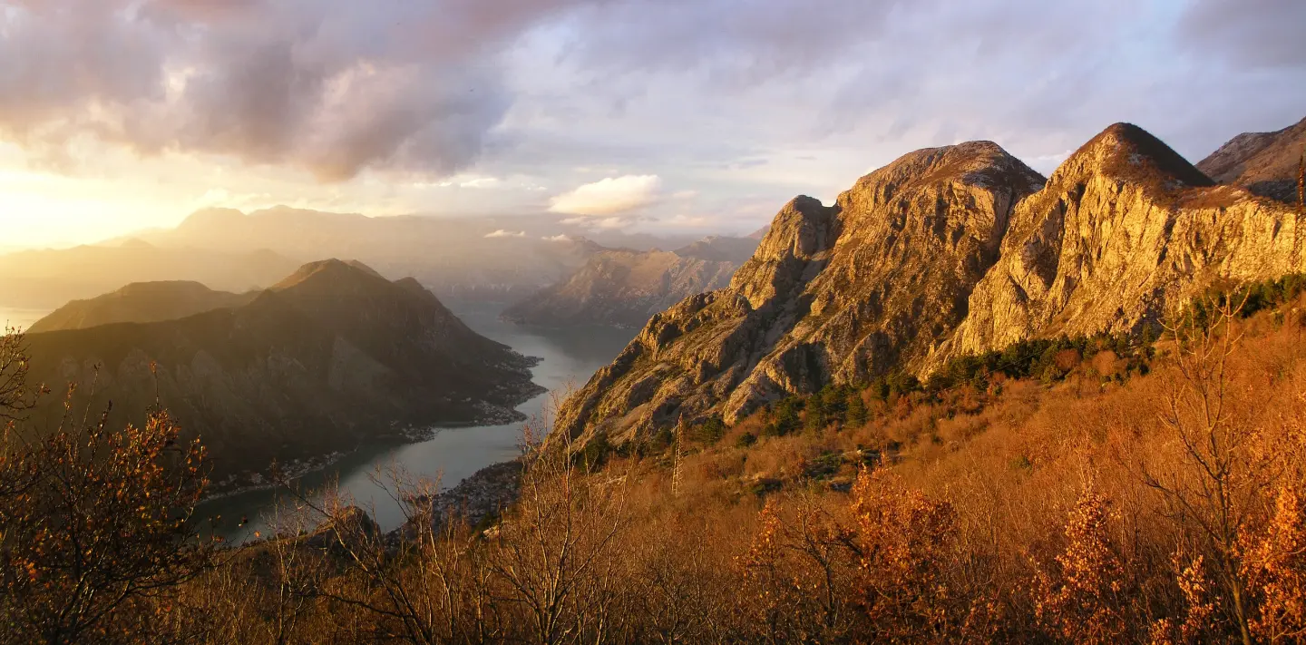
A demanding hiking tour from Kotor via Špiljari to the Krstac Pass, with viewpoints, a fortress and a cave.
A 4.8 km hiking trail in Lovćen National Park leads from Kotor to the Krstac Pass, with a total ascent of 1074 m. It passes by St. John Fortress, the Pestingrad Viewpoint and Murik's Cave; the estimated duration without breaks is 4 h 30 min.
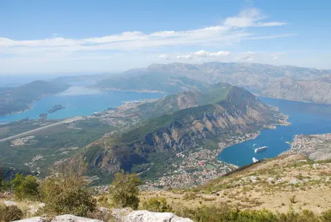
The trail is located in Lovćen National Park and starts near Kotor. At the very beginning there are two drinking water fountains and a viewpoint at 32 m above sea level. Soon the route climbs and passes by St. John Fortress (about 0.2 km from the trail) and Dobrota Beach (about 0.3 km).
After the initial sections, dirt/forest surface predominates (72%), with shorter sections of asphalt/concrete (20%) and gravel (8%). At 2.2 km you reach the Pestingrad Viewpoint (955 m above sea level), and at 2.9 km Murik's Cave (1001 m above sea level).
The hike ends at Krstac Pass (937 m above sea level) after 4.8 km. The total ascent is 1074 m, the total descent 138 m; the highest point is 1027 m above sea level, and the lowest is 1 m above sea level. The trail is one-way, demanding (SAC T2) and is intended for hikers in good physical condition.
What this difficulty means
Steep, rocky or exposed passages and a long day out. For fit, sure-footed hikers with mountain experience.
Mountain hiking grade SAC T2 (scale T1–T6).
Move along the profile to follow the route on the map; switch on 3D for the terrain.
↑ 1,074 m · ↓ 138 m · highest point 1,027 m
Along the way
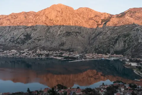
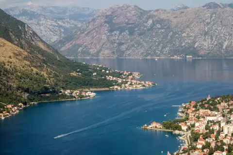
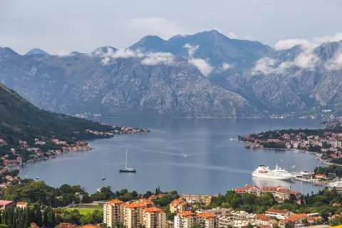
Photos and short clips from points along the route — tap one to open it.
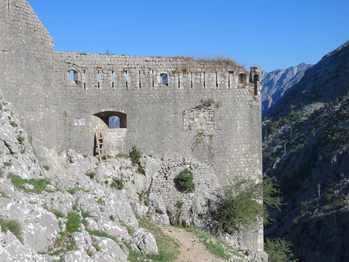
Located about 0.2 km from the trail.
Located at 2.2 km from the start, at 955 m above sea level.
Located at 2.9 km from the start, at 1001 m above sea level.
The final point of the trail at 4.8 km from the start, at 937 m above sea level.
The trail passes by Dobrota Beach, about 0.3 km from the trail.
Carry enough water for the entire hike; at the very beginning there are two drinking fountains.
Wear hiking footwear because of the length, the large ascent and the dirt/forest surface.
Start early, especially in summer, because the estimated duration without breaks is 4 h 30 min.
Check the weather forecast and avoid the hike during thunderstorms or dense fog.
The trail is one-way – plan the return from Krstac in advance or arrange transport.
The trail is demanding and leads through mountainous terrain; fog, thunderstorms and strong wind are possible on some sections. In such conditions, stop the ascent and find a safe place. In emergencies, call 112.
Emergency number in Montenegro: 112.
Good to know
Best season
The best months for this hike are May, June, July, August, September and October. In summer, prepare for high temperatures and carry extra water.
Getting there
The nearest place to the start of the trail is Kotor, about 0.2 km away.
The trail is 4.8 km long, and the estimated walking time without breaks is 4 h 30 min.
The total ascent is 1074 m, and the total descent is 138 m.
On our scale it is demanding, and on the SAC hiking scale T2.
The best months are May, June, July, August, September and October.
16.1 km↑ 1,418 m6–8 h
4.7 km↑ 473 m2–2½ h

406 km↑ 10,191 m6–8 days

195 km↑ 3,259 m2–3 days
0.4 km↑ 50 m15–20 min
Loop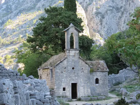
34.3 km↑ 1,738 m2–3 days
Times and grades are estimates. Conditions change: check the weather and local information before you set out.

Ask about Montenegro
Ask me about destinations, restaurants or activities.