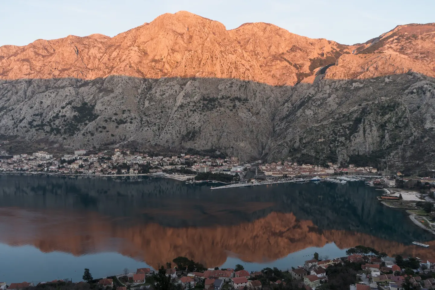
A hiking tour from Kotor to Vrmac Fortress with viewpoints and an ascent through forested terrain.
A one-way hiking trail 4.7 km long leads from Kotor to Vrmac Fortress. The ascent of 473 m takes about 2 h 10 min and offers several viewpoints.
The trail starts in Kotor, at just 1 m above sea level. The initial section passes through mixed terrain — asphalt and concrete make up 34%, while dirt and forest trail account for 66%. Right at the beginning there are two drinking-water fountains, at 13 m and 19 m, and a low viewpoint at 6 m. The trail passes by the Fortress of Saint John, located about 300 metres away.
The ascent continues through forested and dirt sections. At 2.1 km you reach a viewpoint at 169 m, and at 2.5 km a viewpoint at 229 m. The last and highest viewpoint is at 4.6 km, at 467 m above sea level. The highest point of the trail is at 480 m.
The trail is 4.7 km long and has a total ascent of 473 m, with only 5 m of descent. The estimated duration without breaks is 2 hours and 10 minutes. The difficulty is moderate, rated T2 on the SAC scale. As the trail is one-way, plan your return or transportation in advance.
What this difficulty means
Longer or steeper sections and uneven ground. You need basic fitness, sturdy shoes and a little mountain experience.
Mountain hiking grade SAC T2 (scale T1–T6).
Move along the profile to follow the route on the map; switch on 3D for the terrain.
↑ 473 m · ↓ 5 m · highest point 480 m
The trail passes by the Fortress of Saint John, which is located about 300 metres from the trail.
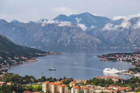
An elevated viewpoint at 2.1 km from the start of the trail.
A view from the trail at 2.5 km from the start.
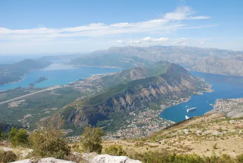
At 4.6 km the trail reaches a viewpoint at 467 m above sea level, near the highest point.
Bring enough water; fountains are noted at the start of the trail.
Wear hiking footwear due to the dirt and forest sections.
The tour is one-way — plan your return or transportation in advance.
Set off early, especially during the warmer months.
Check the weather forecast before departure.
The trail is a mountain trail and runs in one direction. In the event of fog, thunder or bad weather, stop the ascent and find a safe place. For emergencies call 112.
Emergency number in Montenegro: 112.
Good to know
Best season
The best months for this trail are March, April, May, June, September, October and November. Hiking conditions are more favourable during these months.
Getting there
The easiest way to reach the start of the trail is from Kotor — it is only about 0.1 km away.
The trail is 4.7 km long.
The estimated duration without breaks is 2 hours and 10 minutes.
The difficulty is moderate; it is rated T2 on the SAC scale.
The best months are March, April, May, June, September, October and November.

406 km↑ 10,191 m6–8 days

195 km↑ 3,259 m2–3 days
4.8 km↑ 1,074 m4–5½ h
16.1 km↑ 1,418 m6–8 h
0.4 km↑ 50 m15–20 min
Loop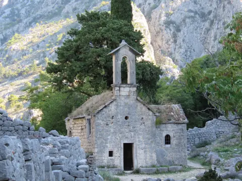
34.3 km↑ 1,738 m2–3 days
Times and grades are estimates. Conditions change: check the weather and local information before you set out.

Ask about Montenegro
Ask me about destinations, restaurants or activities.
