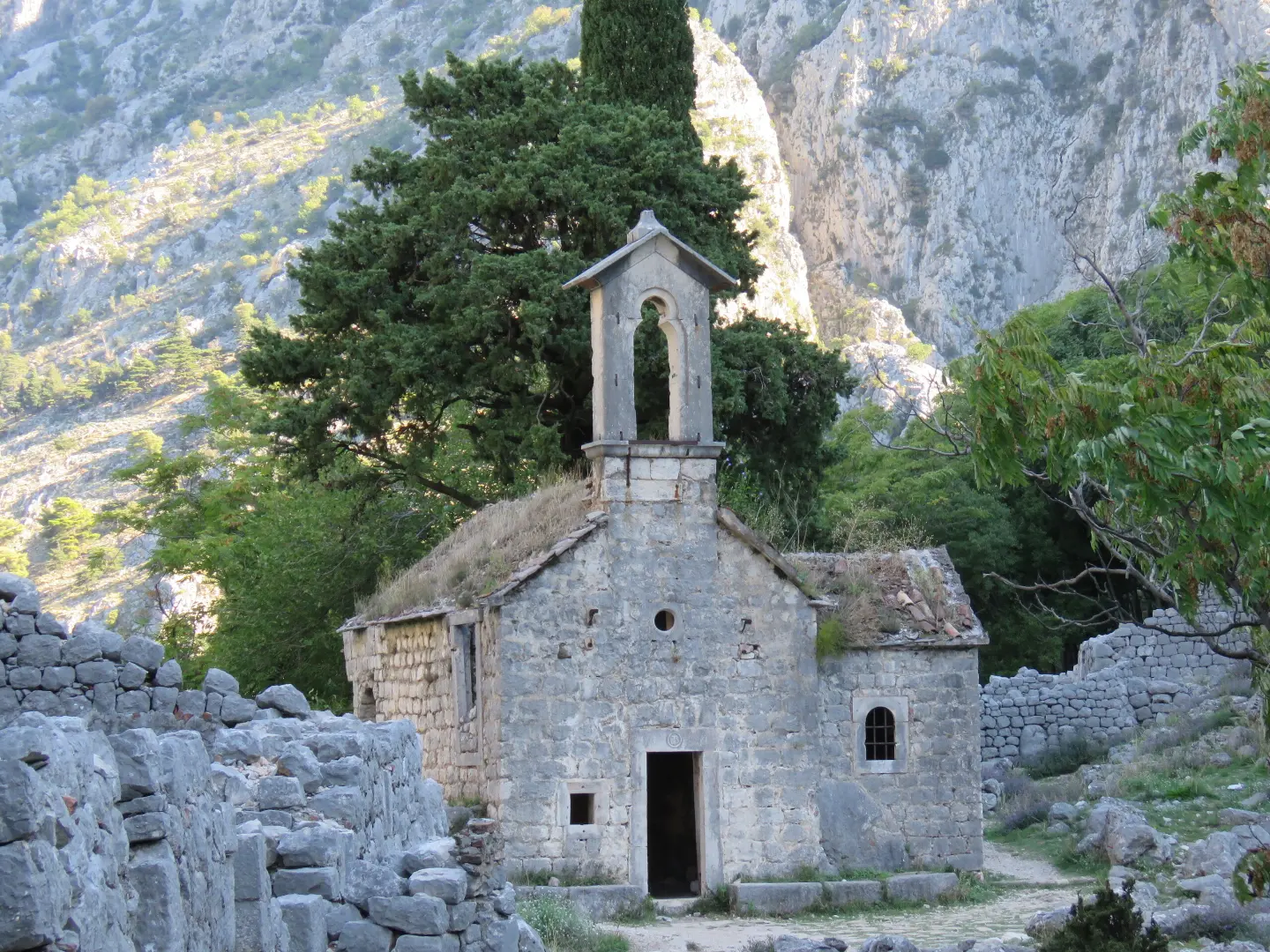
Small sector near the ruins of Špiljari, above the Kotor fortress – 5 routes up to 30 m.
Small sector near the ruins of Špiljari, above the Kotor fortress – 5 routes up to 30 m.
The Špiljari sector is located above the St. John fortress, near the abandoned hamlet of Špiljari. According to montenegro.travel it has 5 routes graded from 5 to 7b+, up to 30 m long; the routes were equipped in 2021.
In the afternoon the rock is in the shade, so it is suitable for warmer days.
Sources: montenegro.travel – Sport climbing (https://www.montenegro.travel/me/istrazi-crnu-goru/priroda-i-avanturizam/sportsko-penjanje); Montenegro Climbing Guide (working version 2022, Mali alpinistički klub, montenegroclimbing.net).
The data is indicative and for planning purposes; the number and grades of routes change as climbing areas are equipped. For the current guide, check with local climbing clubs.
Places on this route
Access is by a steep rocky path; bring water. Emergency: 112.
Emergency number in Montenegro: 112.
Good to know
Best season
Autumn, winter and spring; in summer afternoons.
Getting there
From Kotor Old Town take the path along the ramparts and behind the fortress to the ruins of Špiljari, then a few minutes descent to the rock – about 20 minutes in total.
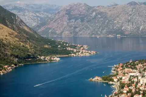
A short loop trail of 0.4 km near St. John's Fortress. It passes two viewpoints and offers views of Kotor and the Bay of Kotor. Suitable for all ages.
0.4 km50 m15–20 minLoop
View trail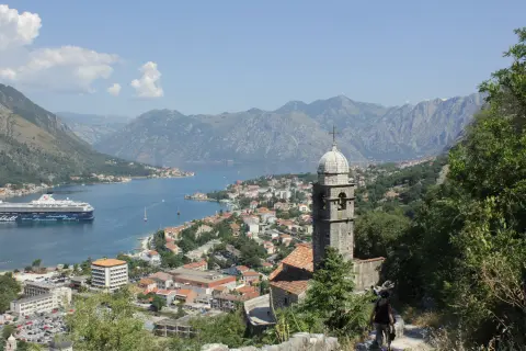
Hiking trail 759 leads from Dobrota Beach near Kotor to Lovćen National Park. The length is 16.1 km, with 1418 m of ascent and numerous viewpoints.
16.1 km1,418 m6–8 h
View trail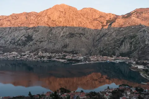
A one-way hiking trail 4.7 km long leads from Kotor to Vrmac Fortress. The ascent of 473 m takes about 2 h 10 min and offers several viewpoints.
4.7 km473 m2–2½ h
View trail
Top Biking Trail 1 – SALTY AND SWEET is a very demanding one-way cycling route 406.3 km long. It passes by Perast and Dobrota and through Lovćen National Park and Durmitor National Park.
406 km10,191 m6–8 days
View trail
EuroVelo 8 – Mediterranean Route – Montenegro Section is a cycling route 195.0 km long from Njivice to Sukobin. It runs on asphalt, has 3,259 m of ascent and passes through the coastal area, Lovćen National Park and Lake Skadar.
195 km3,259 m2–3 days
View trail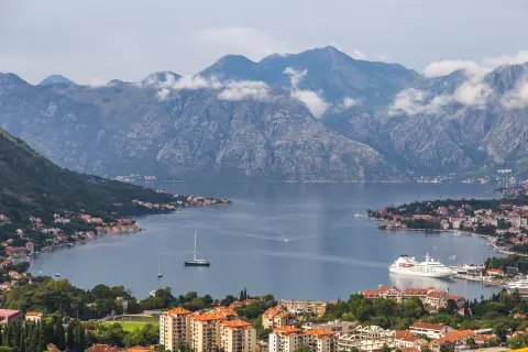
Overhanging limestone cliffs with tufas above Kotor, overlooking the Bay of Kotor – 40 routes from 4+ to 8b+.
View trail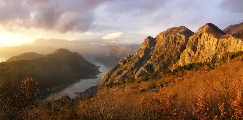
A 4.8 km hiking trail in Lovćen National Park leads from Kotor to the Krstac Pass, with a total ascent of 1074 m. It passes by St. John Fortress, the Pestingrad Viewpoint and Murik's Cave; the estimated duration without breaks is 4 h 30 min.
4.8 km1,074 m4–5½ h
View trail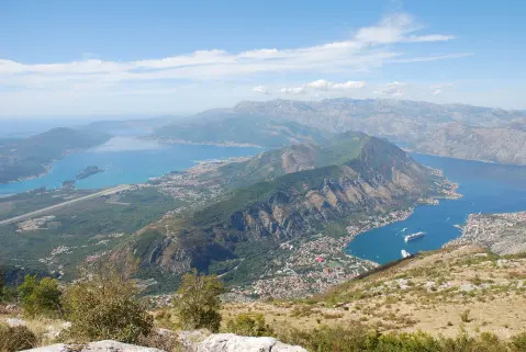
A one-way hiking tour through Lovćen National Park: 34.3 km, 1,738 m of ascent and 1,035 m of descent. Intended for experienced hikers, with multiple viewpoints and the Ivanova korita spring.
34.3 km1,738 m2–3 days
View trailTimes and grades are estimates. Conditions change: check the weather and local information before you set out. Map and data sources →
